Youghiogheny River Trail
check with the trail manager for updated details before visiting.
Youghiogheny River Trail
State
- Length
28 miles
- Elevation Gain
--
- Route Type
out & back
- Length
28 miles - Elevation Gain
-- - Route Type
out & back
Trail follows Youghiogheny River banks in Ohiopyle State Park. The trail features scenic views of the river, cascading feeder streams, maturing deciduous forests.

Picture the Yough. Photo by Mary Shaw.

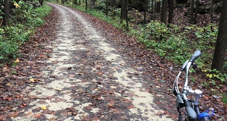
Early Autumn Bike Excursion. Photo by Julie A. Zeyzus.

Early Autumn Bike Excursion. Photo by Julie A. Zeyzus.

Early Autumn Bike Excursion. Photo by Julie A. Zeyzus.

Summer rain. Photo by Mary Knutty.

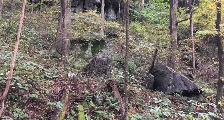
Rock Tent. Photo by Mary Knutty.
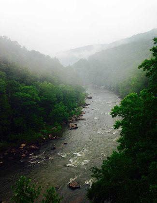
Rapids in the mist. Photo by Mary Knutty.
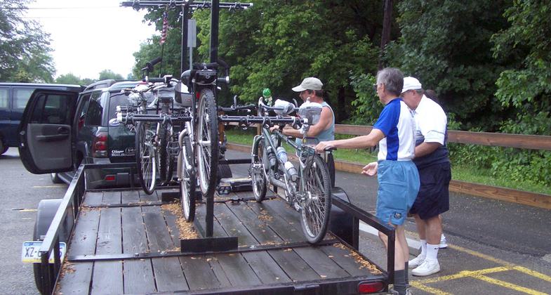
Coke Ovens shuttle. Photo by Mary Shaw.
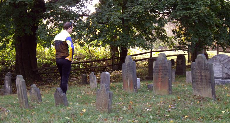
Dravo Cemetery. Photo by Mary Shaw.

Playing in Railroad Rapid. Photo by Mary Shaw.


Location: Ohiopyle State Park
- States: Pennsylvania
The Youghiogheny River Trail has 27 miles of trail in the Ohiopyle State Park and is part of the Great Allegheny Passage that connects Pittsburgh, Pennsylvania, and Cumberland, Maryland. The flat, crushed limestone trail was once the rail bed for the Western Maryland Railroad. This trail is suitable for all ages and accessible to people with disabilities. Rental bicycles are available. The trail is excellent for hiking, jogging, and cross-country skiing and can be used to combine a bike ride or hike with some excellent wilderness trout fishing or hunting.
Accessibility Information
No text provided.
Allowed Uses:
Bicycling Dogs, on leash Hiking/Walking Snow, cross-country skiingOther Activities
- Camping
- Snow, snow play general
- Wildlife viewing / observation
Public Contact
Ohiopyle State ParkP.O. Box 105
Ohiopyle, PA 15470
[email protected] • (724) 329-8591
Contact the trail manager for current maps and visiting details.
More Details
- Elevation (low): --
- Elevation (high): --
- Elevation (cumulative): --
- Part of a Trail System? No
- Surface (primary): Rock, crushed
- Surfaces (additional): --
- Tread Width (average): 108"
- Tread Width (minimum): --
- Running length (minimum): --
- Tread Grade (average, percent): --
- Tread Grade (maximum):
- Running length (maximum): --
- Cross-slope (average, percent): --
- Cross-slope (maximum): --
- Running length (maximum): --
- Certified as an NRT
May 4, 1988