Wyoming Range
check with the trail manager for updated details before visiting.
Wyoming Range
USDA Forest Service
Backcountry Trail
- Length
70 miles
- Elevation Gain
--
- Route Type
out & back
(1 review)
- Length
70 miles - Elevation Gain
-- - Route Type
out & back
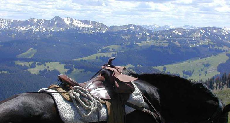
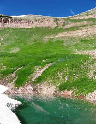
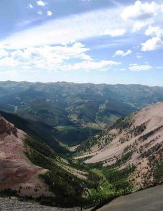
Wyoming Range NRT runs 75 miles from south of Jackson Hole into the southwest mountains of Wyoming.
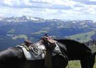
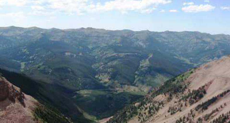
Location: In Bridger-Teton NF, spans N-S, E of Grey's River. Connects Piney Creek Trailhead to Bryan Flat Guard Station.
- States: Wyoming
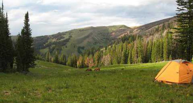
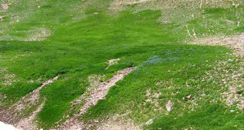
The Wyoming Range NRT, a 75-mile trail that runs from south of Jackson Hole into the SW mountains of Wyoming. Trail begins in Snider Basin at South Piney Creek trailhead. Trail ends at Bryan Flat Guard Station on south side of Hoback River and Camp Davis. Highlights include scenery, unique geologic features, wildlife and wildflowers, good places to camp along the way.
Accessibility Information
No text provided.
Reviews
Eleanor Roggenkamp
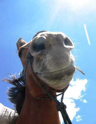
Hiked on foot with pack string in tow.
Very remote! One of my favorite experiences of my life. We hiked this trail in August 2010. Although parts of it weren't well marked or mapped, with a little navigation skills we made it safe and sound. Saw elk and heard a mountain lion. Water that time of year was getting a little scarce in places so stocking up when you can is recommended. I give 4 stars only because the trail markings at that point were, at times, hard to find. Happy Trails!
Allowed Uses:
Dogs, on leash Hiking/Walking Motorized vehicles, motorcycling Motorized vehicles, snowmobilingOther Activities
- Camping
- Snow, snow play general
Public Contact
Bridger-Teton National ForestP.O. Box 1888
Jackson, WY 83001
(307) 739-5500
Contact the trail manager for current maps and visiting details.
More Details
- Elevation (low): --
- Elevation (high): --
- Elevation (cumulative): --
- Part of a Trail System? No
- Surface (primary): --
- Surfaces (additional): --
- Tread Width (average): 24"
- Tread Width (minimum): --
- Running length (minimum): --
- Tread Grade (average, percent): --
- Tread Grade (maximum):
- Running length (maximum): --
- Cross-slope (average, percent): --
- Cross-slope (maximum): --
- Running length (maximum): --
- Certified as an NRT
May 7, 1979