Wissahickon Park Trail System
This information is a public record of the 1975 NRT application and may be out of date if it has not been updated by a trail manager --
check with the trail manager for updated details before visiting.
check with the trail manager for updated details before visiting.
Wissahickon Park Trail System
City, Town, or County
- Length
57 miles
- Elevation Gain
--
- Route Type
out & back
- Length
57 miles - Elevation Gain
-- - Route Type
out & back
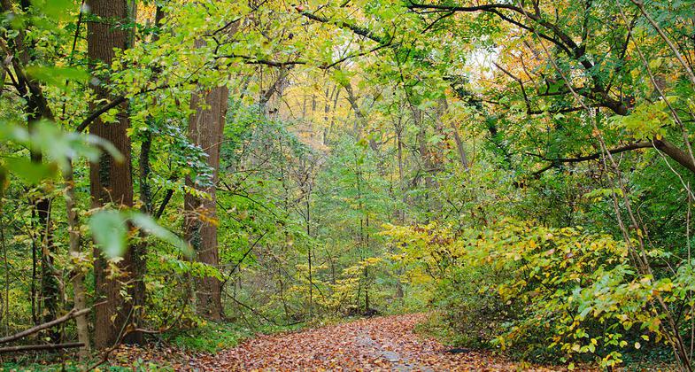
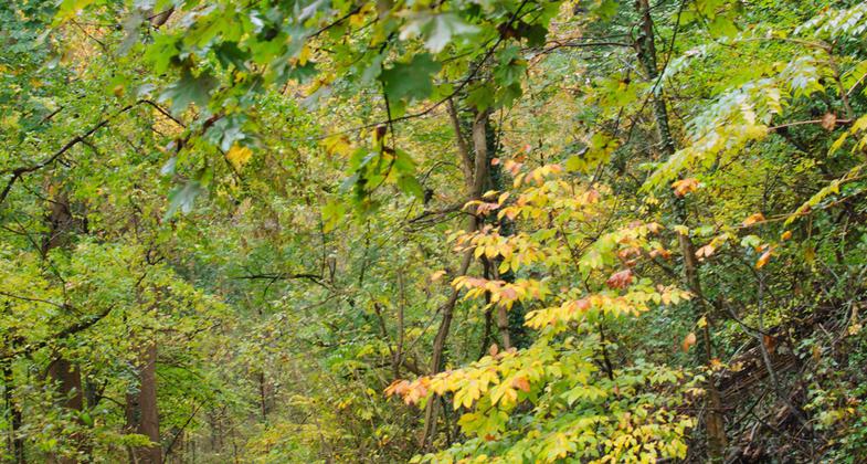
Wissahickon Valley fall foliage. Photo by Insapphowetrust.
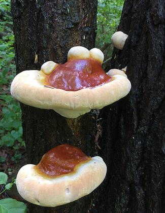
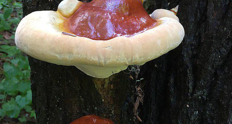
Ganoderma tsugae Murrill in Wissahickon Valley Park. Photo by geraldine.
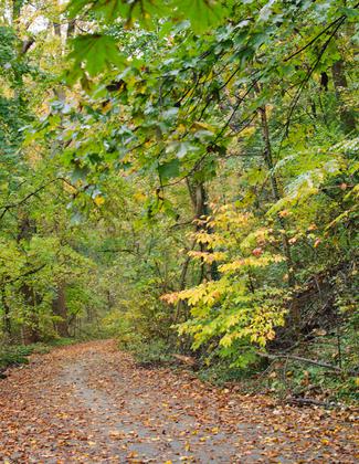
Wissahickon Valley fall foliage. Photo by Insapphowetrust.

Location: Urban, in NW Philadelphia
- States: Pennsylvania
The Wissahickon Valley is a steep gorge comprised of 1800 acres. On the site of 18th-19th Century mills, the land has been pristine forested trails since the late 1800s. Creek flows through the gorge providing fishing opportunities plus beautiful views.
Accessibility Information
No text provided.
Allowed Uses:
Bicycling Dogs, on leash Equestrian Hiking/Walking Snow, cross-country skiingOther Activities
- Fishing
- Snow, snow play general
- Wildlife viewing / observation
Public Contact
James DonaghyFairmount Park Commission/City of Philadelphia
Memorial Hall, West Park
Philadelphia, PA 19131
[email protected] • (215) 685-0014
Contact the trail manager for current maps and visiting details.
More Details
- Elevation (low): --
- Elevation (high): --
- Elevation (cumulative): --
- Part of a Trail System? No
- Surface (primary): --
- Surfaces (additional): --
- Tread Width (average): 60"
- Tread Width (minimum): --
- Running length (minimum): --
- Tread Grade (average, percent): --
- Tread Grade (maximum):
- Running length (maximum): --
- Cross-slope (average, percent): --
- Cross-slope (maximum): --
- Running length (maximum): --
- Certified as an NRT
Apr 27, 1975