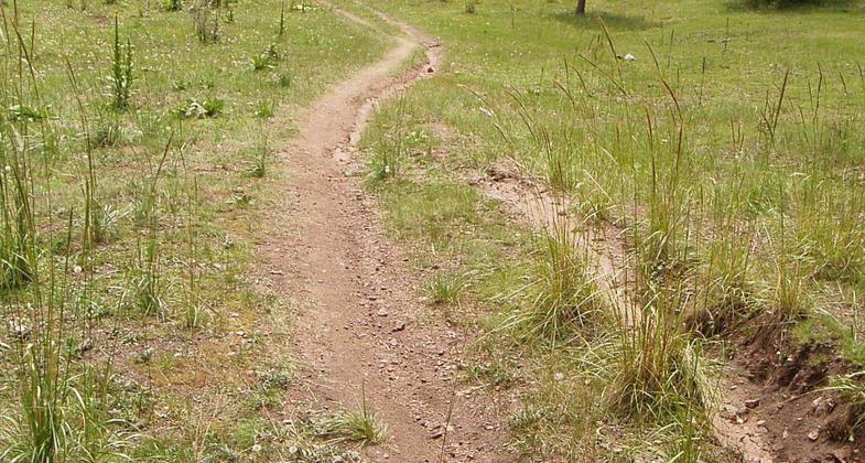
Winsor Trail
This information is a public record of the 1979 NRT application and may be out of date if it has not been updated by a trail manager --
check with the trail manager for updated details before visiting.
check with the trail manager for updated details before visiting.
Winsor Trail
USDA Forest Service
Backcountry Trail
Urban Trail
- Length
18 miles
- Elevation Gain
--
- Route Type
out & back
- Length
18 miles - Elevation Gain
-- - Route Type
out & back
Explore the Winsor Trail on foot, bike, or horseback!
Location: Suburban, Santa Fe ski basin.
- States: New Mexico
- Counties: Santa Fe, San Miguel
A high-use trail from the village of Tesuque, NM on the west to the village of Cowles NM on the East. Trail cross over the Sangre De Cristo Range of the southern Rockies. 1/2 of the trail is in the Pecos wilderness.
Accessibility Information
No text provided.
Allowed Uses:
Bicycling Equestrian Hiking/Walking Snow, cross-country skiing Snow, snowshoeingOther Activities
- Camping
- Snow, snow play general
- Wildlife viewing / observation
Public Contact
Jennifer SublettSanta Fe National Forest
1710 N. Riverside Dr.
Española, NM
[email protected] • (505) 753-7331
www.fs.usda.gov/santafe
Contact the trail manager for current maps and visiting details.
More Details
- Elevation (low): --
- Elevation (high): --
- Elevation (cumulative): --
- Part of a Trail System? No
- Surface (primary): --
- Surfaces (additional): --
- Tread Width (average): 30"
- Tread Width (minimum): --
- Running length (minimum): --
- Tread Grade (average, percent): --
- Tread Grade (maximum):
- Running length (maximum): --
- Cross-slope (average, percent): --
- Cross-slope (maximum): --
- Running length (maximum): --
- Certified as an NRT
Nov 15, 1979