Willamette River Water Trail
check with the trail manager for updated details before visiting.
Willamette River Water Trail
Nonprofit
National Water Trail
- Length
217 miles
- Elevation Gain
--
- Route Type
out & back
- Length
217 miles - Elevation Gain
-- - Route Type
out & back
The 217-mile water-based trail flows through forests, meadows, parks, farms, and cities large and small. The River Trail descends from the Willamette River headwaters in the Cascade and Coast ranges to Portland, Oregon, and to the confluence with the Columbia River.
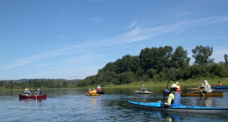
boaters on Willamette.
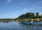
Paddling along the Willamette River Water Trail.
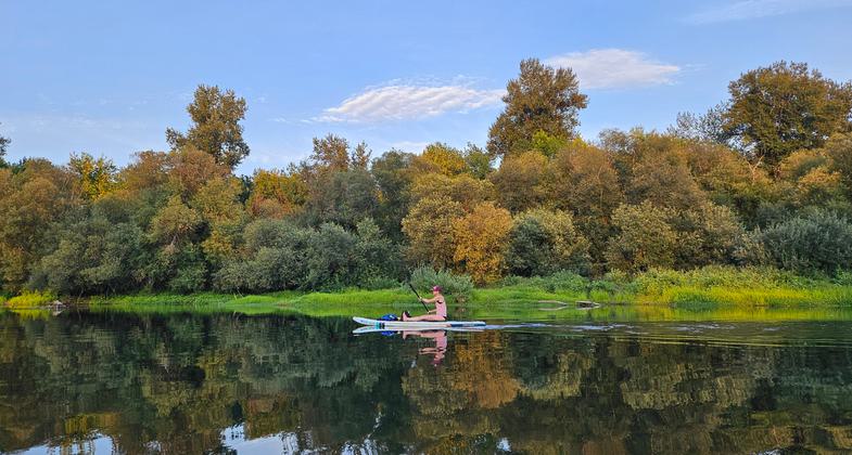
Paddling along the Willamette River Water Trail.
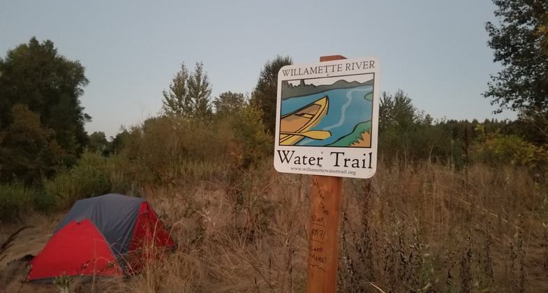
Paddling along the Willamette River Water Trail.
Boat launch at Armitage Park; Eugene, Oregon
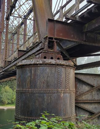
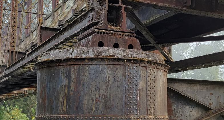
Coburg Railroad Bridge, Armitage Park; Eugene, Oregon
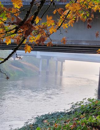
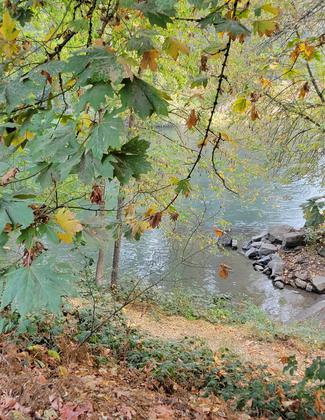
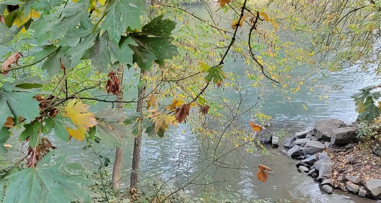
A misty fall morning along the McKenzie River (a tributary of the WRWT); Eugene, Oregon
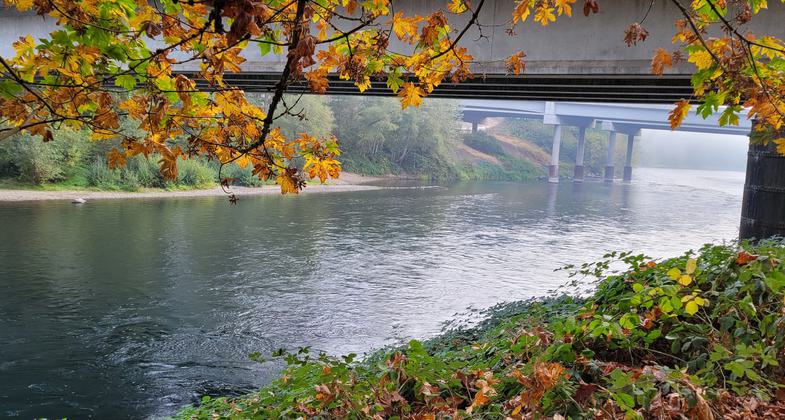
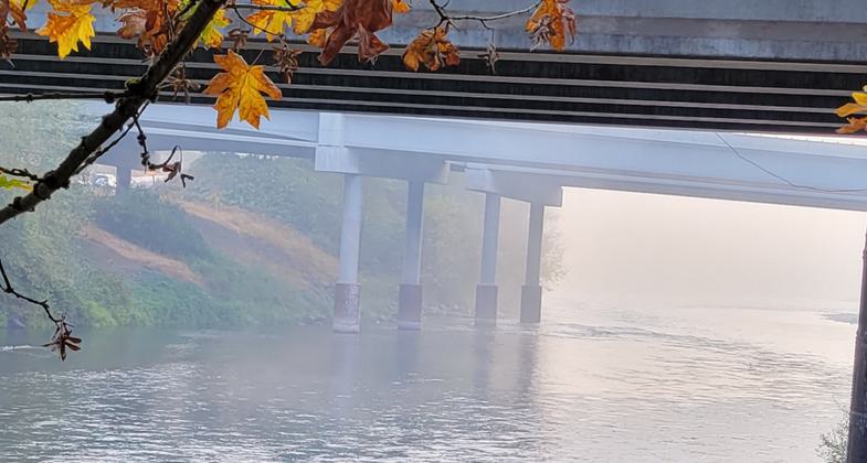
Fall along the McKenzie River (a tributary of the WRWT) at Armitage Park; Eugene, Oregon
Location: The trail includes 217 river miles that extend as far south as Creswell, OR and as far north as St Helens, OR. The area encompasses the entire mainstem of the Willamette River as well as portions of the Coast Fork Willamette and Middle Fork Willamette.
- States: Oregon
- Counties: Benton, Clackamas, Lane, Linn, Marion, Polk, Yamhill
- Cities/Townships: Springfield, Eugene, Corvallis, Albany, Independence, Salem, Newberg, Oregon City, Portland
The Willamette River Water Trail highlights the mainstem Willamette River in addition to portions of the Coast Fork Willamette and Middle Fork Willamette, which join together to form the mainstem river in Springfield, OR. Ranking by volume as the 13th largest river in the U.S., the Willamette's mainstem lies entirely in northwestern Oregon, flowing north between the Oregon Coast Range to the west and the Cascade Range to the east. From its source waters to its confluence with the Columbia River, the Willamette courses through national forests, rich farmlands, quiet towns, and the state's largest cities. Seventy percent of Oregon's population enjoys the privilege of living in the Willamette Valley.
For trip planning, visit www.willamettewatertrail.org and www.willametteriverkeeper.org
Accessibility Information
No text provided.
Allowed Uses:
Boating, motorized Boating, human-powered SwimmingOther Activities
- Camping
- Fishing
- Heritage and history
- Wildlife viewing / observation
Public Contact
Michelle Emmons, Co-Director & Upper Willamette RiverkeeperWillamette Riverkeeper
454 Willamette St. #218
Eugene, OR 97401
[email protected] • 541-913-4318
More Details
- Elevation (low): --
- Elevation (high): --
- Elevation (cumulative): --
- Part of a Trail System? No
- National Designations: National Natural Landmark; American Heritage River
- Surface (primary): Water, slow moving
- Surfaces (additional): --
- Tread Width (average): 0"
- Tread Width (minimum): 0
- Running length (minimum): --
- Tread Grade (average, percent): --
- Tread Grade (maximum):
- Running length (maximum): --
- Cross-slope (average, percent): 0
- Cross-slope (maximum): --
- Running length (maximum): --
- Certified as an NRT
May 21, 2012