Wilkinson Trail
check with the trail manager for updated details before visiting.
Wilkinson Trail
National Park Service
Frontcountry Trail
- Length
4.2 miles
- Elevation Gain
--
- Route Type
out & back
(1 review)
- Length
4.2 miles - Elevation Gain
-- - Route Type
out & back
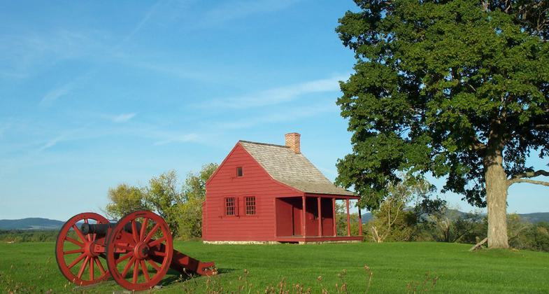
Farmhouse that served as a mid-level headquarters building during battles. Photo by NPS.
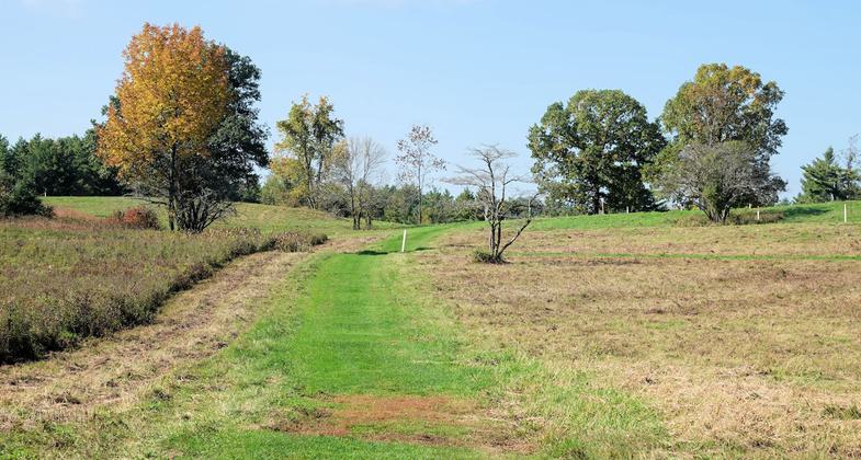
Wilkinson Trail at Saratoga NHP - 10-10-2018. Photo by Jim Walla.
Wilkinson Trail at Saratoga NHP - 10-10-2018. Photo by Jim Walla.
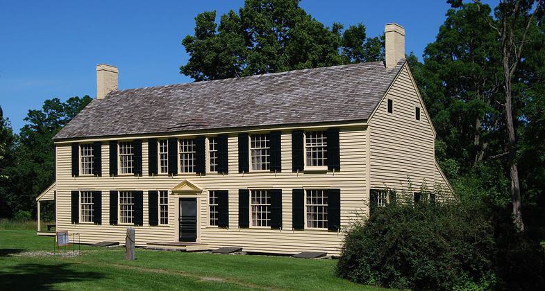
Philip Schuyler house. Photo by Matt Wade/wiki.
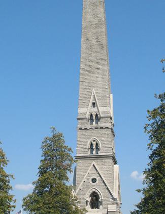
Saratoga Monument in Saratoga National Historical Park. Photo by Americasroof/wiki.
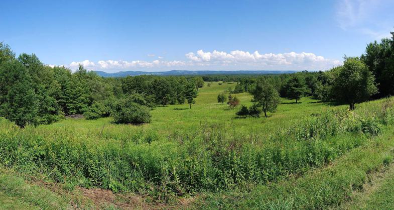
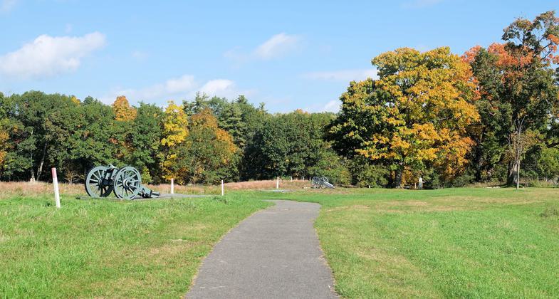
View of the battlefield. Photo by Matt Wade/wiki.


Location: At Saratoga NHP, starts at battlefield visitor center.
- States: New York
The trail follows sections of the 1777 road system and traverses various British Military positions. There are a series of interpretation stations en route. Some steep grades and slippery slopes when wet.
Accessibility Information
No text provided.
Reviews
Jim Walla
Wilkinson Trail - Oct 10, 2018
This trail wanders around the Saratoga National Historical Park. Roughly half the trail is out in open fields and half is in forest. The trail is easy and well maintained with just a couple of short, gentle hills to climb. There are several kiosks where you can use you phone to listen to battlefield information. I did not try these, so I can't comment on them. I took a few detours to check out battlements, so my total hike was over 4.5 miles. All in all, this was a very pleasant hike. In the fall, the colors are excellent and the calls of souring red-tailed hawks was quite nice.
Allowed Uses:
Hiking/Walking Snow, cross-country skiing Snow, snowshoeingOther Activities
- Snow, snow play general
Public Contact
Jo FinamSaratoga National Historical Park
648 Route 32
Stillwater, NY 12170
[email protected] • (518) 664-9821
Contact the trail manager for current maps and visiting details.
More Details
- Elevation (low): --
- Elevation (high): --
- Elevation (cumulative): --
- Part of a Trail System? No
- Surface (primary): --
- Surfaces (additional): --
- Tread Width (average): 72"
- Tread Width (minimum): --
- Running length (minimum): --
- Tread Grade (average, percent): --
- Tread Grade (maximum):
- Running length (maximum): --
- Cross-slope (average, percent): --
- Cross-slope (maximum): --
- Running length (maximum): --
- Certified as an NRT
Jun 15, 1987