Wilderness Waterway
This information is a public record of the 1981 NRT application and may be out of date if it has not been updated by a trail manager --
check with the trail manager for updated details before visiting.
check with the trail manager for updated details before visiting.
Wilderness Waterway
National Park Service
Water Trail (other)
- Length
99 miles
- Elevation Gain
--
- Route Type
out & back
- Length
99 miles - Elevation Gain
-- - Route Type
out & back
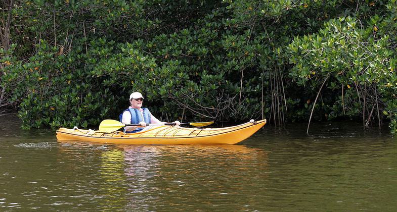
Flamingo - Inland Waterway. Photo by NPSPhoto, R. Cammauf.
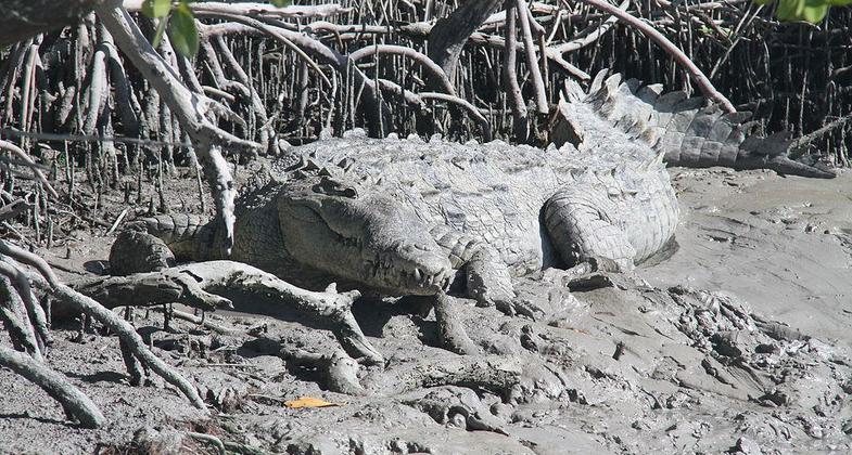
American Crocodile on bank near Flamingo, Florida in Everglades National Park. Photo by Chaputjp.
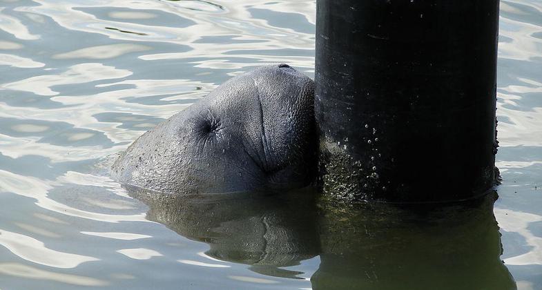
Manatee Flamingo Marina. Photo by NPSPhoto, A.Danneker.
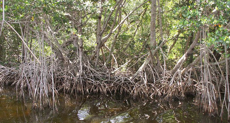
Red mangrove trees along the Buttonwood Canal near Flamingo in Everglades National Park. Photo by Moni3.
Location: Along W side of Everglades Nat. Park from Everglades City S to Flamingo.
- States: Florida
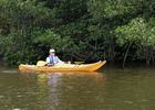
Winds through open bays and lakes and narrow winding sections along waterway. Mangrove trees throughout. Beach sites on Gulf of Mexico are potential stops along trip. Calusa Indian Shell Mounds can be seen in Gulf Coast District. Manatees, alligators.
Accessibility Information
No text provided.
Allowed Uses:
Boating, motorized Boating, human-poweredPublic Contact
Everglades National Park.40001 State Rd. 9336
Homestead, FL 33034
(305) 242-7700
www.nps.gov/ever
More Details
- Elevation (low): --
- Elevation (high): --
- Elevation (cumulative): --
- Part of a Trail System? No
- Surface (primary): --
- Surfaces (additional): --
- Tread Width (average): 0"
- Tread Width (minimum): --
- Running length (minimum): --
- Tread Grade (average, percent): --
- Tread Grade (maximum):
- Running length (maximum): --
- Cross-slope (average, percent): --
- Cross-slope (maximum): --
- Running length (maximum): --
- Certified as an NRT
Mar 19, 1981