Wilderness Road
check with the trail manager for updated details before visiting.
Wilderness Road
State
Backcountry Trail
- Length
2.2 miles
- Elevation Gain
--
- Route Type
out & back
- Length
2.2 miles - Elevation Gain
-- - Route Type
out & back
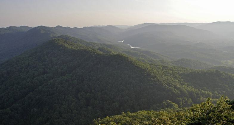
The trail follows a route taken by frontiersman Daniel Boone in 1775 through the Cumberland Gap in the Appalachian Mountains located near the intersection of Kentucky, Virginia, and Tennessee, through the interior of Kentucky and to the Ohio River.

Location:
- States: Kentucky
In 1775, frontiersman Daniel Boone blazed a trail through the Cumberland Gap in the Appalachian Mountains located near the intersection of Kentucky, Virginia, and Tennessee, through the interior of Kentucky, and to the Ohio River. The Wilderness Road was steep, rough, and narrow, and could only be traversed on foot or horseback.
The trail served as a pathway to the western United States for settlers over the next 35 years. Boone's pioneering path led to the establishment of the first settlements in Kentucky.
By 1840, the use of the Wilderness Road had declined, as advances in engineering had enabled waterway travel via the Erie Canal and through the rivers of the Ohio Valley. Cumberland Gap later became part of the National Parks System, and portions of the Wilderness Road were included in Wilderness Road State Park.
Accessibility Information
No text provided.
Allowed Uses:
Hiking/WalkingPublic Contact
Dept. of ParksCapitol Plaza Tower
Frankfort, KY 40601
Contact the trail manager for current maps and visiting details.
More Details
- Elevation (low): --
- Elevation (high): --
- Elevation (cumulative): --
- Part of a Trail System? No
- Surface (primary): --
- Surfaces (additional): --
- Tread Width (average): 0"
- Tread Width (minimum): --
- Running length (minimum): --
- Tread Grade (average, percent): --
- Tread Grade (maximum):
- Running length (maximum): --
- Cross-slope (average, percent): --
- Cross-slope (maximum): --
- Running length (maximum): --
- Certified as an NRT
Apr 12, 1982