Wild Oak
This information is a public record of the 1979 NRT application and may be out of date if it has not been updated by a trail manager --
check with the trail manager for updated details before visiting.
check with the trail manager for updated details before visiting.
Wild Oak
USDA Forest Service
- Length
26 miles
- Elevation Gain
--
- Route Type
out & back
- Length
26 miles - Elevation Gain
-- - Route Type
out & back

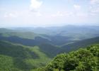
Wild Oak Trail view. Photo by Wiki.

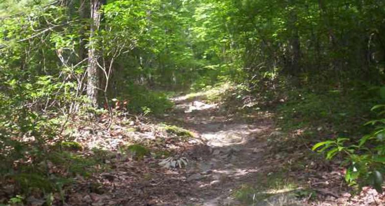
An uphill on the Wild Oak Trail. Photo by Omarcheeseboro/wiki.

The North River, as seen from the Wild Oak Trail. Photo by Omarcheeseboro/wiki.
Location: W of Mount Solon at junction of routes 101 and 718.
- States: Virginia
Loop trail mostly on ridge tops through variety of habitats, forest, mountain scenery, rivers and side trails.
Accessibility Information
No text provided.
Allowed Uses:
Dogs, on leash Hiking/WalkingOther Activities
- Camping
Public Contact
George Washington National ForestDry River Ranger District
Bridgewater, VA 22812
(540) 828-2591
Contact the trail manager for current maps and visiting details.
More Details
- Elevation (low): --
- Elevation (high): --
- Elevation (cumulative): --
- Part of a Trail System? No
- Surface (primary): --
- Surfaces (additional): --
- Tread Width (average): 18"
- Tread Width (minimum): --
- Running length (minimum): --
- Tread Grade (average, percent): --
- Tread Grade (maximum):
- Running length (maximum): --
- Cross-slope (average, percent): --
- Cross-slope (maximum): --
- Running length (maximum): --
- Certified as an NRT
Aug 16, 1979