Wheeler Peak Trail System
check with the trail manager for updated details before visiting.
Wheeler Peak Trail System
National Park Service
- Length
10 miles
- Elevation Gain
--
- Route Type
out & back
- Length
10 miles - Elevation Gain
-- - Route Type
out & back
The hike up Wheeler Peak is 8.6 miles round trip with an elevation gain of 2,900 feet to the 13,063-foot summit. It's a moderately easy hike with no technical areas, just steep, rocky sections to navigate
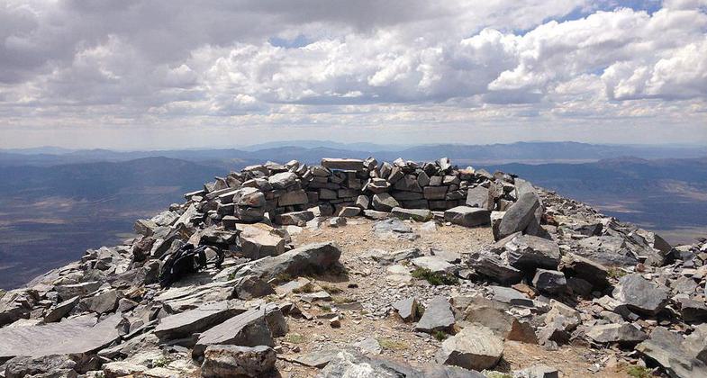
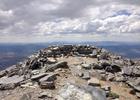
The summit of Wheeler Peak. Photo by Famartin.
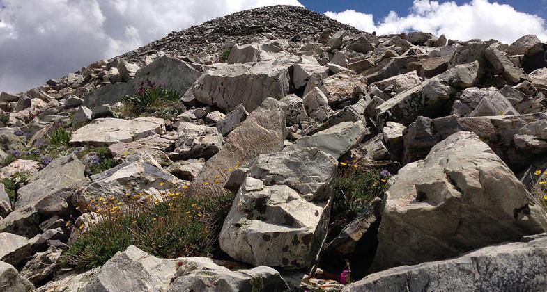
Alpine wildflowers near the summit of Wheeler Peak. Photo by Famartin.
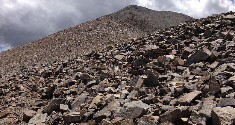
View up towards the summit of Wheeler Peak from along the Wheeler Peak Summit Trail. Photo by Famartin.
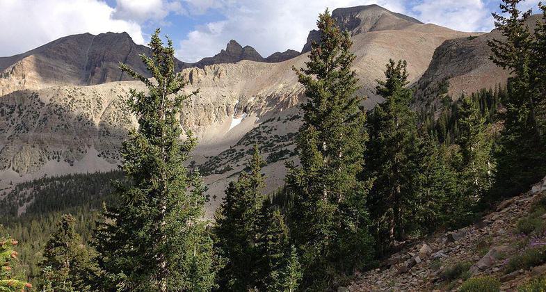
View of Wheeler Peak from the Wheeler Peak Summit Trail in Great Basin National Park. Photo by Famartin/wiki.
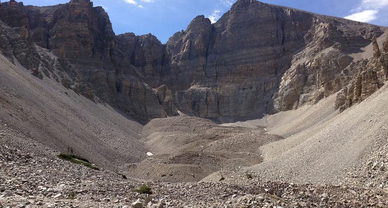
View up towards Wheeler Peak. Photo by Famartin.
Location: Great Basin National Park between Bald Mountain and Wheeler Peak.
- States: Nevada
Wheeler Peak is located in Great Basin National Park, which encompasses a massive mountain range that looms over the sagebrush flats of western Utah and eastern Nevada. Great Basin is most well known for the ancient, 5,000-year-old Bristlecone Pines and tours of the Lehman Caves. But high above all that, towering above all other summits in the Snake Range, stands Wheeler Peak.
If you want to summit Wheeler Peak, you'll need to get an early start, especially if climbing in monsoon season, to avoid thunderstorms. To do that, it's best to camp in Great Basin where several developed campgrounds are there stake your tent and get some sleep. On summit day, drive up the Wheeler Peak Scenic Drive as it climbs from sage and grass topography to a dramatic shift through aspens and fragrant pine forests at the highest elevation. Once there, you'll feel like you're floating on a sky island as the desert spreads out far below in all directions.
Accessibility Information
No text provided.
Allowed Uses:
Hiking/WalkingPublic Contact
National Park Service2035 Last Chance Rd.
Elko, NV 89801
(702) 738-5171
Contact the trail manager for current maps and visiting details.
More Details
- Elevation (low): --
- Elevation (high): --
- Elevation (cumulative): --
- Part of a Trail System? No
- Surface (primary): --
- Surfaces (additional): --
- Tread Width (average): 0"
- Tread Width (minimum): --
- Running length (minimum): --
- Tread Grade (average, percent): --
- Tread Grade (maximum):
- Running length (maximum): --
- Cross-slope (average, percent): --
- Cross-slope (maximum): --
- Running length (maximum): --
- Certified as an NRT
Mar 4, 1979