Weiser River Trail
check with the trail manager for updated details before visiting.
Weiser River Trail
Nonprofit
Backcountry Trail
Frontcountry Trail
Rail Trail
- Length
85 miles
- Elevation Gain
--
- Route Type
out & back
- Length
85 miles - Elevation Gain
-- - Route Type
out & back
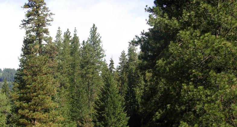
The Weiser River Trail is an 85-mile long rail-trail located between Weiser and New Meadows. It offers a variety of experiences for non-motorized trail users as it passes through desert canyons, alpine meadows, and small towns.
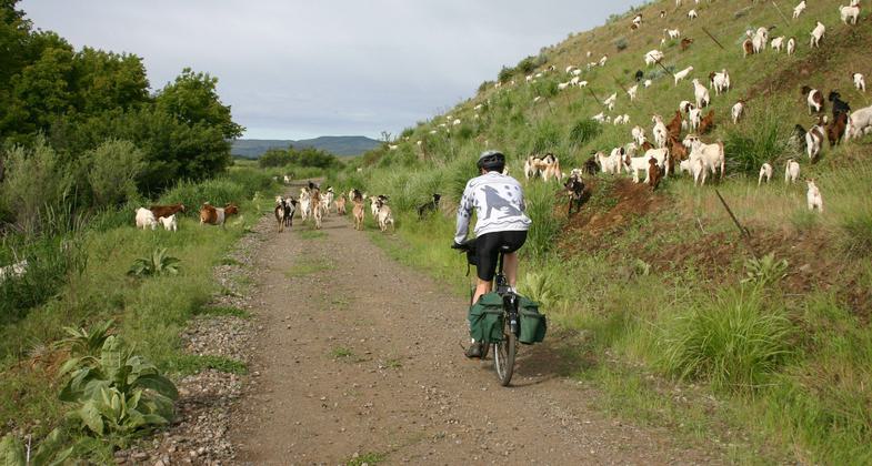
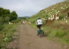
Goat crossing. Photo by Friends of the Weiser River Tr.
Near fruitvale. Photo by Dave.
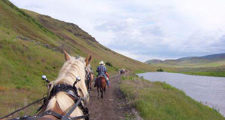
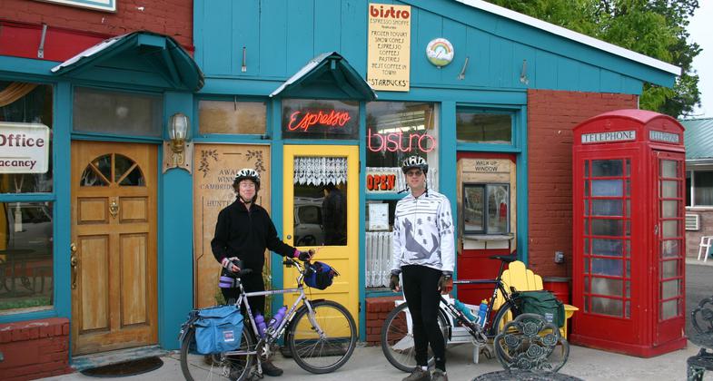
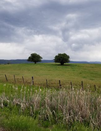
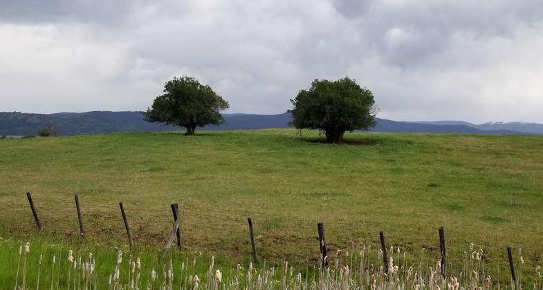
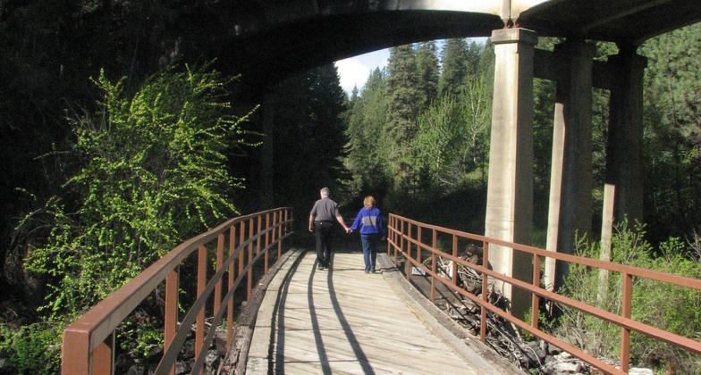
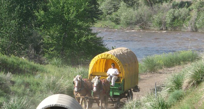
Photo by Friends of the Weiser River.
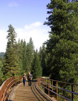
Photo by Friends of the Weiser River.
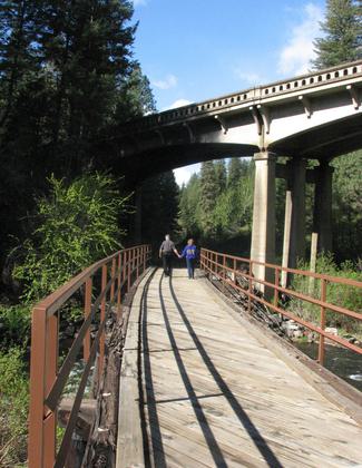
Photo by Friends of the Weiser River.
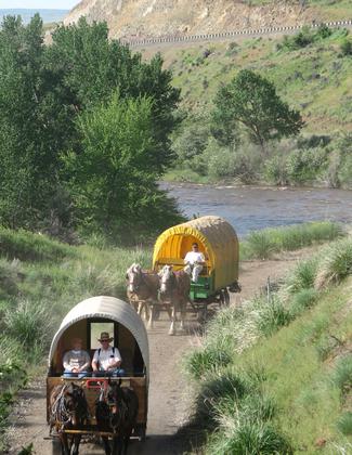
Photo by Friends of the Weiser River.
Bacon Valley. Photo by Friends of the Weiser River.
Location: Beginning at Weiser, Idaho, the trail runs northeasterly along the Weiser River for 85 miles, to the West Pine Trailhead, Follows Weiser River upstream from Weiser to New Meadows.
- States: Idaho
- Counties: Washington, Adams
Beginning on the south side of the City of Weiser, the trail runs northeast for 85 miles up to the West Pine Trailhead, approximately four miles west of New Meadows. Along the trail, you will find every terrain from desert canyons to evergreen forests to alpine meadows. Users will see traditional farmhouses and barns, historical town buildings, a one-room schoolhouse, cabins, trophy homes, and subdivisions. Highlights of the trail are the historic trestles. Some are constructed entirely of wood except for the new steel railings. A few relics of railroad history can still be found along the trail.
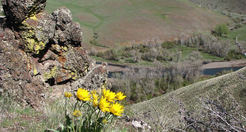
The trail offers a full range of beauty, from colorful wild-flowers in the spring to the reds and yellows of fall leaves, from green grass to brown hillsides, from cottonwoods to pines, and a changing river song from the rush of the spring runoff to the gentle flow of a late summer stream. Wildlife abounds. Deer are commonly seen, as well as chukars, quail, ducks, and geese. Occasionally a trail user will come across an eagle, wild turkeys, blue herons, coyotes, bears, wolves, elk, and possibly a mountain lion. Wild rainbow trout can be found in the adjacent Weiser River.
There are four small communities along the trail that provide services to trail users. Weiser is the largest city and has many restaurants, motels, and stores. Although Midvale is the smallest city trail users will still find a grocery store, cafe, bed and breakfast, and bar. Cambridge and Council both offer motels, RV parks, grocery stores, restaurants, and more.
Accessibility Information
No text provided.
Allowed Uses:
Bicycling Dogs, on leash Equestrian Hiking/Walking Motorized vehicles, snowmobiling Snow, cross-country skiing Snow, snowshoeingOther Activities
- Camping
- Fishing
- Snow, snow play general
Public Contact
Friends of the Weiser River Trail3494 Rush Creek Road
Cambridge, ID 83610
[email protected] • (208) 257-3562
www.weiserrivertrail.org
Contact the trail manager for current maps and visiting details.
More Details
- Elevation (low): 1500
- Elevation (high): 4000
- Elevation (cumulative): --
- Part of a Trail System? No
- Surface (primary): Rock, crushed
- Surfaces (additional): Paved
- Tread Width (average): 120"
- Tread Width (minimum): --
- Running length (minimum): --
- Tread Grade (average, percent): --
- Tread Grade (maximum): 3
- Running length (maximum): --
- Cross-slope (average, percent): --
- Cross-slope (maximum): --
- Running length (maximum): --
- Certified as an NRT
May 2, 2010