Washington Pass Overlook Trail
This information is a public record of the 1978 NRT application and may be out of date if it has not been updated by a trail manager --
check with the trail manager for updated details before visiting.
check with the trail manager for updated details before visiting.
Washington Pass Overlook Trail
USDA Forest Service
Backcountry Trail
- Length
0.2 miles
- Elevation Gain
--
- Route Type
out & back
- Length
0.2 miles - Elevation Gain
-- - Route Type
out & back
Location: At Washington Pass on SR 20 in the Okanogon NF, 30 mi. W of Winthrop.
- States: Washington
- Counties: Okanogan
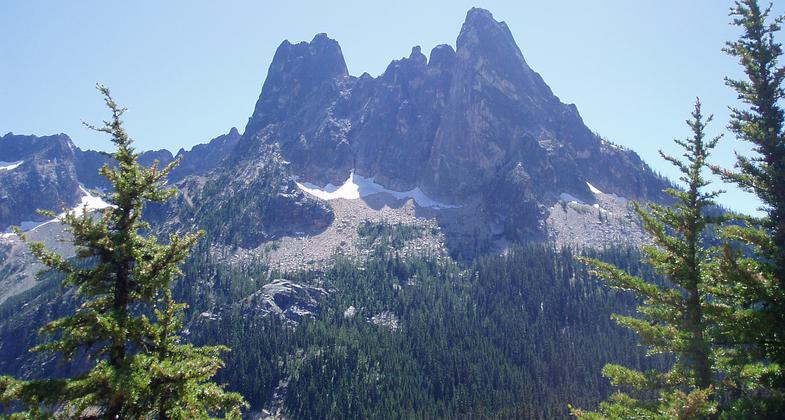
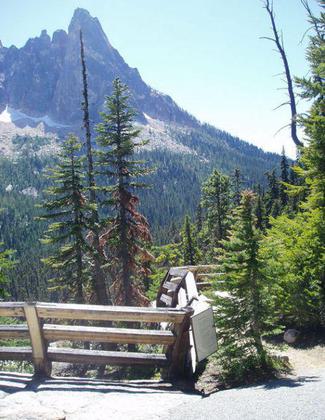
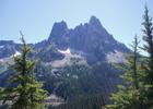
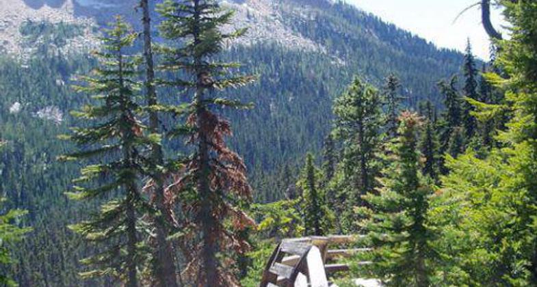
Highest point on North Cascades highway. The short loop trail winds across an outcrop of Goldenhorn granite to an overlook (natural rock platform) perched 700 feet above highway.
Accessibility Information
No text provided.
Allowed Uses:
Dogs, on leash Hiking/WalkingOther Activities
- Camping
Public Contact
Jim HammerOkanogan National Forest
Methow Valley Ranger District
Winthrop, WA 98862
(509) 996-4017
Contact the trail manager for current maps and visiting details.
More Details
- Elevation (low): --
- Elevation (high): --
- Elevation (cumulative): --
- Part of a Trail System? No
- Surface (primary): --
- Surfaces (additional): --
- Tread Width (average): 36"
- Tread Width (minimum): --
- Running length (minimum): --
- Tread Grade (average, percent): --
- Tread Grade (maximum):
- Running length (maximum): --
- Cross-slope (average, percent): --
- Cross-slope (maximum): --
- Running length (maximum): --
- Certified as an NRT
Jul 13, 1978