Susquehanna River Water Trail - North Branch Section
check with the trail manager for updated details before visiting.
Susquehanna River Water Trail - North Branch Section
Nonprofit
Water Trail (other)
- Length
166 miles
- Elevation Gain
--
- Route Type
out & back
- Length
166 miles - Elevation Gain
-- - Route Type
out & back

Location: Sunbury to Pennsylvania / New York border
- States: Pennsylvania
- Counties: Bradford, Susquehanna, Wyoming
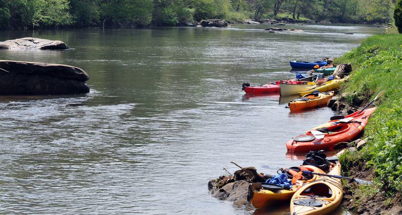
In Pennsylvania, the Susquehanna River Water Trail - North Branch starts with a 15-mile-long paddling journey from Oakland to Great Bend in Susquehanna County. It re-enters the Commonwealth in Bradford County at Sayre and continues 166 miles, ending at Shikellamy State Park in Northumberland / Sunbury at the confluence with the West Branch of the Susquehanna. You will paddle through a region of beautiful meandering river cuts in the Endless Mountains and then through the Wyoming Valley, passing many river towns on your way to the confluence. While following the North Branch Water Trail you can see Native American lookout points, the remnants of a past canal system, and an area that was the hub of the nation's anthracite coal and industrial boom in the 1800s. Eagles commonly soar high along the rock cuts. Peregrine falcons can be found nesting under a bridge in the Wyoming Valley. Whitetail deer, beaver, river otters, and great blue herons are seen along the river banks, and the water abounds with smallmouth bass and other game fish.
Accessibility Information
No text provided.
Allowed Uses:
Boating, human-poweredPublic Contact
Susquehanna Greenway Partnership (SGP)Lewisburg, PA
[email protected] • (570) 478-0178
usquehannagreenway.org
More Details
- Elevation (low): --
- Elevation (high): --
- Elevation (cumulative): --
- Part of a Trail System? No
- National Designations: American Canoe Association Recommended Water Trail
- State Designations: Pennsylvania Water Trail System
- Surface (primary): Boardwalk
- Surfaces (additional): --
- Tread Width (average): 0"
- Tread Width (minimum): --
- Running length (minimum): --
- Tread Grade (average, percent): --
- Tread Grade (maximum):
- Running length (maximum): --
- Cross-slope (average, percent): --
- Cross-slope (maximum): --
- Running length (maximum): --
- Certified as an NRT
May 25, 2009