
South Mountain Park Trails
check with the trail manager for updated details before visiting.
South Mountain Park Trails
City, Town, or County
Frontcountry Trail
- Length
14 miles
- Elevation Gain
--
- Route Type
out & back
- Length
14 miles - Elevation Gain
-- - Route Type
out & back
South Mountain Park in Phoenix, Arizona. Photo by Monique Dinkel/wiki.

Overlooking Ahwatukee foothills, with Estrella Mountain in the distance.

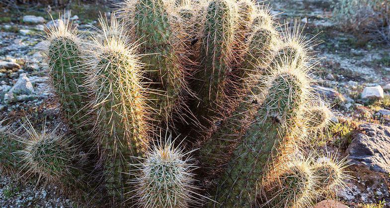
Barrel cacti

New Ranger Office. Photo by Dan Gronseth.

Petroglyphs in South Mountain Park, Phoenix, Arizona. Photo by Brandon Wiggins/wiki.

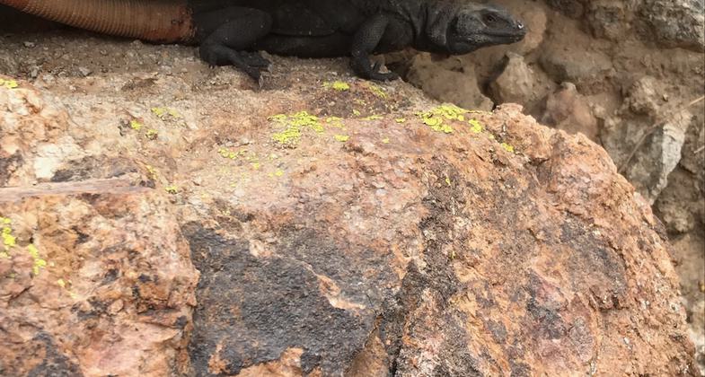
Chuckwalla. Photo by GIL Soto.

Location: Ridgeline trail of South Mountain Park, c. 10 miles S of downtown Phoenix.
- States: Arizona
South Mountain Park is one of the largest contiguous city parks in the US. The 15.5 mile long National Trail, named for the National Recreation Trail status awarded to the trail in 1971, traverses the park from east to west along its major ridgelines. Beginning at Pima Canyon Trail, National takes you along a CCC era dirt road and ascends the eastern slopes of the mountain until it reaches the famous Hidden Valley where the "Fat Man's Pass" and "Natural Tunnel" landmarks are located. About halfway through the trail, you will be under South Mountain's iconic TV towers and at the highest point along the trail. Next you will be brought through Telegraph Pass, a famous saddle bisecting South Mountain Park. Telegraph, Gila, and Ranger Trail junctions will pass you by as you enter the western half of National, a long, lonely section which was originally a mining trail, complete with old mineshafts. Finally you will descend the western ridgelines of the Gila Range and reach the San Juan road crossing, a road which is only accessible to the public on the first full weekend of every month. From there, the trail has a mild climb to the historic San Juan Lookout near the western edge of the park.
Accessibility Information
No text provided.
Allowed Uses:
Hiking/WalkingPublic Contact
Donald DomannPhoenix Parks and Recreation Department
Natural Resources Division
10919 S Central Ave
Phoenix, AZ 85042
[email protected] • (602) 495-5812
Contact the trail manager for current maps and visiting details.
More Details
- Elevation (low): --
- Elevation (high): --
- Elevation (cumulative): --
- Part of a Trail System? No
- Surface (primary): --
- Surfaces (additional): --
- Tread Width (average): 0"
- Tread Width (minimum): --
- Running length (minimum): --
- Tread Grade (average, percent): --
- Tread Grade (maximum):
- Running length (maximum): --
- Cross-slope (average, percent): --
- Cross-slope (maximum): --
- Running length (maximum): --
- Certified as an NRT
Jun 1, 1971