Sarah Zigler Interpretive Trail
check with the trail manager for updated details before visiting.
Sarah Zigler Interpretive Trail
City, Town, or County
Backcountry Trail
Frontcountry Trail
Urban Trail
- Length
1 mile
- Elevation Gain
--
- Route Type
Loop
- Length
1 mile - Elevation Gain
-- - Route Type
Loop
The Sarah Zigler Interpretive Trail beings in the historic Peter Britt Garden and follows an 1860 water ditch formerly used by Pioneer Peter Britt to water his world-famous gardens and Oregon's oldest Sequoia tree. The trail follows Jackson Creek, the site of Jacksonville's 1852 gold rush. The north-facing hillside supports a diverse collection of native plants, including the rare and endangered Gentner's Fritillaria. The complete circle is 2.5 miles.
New NRT signs on the trail!. Photo by Larry Smith.

K9 King Ret.
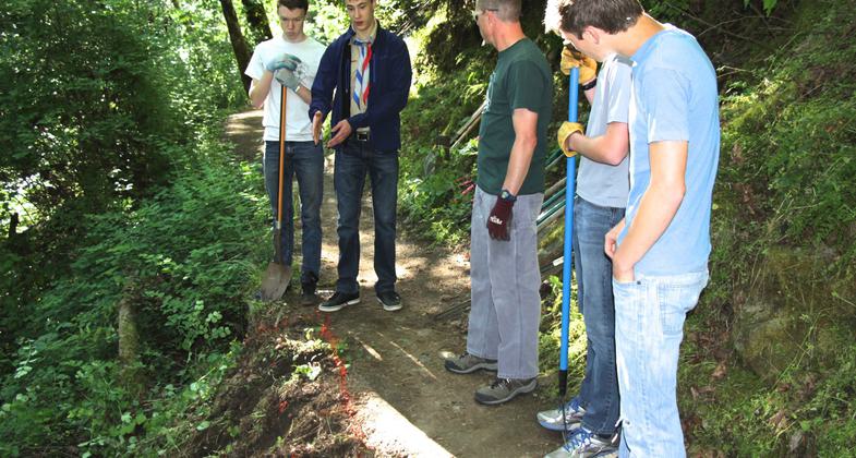
Eagle Scout project on the trail. Photo by Larry B. Smith.
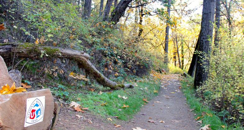
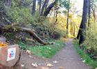
New NRT signs on the trail!.
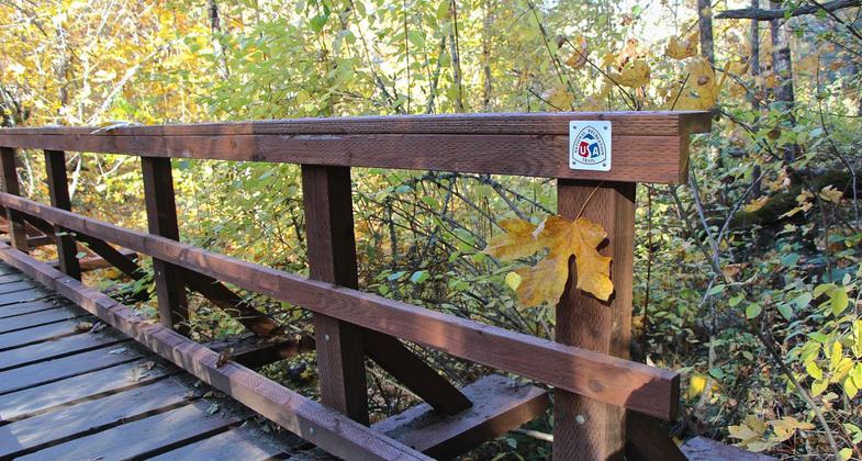
New NRT signs on the trail!. Photo by Larry Smith.
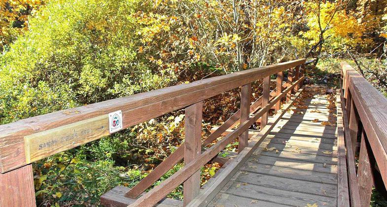
New NRT signs on the trail!. Photo by Larry Smith.

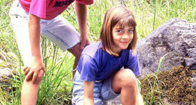
Panning for gold along the Sara Zigler Trail where Gold was first discovered in 1851. Photo by Larry B. Smith.
Larry Smith, himself a twin, posing with sixth grade twins in front of Jacksonville's oldest and largest Madrone Tree. Photo by Larry B. Smith.
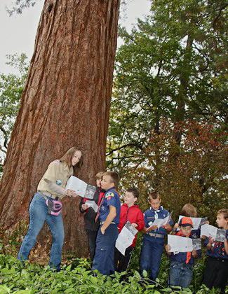
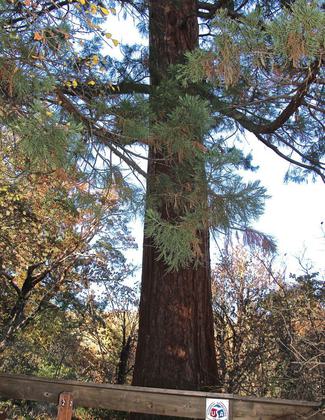
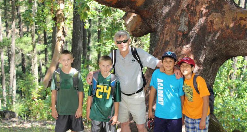
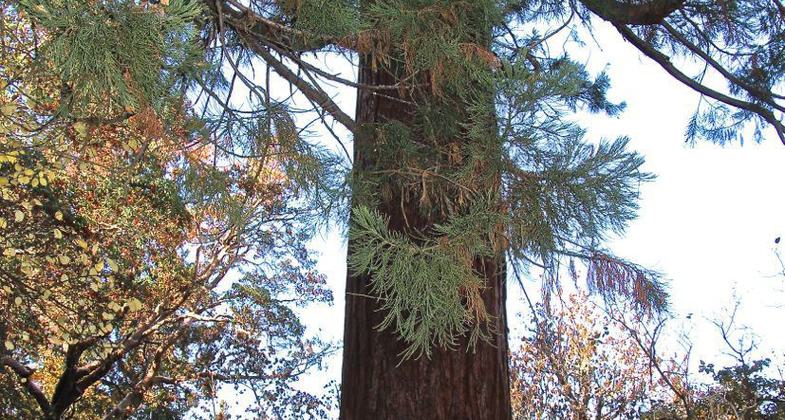
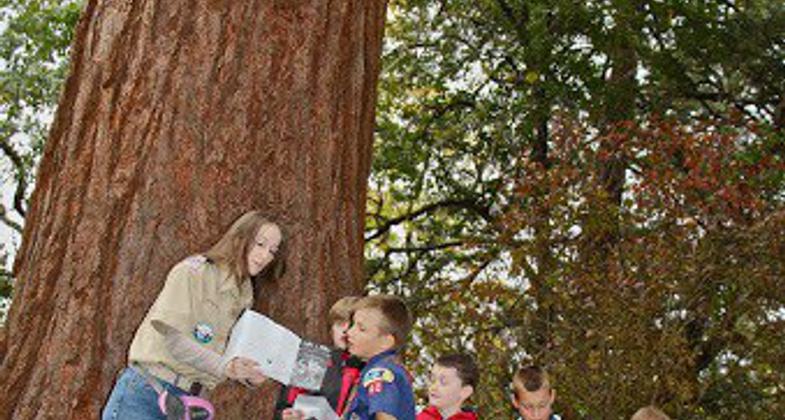
Cub Scouts learning about Oregon's oldest Sequoia - The Britt Sequoia - an Oregon Heritage Tree - planted 1862. Photo by Larry B. Smith.
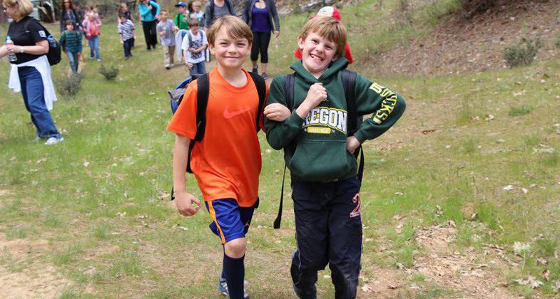
3rd graders immensely enjoying themselves while out trail hiking. Photo by Larry B. Smith.

Location: Begins one block from the downtown district of the National Landmark City of Jacksonville, OR; located in SW Oregon, 20 miles north of the California border, 5 miles west of I-5 and the urban center of the Rogue River Valley, Medford
- States: Oregon
- Counties: Jackson
- Cities/Townships: Fully within the historic town of Jacksonville, Oregon
The Sarah Zigler Interpretive Trail begins in the historic Peter Britt Gardens, where Peter Britt settled in 1852, built his home, and planted gardens that were the foundation of the area's multi-million dollar fruit industry.
From here the trail passes by the famous Britt Sequoia (1862) which many regard as the oldest Sequoia tree in Oregon. The trail then climbs up to the Britt Water Ditch, following the lush creekside beauty of Jackson Creek and The Zigler Woods. It was here that gold was first discovered in 1851, which prompted the famous Jacksonville Gold Rush of 1852.
For the next mile, the trail traces through various forest types and alongside old mine tailings. Crossing Jackson Creek the trail climbs through a transitional forest of Ponderosa Pine, Douglas fir, Big Leaf Maple, and Madrone, to the top of a dry ridge consisting mostly of small Oregon White Oak. Views are also enjoyed of the Siskiyou and Cascade Mountains.
From the forested ridge line, hikers are able to explore many side trails to "glory holes" and old gold mine diggings. The face of the forest begins to change once more as the trail loops back toward its beginning in Britt Park. Entering Britt Park hikers are able to enjoy the lush coolness of the groomed park grounds as they pass the Britt Pavilion, the site of the Britt Music Festivals. Following the down-sloping path returns hikers to where they started - at the fieldstone foundation of the old Britt home.
Accessibility Information
No text provided.
Allowed Uses:
Bicycling Dogs, on leash Hiking/WalkingOther Activities
- Heritage and history
- Wildlife viewing / observation
Public Contact
Public Works/ParksCity of Jacksonville
P.O. Box 7
Jacksonville, OR 97530
[email protected] • (541) 899-1231
www.jacksonvilleor.u
Contact the trail manager for current maps and visiting details.
More Details
- Elevation (low): 1628
- Elevation (high): 1686
- Elevation (cumulative): --
- Part of a Trail System? No
- State Designations: The Britt Sequoia is an Oregon Heritage Tree
- Surface (primary): Soil
- Surfaces (additional): Rock, crushed
- Tread Width (average): 36"
- Tread Width (minimum): 30
- Running length (minimum): --
- Tread Grade (average, percent): 1
- Tread Grade (maximum): 8
- Running length (maximum): --
- Cross-slope (average, percent): 40
- Cross-slope (maximum): --
- Running length (maximum): --
- Certified as an NRT
Apr 13, 2000