Rankin Ridge
This information is a public record of the 1982 NRT application and may be out of date if it has not been updated by a trail manager --
check with the trail manager for updated details before visiting.
check with the trail manager for updated details before visiting.
Rankin Ridge
National Park Service
Backcountry Trail
- Length
1 mile
- Elevation Gain
--
- Route Type
out & back
(1 review)
- Length
1 mile - Elevation Gain
-- - Route Type
out & back
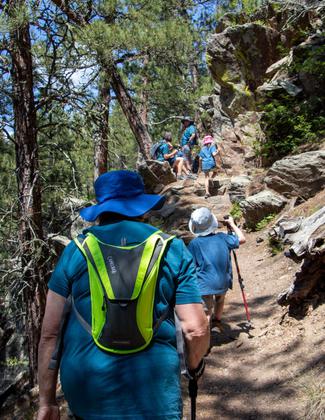
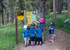
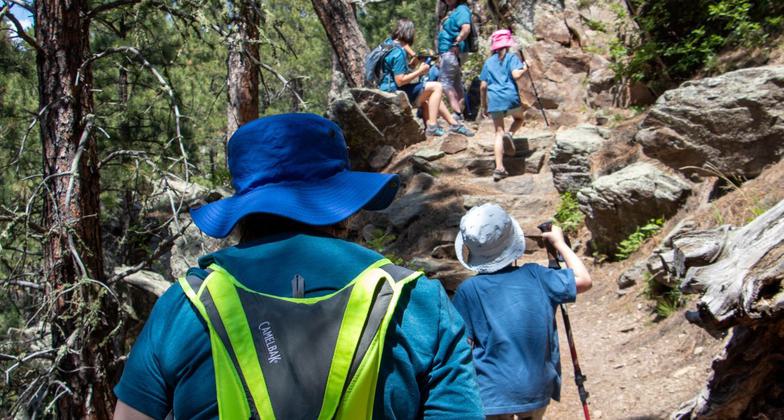
2023 Photo Contest Winner: Youth and Volunteers. Photo by Jonathan Voelz
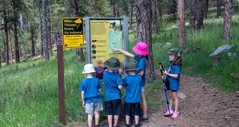
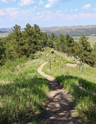
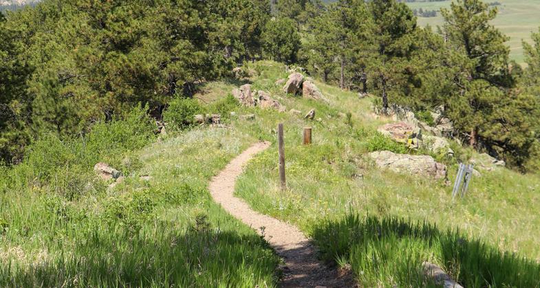
Rankin Trail - Wind Cave National Park. Photo by Jonathan Voelz.
Rankin Trail - Wind Cave National Park. Photo by Jonathan Voelz.
Rankin Trail - Wind Cave National Park. Photo by Jonathan Voelz.
Rankin Trail - Wind Cave National Park. Photo by Jonathan Voelz.
Rankin Trail - Wind Cave National Park. Photo by Jonathan Voelz.
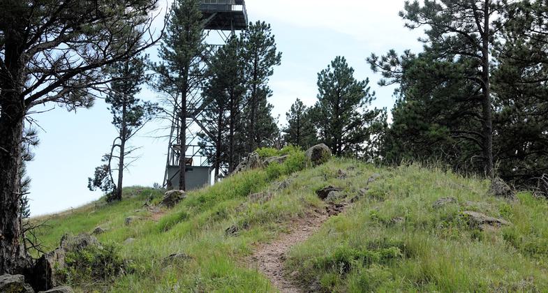
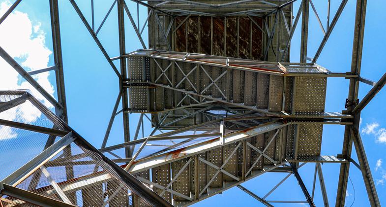
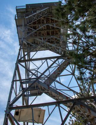
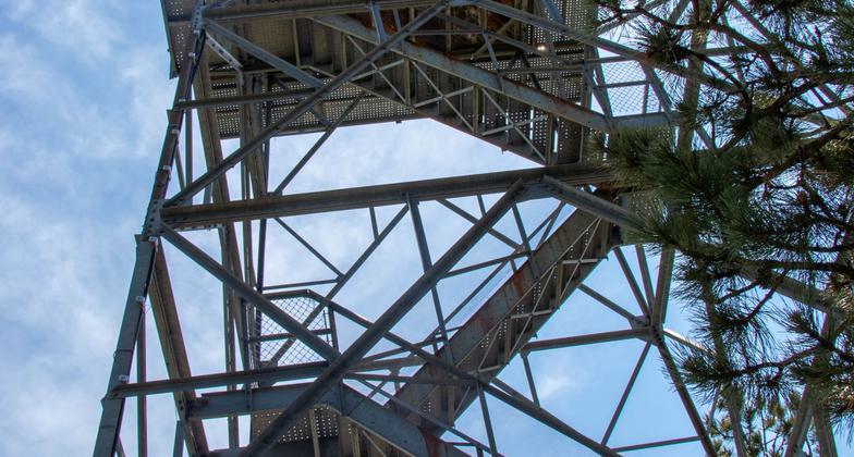
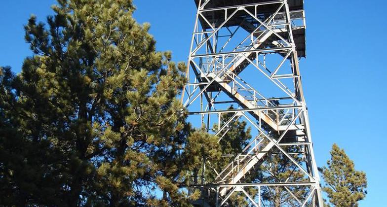
Rankin Ridge - Fire tower - 7-16-18. Photo by Jim Walla.
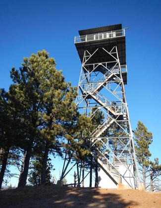
Rankin Ridge Fire Tower. Photo by NPS.
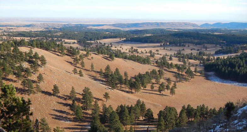
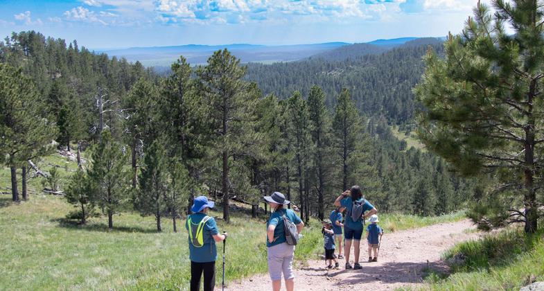
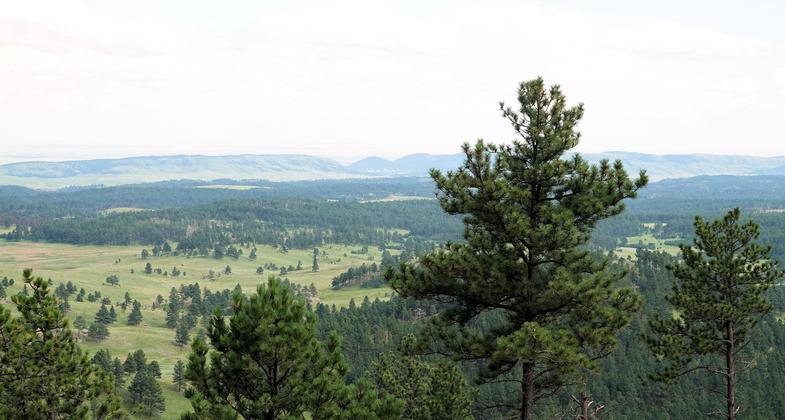
View from Rankin Ridge fire tower. Photo by NPS.
Rankin Ridge - View from fire tower - 7-16-18. Photo by Jim Walla.
Location: At Wind Cave Nat. Park on US 385 between Hot Springs and Pringle.
- States: South Dakota
- Counties: Custer
Climbs through ponderosa pine forest to Rankin Ridge Fire Tower which offers 360 panoramic view of Black Hills and surrounding plains. Self guiding booklets available.
Accessibility Information
No text provided.
Reviews
Jim Walla
Rankin Ridge - 7-16-18
Rankin Ridge is a short, well groomed loop trail at Wind Cave National Park. The trail climbs up to a ridge with a fire tower. The climb is pretty easy, maybe 300 feet in 1/2 mile. The views are nice, especially from the ridge (the fire tower is not open for access). I suspect these views are as good as it gets in this area.
Allowed Uses:
Hiking/WalkingPublic Contact
Jim TaylorWind Cave National Park
RR1, Box 190
Hot Springs, SD 57747
(605) 745-4600
Contact the trail manager for current maps and visiting details.
More Details
- Elevation (low): --
- Elevation (high): --
- Elevation (cumulative): --
- Part of a Trail System? No
- Surface (primary): --
- Surfaces (additional): --
- Tread Width (average): 36"
- Tread Width (minimum): --
- Running length (minimum): --
- Tread Grade (average, percent): --
- Tread Grade (maximum):
- Running length (maximum): --
- Cross-slope (average, percent): --
- Cross-slope (maximum): --
- Running length (maximum): --
- Certified as an NRT
Apr 12, 1982