North Ridge Trail
check with the trail manager for updated details before visiting.
North Ridge Trail
City, Town, or County
Backcountry Trail
- Length
7.7 miles
- Elevation Gain
--
- Route Type
out & back
(1 review)
- Length
7.7 miles - Elevation Gain
-- - Route Type
out & back
The North Ridge Trail is one of the first to be designated a National Recreation Trail under the 1971 National Trails Act.
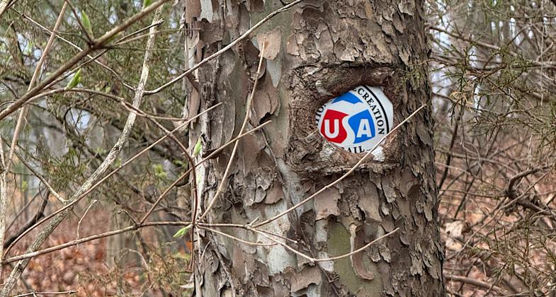
Nom nom. Photo by Patricia Ellis

Nom nom

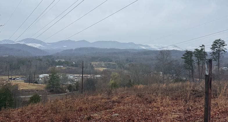
View from electric tower area

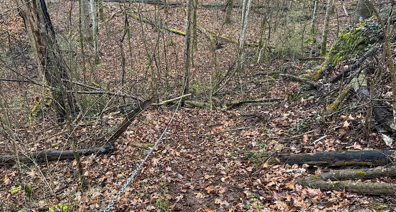
Steep bit with chain


Location: Oak Ridge
- States: Tennessee
- Counties: Anderson
The North Ridge Trail is one of the first to be designated a National Recreation Trail under the 1971 National Trails Act. It is located in the northernmost greenbelt of Oak Ridge, Tennessee.
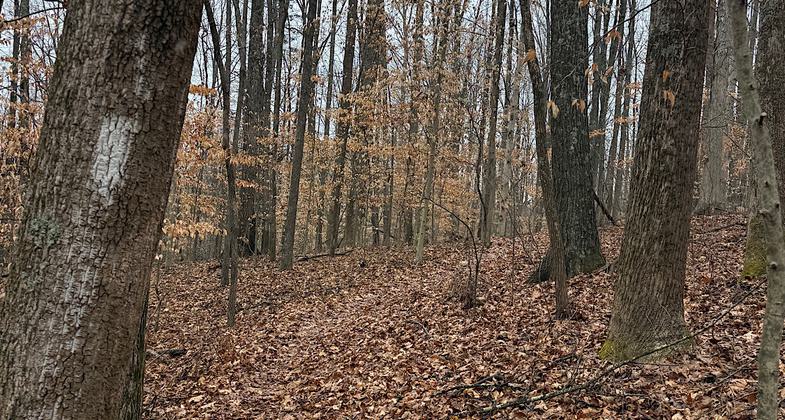
The main, linear (though far from straight) trail is approximately 7.7 miles long, with 10 trailheads. In addition to the main trail and connecting with it, there is also a 2-mile Delaware Trail loop and a shorter trail bisecting the loop in the widest part of the northern greenbelt. The Delaware Trail loop is short enough to provide a lovely outing after work, and its route exemplifies the variety of scenery found in the longer, linear trail. Winding through deciduous forests, it drops down to a spring-fed creek and returns up a narrow valley filled with mountain laurel, passing interesting rock ledges and a sinkhole. The main linear trail is blazed white, access trails are blazed blue, the circular Delaware Trail is blazed in red, the bisecting trail is blazed yellow and the main linear trail is white.
Accessibility Information
No text provided.
Reviews
Patricia Ellis
It’s a mini Appalachian Trail
Hiked on March 2, 2026. I thru-hiked the Appalachian Trail last year, and this trail is just like the AT. You are always going either up or down. Up down up down up down, 7.7 miles with 1900 feet of elevation gain and a similar amount of elevation loss. Woods, white blazes. If one wanted to train for the AT, I’d recommend doing this as an out-and-back for 15.4 total miles and 3800 feet of elevation gain/loss.
Allowed Uses:
Dogs, on leash Hiking/WalkingOther Activities
- Wildlife viewing / observation
Public Contact
Hon HetrickCity of Oak Ridge
P.O Box 1
Oak Ridge, TN 37831
[email protected] • (865) 425-3450
Contact the trail manager for current maps and visiting details.
More Details
- Elevation (low): --
- Elevation (high): --
- Elevation (cumulative): --
- Part of a Trail System? No
- Surface (primary): Soil
- Surfaces (additional): Soil
- Tread Width (average): 32"
- Tread Width (minimum): --
- Running length (minimum): --
- Tread Grade (average, percent): --
- Tread Grade (maximum):
- Running length (maximum): --
- Cross-slope (average, percent): --
- Cross-slope (maximum): --
- Running length (maximum): --
- Certified as an NRT
Feb 28, 1973