Mount Rogers
check with the trail manager for updated details before visiting.
Mount Rogers
USDA Forest Service
Backcountry Trail
- Length
4.5 miles
- Elevation Gain
--
- Route Type
out & back
(1 review)
- Length
4.5 miles - Elevation Gain
-- - Route Type
out & back
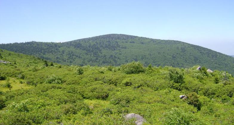


Location: At Mt. Rogers National Recreation Area, south of Chilhowie.
- States: Virginia
- Counties: Grayson
The summit is located in Grayson and Smyth Counties; the most popular route to the highest point in VA is from Massie Gap inside Grayson Highlands State Park, 9 miles round trip; from Elk Garden Trailhead, 9 miles round trip; from the Mount Rogers Trailhead near Grindstone, 13 miles round trip; these access points are in Grayson County.
Accessibility Information
No text provided.
Reviews
Patricia Ellis
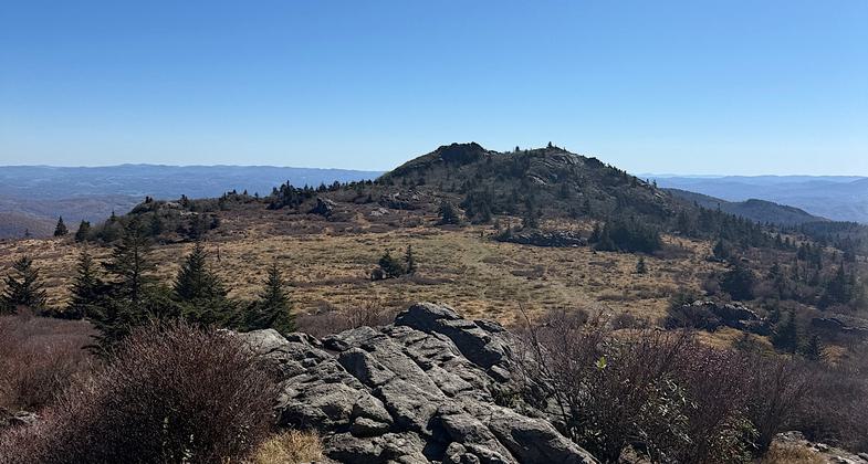
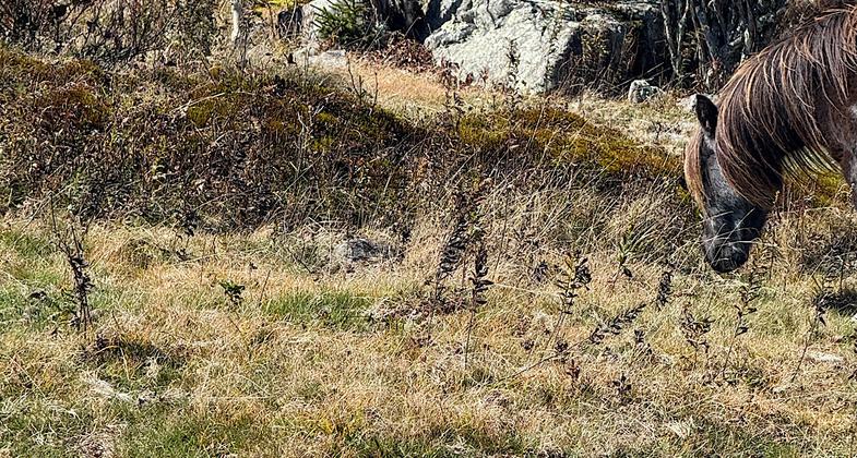
Go during great weather. Views! Ponies!
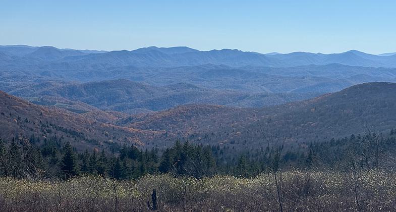
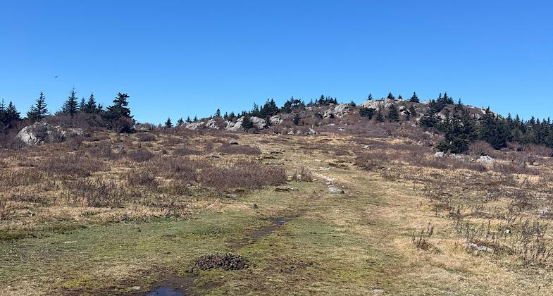
I did this as part of my Appalachian thru-hike. Hiked through here on October 20, 2025.
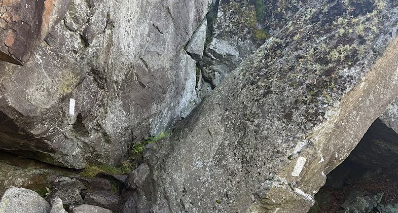
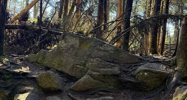
Trails are well-maintained. Go when the forecast is pleasant as you will be completely exposed to the elements. Stellar views. Summit of Mt.Rogers itself is in the trees. Rare never-logged Fraser firs. Gorgeous hike, make a day of it.
Allowed Uses:
Hiking/WalkingPublic Contact
Mt. Rogers National Recreation Area3714 Highway 16
Marion, VA 24354
(540) 783-5196
Contact the trail manager for current maps and visiting details.
More Details
- Elevation (low): --
- Elevation (high): --
- Elevation (cumulative): --
- Part of a Trail System? No
- Surface (primary): --
- Surfaces (additional): --
- Tread Width (average): 0"
- Tread Width (minimum): --
- Running length (minimum): --
- Tread Grade (average, percent): --
- Tread Grade (maximum):
- Running length (maximum): --
- Cross-slope (average, percent): --
- Cross-slope (maximum): --
- Running length (maximum): --
- Certified as an NRT
Jun 28, 1979