Moab Brands (Bar M)
check with the trail manager for updated details before visiting.
Moab Brands (Bar M)
Bureau of Land Management
Backcountry Trail
- Length
31 miles
- Elevation Gain
--
- Route Type
Loop
- Length
31 miles - Elevation Gain
-- - Route Type
Loop
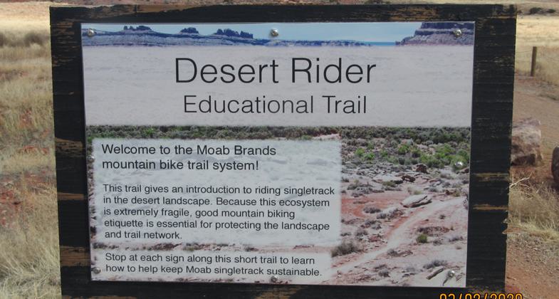
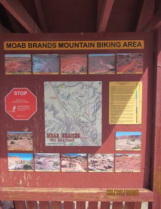
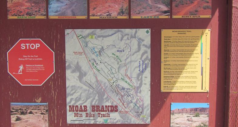
Trail is a system of eighteen multiple interconnecting mountain bike trails totaling over 31 miles, for riders of all abilities. Trails range from easy slickrock to challenging steep terrain. All the trails offer great views of the Moab area's iconic landscape.
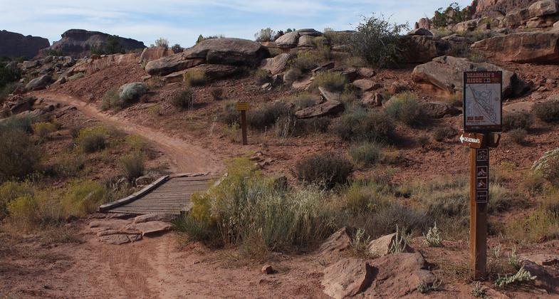
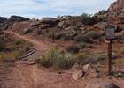
Deadman Ridge trail (Moab Brands trail system). Photo by Bill Stevens
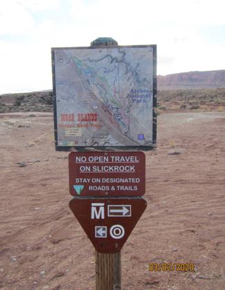
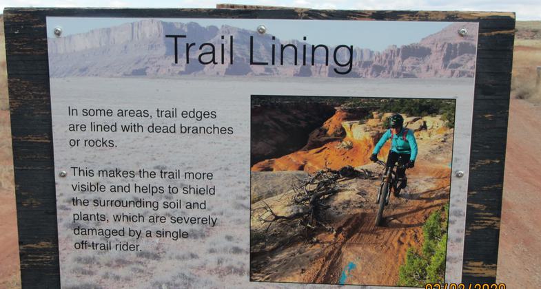
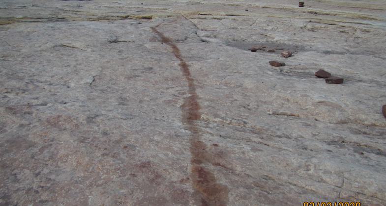
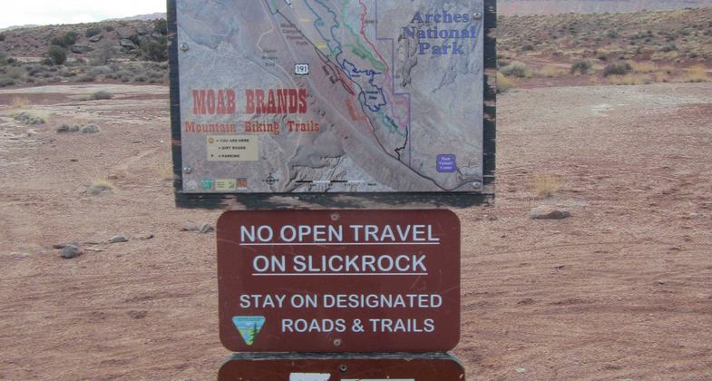
caution to follow marking on slickrock
visible to all riders
visible to all riders
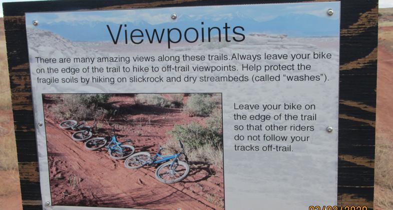
visible to all riders
visible to all riders
visible to all riders
visible to all riders
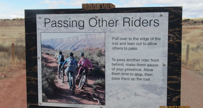
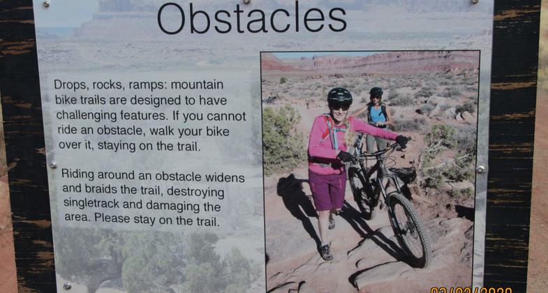
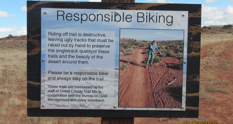
Like the trail etiquette signs in this section, visible to all riders
When worn, will be replaced with staggered striping (as is the case on all our newer trails
Location: East off US 191 8 miles north of Moab, Utah
- States: Utah
- Counties: Grand
- Cities/Townships: none
Moab Utah is considered by many to be the mountain biking capital of the world. The Moab Brands (Bar M) system was one of the first non-motorized trail systems constructed as a result of decisions made in the 2008 Moab BLM management plan. Starting as one trail (Bar M), it has gradually expanded into an interlocking system of 18 trails. All the trails are well-marked with mileage and levels of difficulty; all intersections are signed with "you are here" labels. There are great views of Arches National Park, the Moab red rock country, and the LaSal Mountains. Trail difficulty ranges from a children's enclosed play and practice area ("OK Corral") to trails that challenge the most experienced riders. There are trails suitable for novice riders (with appropriate names like "Lazy" and "EZ"). There are also much more advanced trails, with names like "Deadman Ridge" and "Killer B". The numerous trail connections allow for a relatively short ride or an all-day experience.
The trailhead parking area can accommodate a very large number of vehicles, has restroom facilities, and even a repair rack with tools. The trailhead is easily accessible from Moab, which hosts a wide variety of tourist facilities. The Moab Brands (Bar M) system is connected by a mountain bike trail to the Klonzo trail system, which offers many additional miles of outstanding biking. Additionally, a paved non-motorized trail leads from the Bar M area back (downhill) to Moab.
The system itself was contracted by and is currently maintained by Moab Trailmix, a collaborative effort between BLM and Grand County, Utah. Trailmix consists of several full-time County employees and also utilizes large numbers of volunteers. Trails are constructed and signed to the highest standards. BLM maintains trail counters to monitor the level of usage. With the exception of special events such as mountain bike races, the Bar M system, and related facilities have been able to accommodate the current level of visitor use. The large number of mountain bike trail systems under BLM management (totaling over 200 miles of trail) helps ensure that no one area becomes overwhelmed.
Accessibility Information
No text provided.
Allowed Uses:
Bicycling Dogs, on leash Hiking/WalkingPublic Contact
Bill StevensUS Bureau of Land Mangement
82 E Dogwood
Moab, UT 84532
[email protected] • (435) 259-2101
Contact the trail manager for current maps and visiting details.
More Details
- Elevation (low): 4222
- Elevation (high): 4821
- Elevation (cumulative): --
- Part of a Trail System? No
- Surface (primary): Soil
- Surfaces (additional): Rock, smooth, Sand
- Tread Width (average): 24"
- Tread Width (minimum): 24
- Running length (minimum): --
- Tread Grade (average, percent): 5
- Tread Grade (maximum): 30
- Running length (maximum): --
- Cross-slope (average, percent): 0
- Cross-slope (maximum): --
- Running length (maximum): --
- Certified as an NRT
Oct 23, 2020