Heritage Trail
check with the trail manager for updated details before visiting.
Heritage Trail
City, Town, or County
Rail Trail
- Length
25.7 miles
- Elevation Gain
--
- Route Type
out & back
- Length
25.7 miles - Elevation Gain
-- - Route Type
out & back
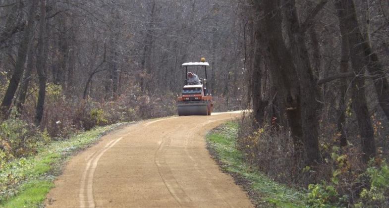
The trail gets a 6 mile new limestone surface every year. Photo by Heritage Trail Dubuque.

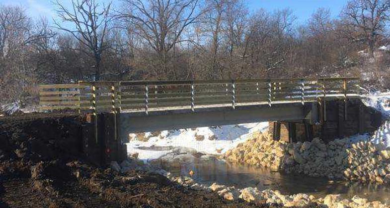
Bridge 29 finished!. Photo by Heritage Trail Dubuque.

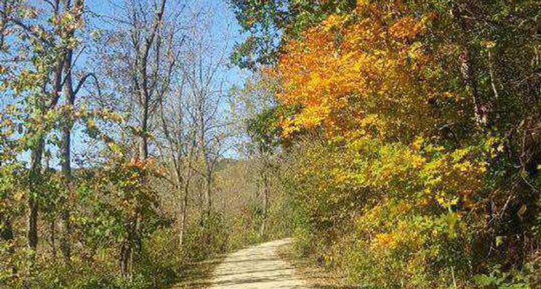
A beautiful December day. Photo by Heritage Trail Dubuque.

Heritage Trail after downed tree clearing. Photo by Heritage Trail Duboque.
Location: Connects Dubuque and Dyersville, Iowa
- States: Iowa
- Counties: Dubuque
An abandoned railway and remnants of the old line still remain on the trail and in the small towns. There is a collection of Indian Burial grounds along the trail and many geological sites, one significant one for the fossil Nautiloid Cephalopods.
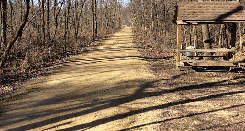
It is maintained by the Dubuque County Conservation Board and was converted from a segment of the former Chicago Great Western railroad line between Chicago and Oelwein, Iowa. Surfaced with compacted, crushed limestone and possessing no grade greater than one percent, the trail is shared by cyclists and hikers, and in winter by snowmobilers and cross-country skiers. No horses or unleashed dogs are permitted. Trail hours are sunrise to sunset unless otherwise posted.
Repairs to the trail, following damage from flooding in 2008, are ongoing.
Accessibility Information
No text provided.
Allowed Uses:
No data provided.
Other Activities
- Fishing
- Snow, snow play general
- Wildlife viewing / observation
Public Contact
Robert J. WaltonDubuque County Conservation Board
13768 Swiss Valley Rd.
Peosta, IA 52068
(319) 556-6745
Contact the trail manager for current maps and visiting details.
More Details
- Elevation (low): --
- Elevation (high): --
- Elevation (cumulative): --
- Part of a Trail System? No
- Surface (primary): Rock, crushed
- Surfaces (additional): --
- Tread Width (average): 120"
- Tread Width (minimum): --
- Running length (minimum): --
- Tread Grade (average, percent): --
- Tread Grade (maximum):
- Running length (maximum): --
- Cross-slope (average, percent): --
- Cross-slope (maximum): --
- Running length (maximum): --
- Certified as an NRT
May 26, 1985