Harriman Long Path
check with the trail manager for updated details before visiting.
Harriman Long Path
Nonprofit
- Length
16 miles
- Elevation Gain
--
- Route Type
out & back
(1 review)
- Length
16 miles - Elevation Gain
-- - Route Type
out & back


Location: Spine trail linking Harriman and Bear Mountain State Parks, roughly parallel to NY Thruway
- States: New York
- Counties: Ulster
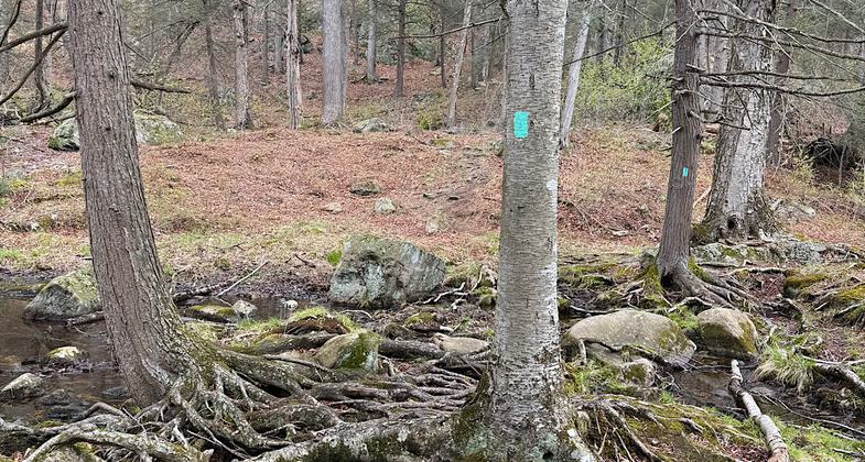
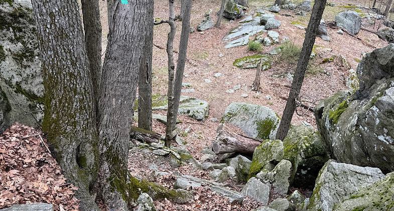
From the kiosk, follow the aqua-blazed Long Path, which heads north into the woods. In 0.3 miles, after a short descent, you'll reach a junction. Here, the red-square-on-white Popolopen Gorge Trail begins to the right, but you should bear left to continue on the Long Path, which begins a gradual climb. Soon, the trail bears right and climbs more steeply. As it approaches the 1,155-foot summit, the grade moderates.
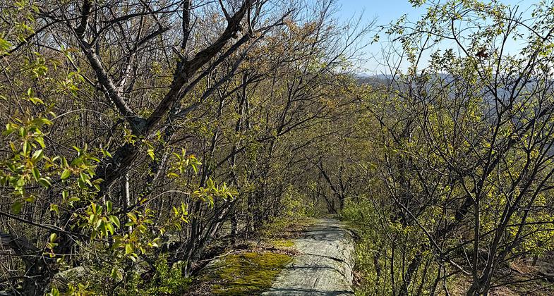
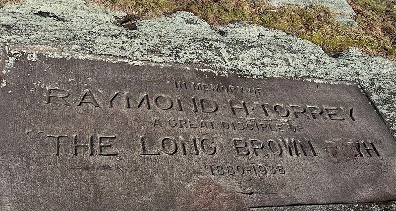
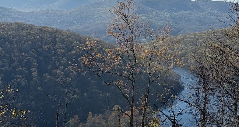
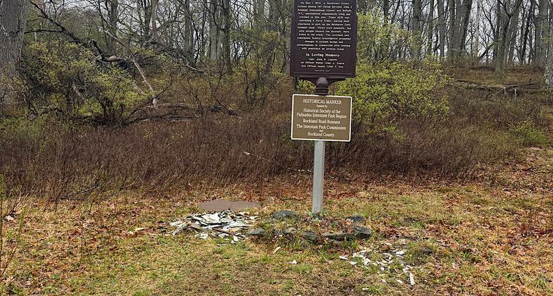
Chiseled into the rock on the summit is a memorial to Raymond H. Torrey, who served as President of the New York-New Jersey Trail Conference from 1931 until his death in 1938. It was Torrey who scouted this trail section in 1922. The summit affords a panoramic east-facing view, with Turkey Hill Lake below and Bear Mountain (with the Perkins Memorial Tower on its summit) beyond.
After taking in the magnificent view, continue ahead on the Long Path. From the northern end of the summit ridge, there is a broad view to the north over the hills in the West Point Military Reservation, with the rocky Popolopen Torne visible to the right (north of Bear Mountain). The Long Path now bears left and descends steadily on switchbacks.
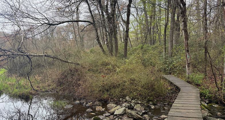
At the base of the descent - just before the crossing of Deep Hollow Brook - turn left onto an unmarked woods road. This road, known as the Deep Hollow Road, was constructed by the Civilian Conservation Corps in 1934. The CCC workers laid a base of broken stone, but never completed the road by overlaying it with a layer of gravel. Head south on Deep Hollow Road, which briefly parallels the brook, then begins a gradual climb.
In half a mile, you'll reach the junction of the Long Path with the Popolopen Gorge Trail at the base of Long Mountain. Turn right and retrace your steps along the Long Path to the parking area where the hike began.
Accessibility Information
No text provided.
Reviews
Patricia Ellis
Well-maintained and rugged trail through the state park
Hiked April 22 and 23, 2026. The written description of the trail is only a tiny portion of the designated section. The NRT is the Long Path all the way through Harriman State Park (16-20 miles). You can form loops with other trails, do some out-and-backs, or splurge for an Uber if you are fit, feeling energetic, and hiking solo (and therefore don’t have a second vehicle). This is a well-maintained and popular trail, though if you hike mid-week you might not see anyone. Rugged. Mostly woods walking but with some views here and there on ridges. Rocky footing. Some nice shelters/campsites. Trail map is available on Harriman State Park’s website.
Allowed Uses:
Hiking/WalkingOther Activities
- Camping
Public Contact
Joanne DolanNew York/New Jersey Trail Conference
232 Madison Ave. Ste. 401
New York, NY 10016
[email protected] • (212) 685-9699
Contact the trail manager for current maps and visiting details.
More Details
- Elevation (low): --
- Elevation (high): --
- Elevation (cumulative): --
- Part of a Trail System? No
- Surface (primary): --
- Surfaces (additional): --
- Tread Width (average): 0"
- Tread Width (minimum): --
- Running length (minimum): --
- Tread Grade (average, percent): --
- Tread Grade (maximum):
- Running length (maximum): --
- Cross-slope (average, percent): --
- Cross-slope (maximum): --
- Running length (maximum): --
- Certified as an NRT
Jun 1, 1971