Green and Nolin Rivers Blueway
check with the trail manager for updated details before visiting.
Green and Nolin Rivers Blueway
National Park Service
National Water Trail
- Length
36 miles
- Elevation Gain
--
- Route Type
out & back
- Length
36 miles - Elevation Gain
-- - Route Type
out & back
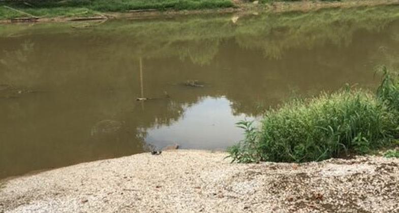
The Green and Nolin Rivers Blueway is located in south-central Kentucky. It includes 29 miles of the Green River and 7 miles of the Nolin.
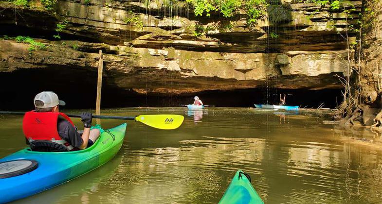
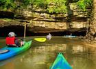
Paddlers on the Green & Nolin Rivers Blueway. Photo by Ashley Decker
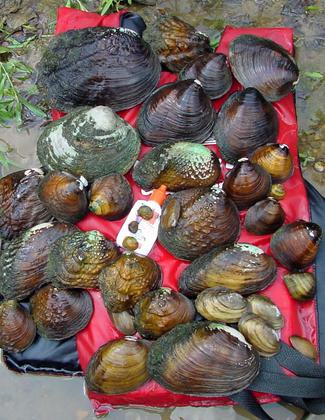
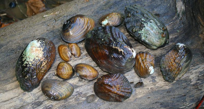
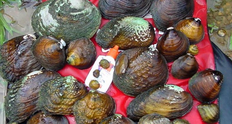
Freshwater mussel in the Green River
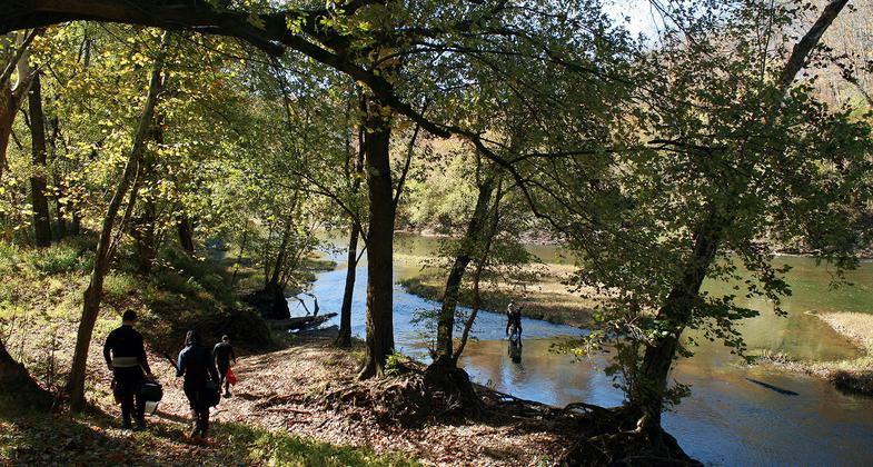
Mussel release
Mussel relocation
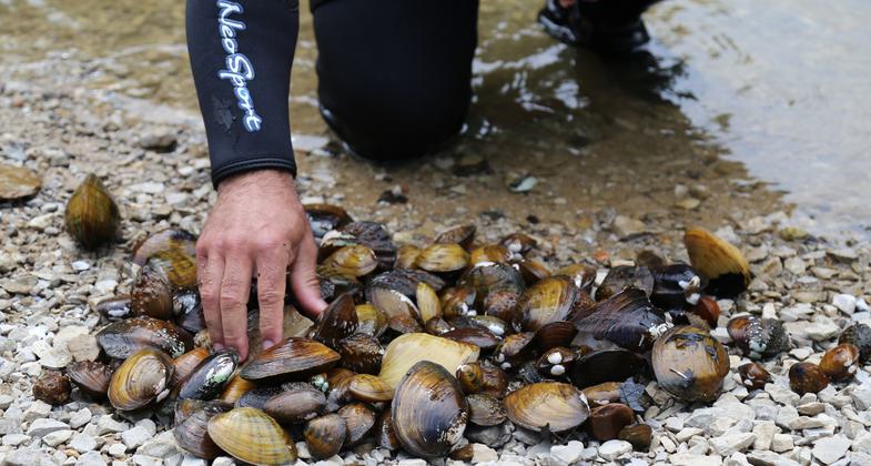
Mussel collection
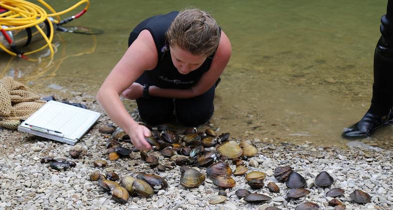
Mussel sorting
Mussel survey
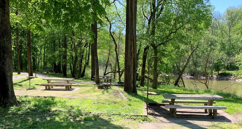
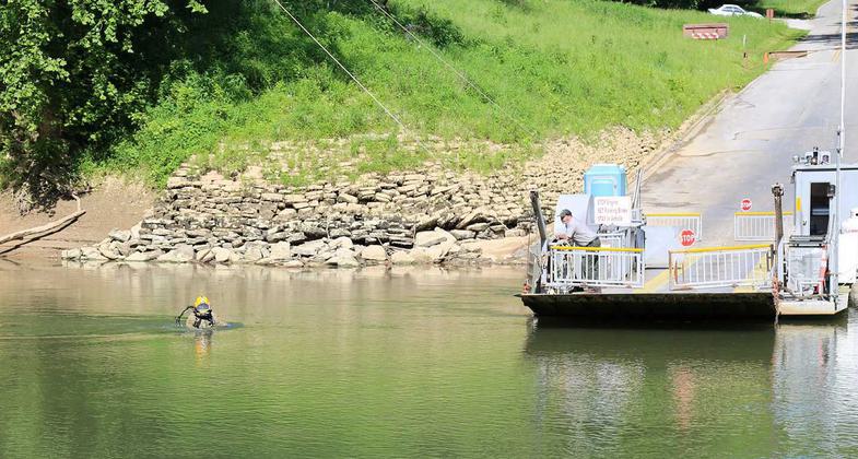
Houchin Ferry Campground on the Green River
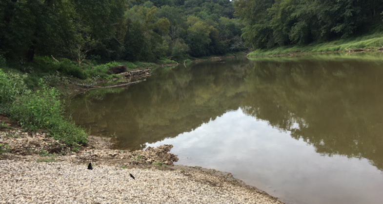
Green River at Houchin Ferry launch site
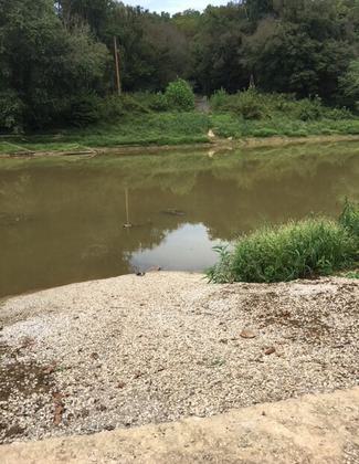
Houchin Ferry launch
Location: The Green and Nolin Blueway are located in Mammoth Cave National Park, the Nolin River Lake Tailwater located in the Van Meter Recreation Area and Edmonson County in South Central Kentucky.
- States: Kentucky
- Counties: Hart, Edmonson
- Cities/Townships: Mammoth Cave, Brownsville
The Green and Nolin Rivers Blueway, mostly inside Mammoth Cave National Park but also within Edmonson County and the Nolin Lake Tailwater in south-central Kentucky, includes 36 miles of navigable waterway and seven public access sites. The 36 miles of navigable waterway and seven public access sites of the Green and Nolin Rivers Blueway are located predominantly within Mammoth Cave National Park and Edmonson County including the Nolin Lake Tailwater.
Mammoth Cave National Park
Mammoth Cave National Park is heralded as Kentucky's oldest tourist attraction and serves as an anchor for this first segment of a wider regional blueway proposed along the upstream and downstream mileage of the Green River from this project. The purpose of Mammoth Cave National Park is to preserve, protect, interpret, and study the internationally-recognized biological and geologic features and processes associated with the longest cave system in the world.
Recreation
The park's caves, scenic river valleys, bluffs, forests, and abundant wildlife draw visitors to the park. The park offers ranger-led cave tours and surface walks, camping, hiking, horseback riding, bicycling, scenic drives, canoeing and kayaking, fishing, accessible trails, and picnicking. This breadth of activities is available because Mammoth Cave National Park is a park on two levels, a reclaimed hardwood forest and riverways above and complex cave systems below.
The seven public access launches for the Green and Nolin Rivers Blueway offer the paddler several amenities. These include camping, picnic shelters, public restrooms, wildlife observation, fishing, hiking, and information signage. All sites include boat launches and parking.
Green River
The Green River is the most biologically diverse branch of the Ohio River System and one of the most biologically diverse rivers in the United States. The largest river basin in Kentucky, the Green drains an area of more than 9,200 square miles as it meanders from east to west for more than 300 miles in south central Kentucky. The flowing water of the Green River is the most dominant force in shaping the regional landscape, characterized by deep valleys and well-incised meanders cutting through the terrain. The Green is an ancient channel, predating the earliest cave development. Ultimately, water in the caves drains to the Green River, creating important streams. Those cave streams inside the park and the park's underground drainage basins are designated as Outstanding State Resource Waters. The Green River is designated an Outstanding State Resource Water and a State Wild River, providing significant scenic and recreational opportunities.
The Green River is the master stream controlling the geologic development of Mammoth Cave and its world-class karst ecosystem. Springs along the Green River provide opportunities to experience the intersection between surface and subsurface environments. Within the park, the Green River bisects two physiographic regions and supports one of the most biodiverse aquatic communities in North America.
Nolin River
The Nolin River is a 104-mile-long tributary of the Green River in central Kentucky in the United States. Via the Green and Ohio Rivers, it is a part of the watershed of the Mississippi River. The Nolin River is formed in western Larue County by the confluence of its short North and South Forks, both of which flow for their entire lengths in Larue County; the North Fork flows past Hodgenville, Kentucky. The Nolin then flows generally southwestwardly through or along the boundaries of Hardin, Grayson, Hart, and Edmonson counties located in Kentucky. It joins the Green River in the western part of Mammoth Cave National Park, about two miles northeast of Brownsville.
Ecological Significance and Abundance of Wildlife
The Green and Nolin Rivers possess some of the most diverse fish (more than 80 species) and invertebrate fauna (more than 50 species of mussels, including seven federally-endangered species) populations in North America. The combination of the topographic variety associated with the karst landscape and the temperate climate of the region provides a number of ecological niches that support an exceptionally diverse assemblage of more than 1,300 vascular flora species, including unusual communities.
Accessibility Information
No text provided.
Allowed Uses:
Boating, motorized Boating, human-poweredOther Activities
- Camping
- Fishing
- Heritage and history
- Wildlife viewing / observation
Public Contact
Barclay TrimbleNational Park Service
P.O. Box 7
Mammoth Cave, KY 42259
[email protected] • 270-758-2185
More Details
- Elevation (low): --
- Elevation (high): --
- Elevation (cumulative): --
- Part of a Trail System? No
- State Designations: KY Outstanding Resource Water & KY Wild River
- Surface (primary): --
- Surfaces (additional): Grass or Vegetation, Water, swift moving, Water, slow moving
- Tread Width (average): 0"
- Tread Width (minimum): 0
- Running length (minimum): --
- Tread Grade (average, percent): --
- Tread Grade (maximum):
- Running length (maximum): --
- Cross-slope (average, percent): 0
- Cross-slope (maximum): --
- Running length (maximum): --
- Certified as an NRT
Jun 3, 2021