Fisher Towers Trail
check with the trail manager for updated details before visiting.
Fisher Towers Trail
Bureau of Land Management
Backcountry Trail
- Length
2.2 miles
- Elevation Gain
--
- Route Type
out & back
(2 reviews)
- Length
2.2 miles - Elevation Gain
-- - Route Type
out & back
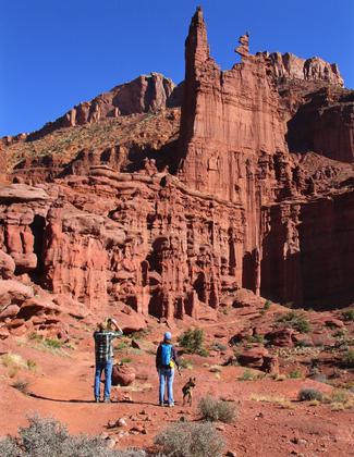
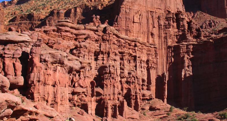
The 2.2-mile long trail winds around the base of the towers which are internationally recognized features including Titan, the largest freestanding sandstone spire in the world.
Goblins along the trail. Photo by Stuart Macdonald.
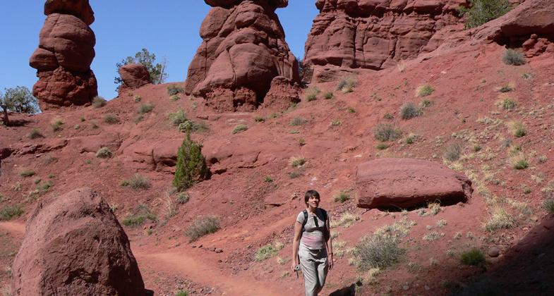
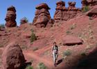
Hikers and leashed dog on the Fisher Towers trail. Photo by Valerie A. Russo.
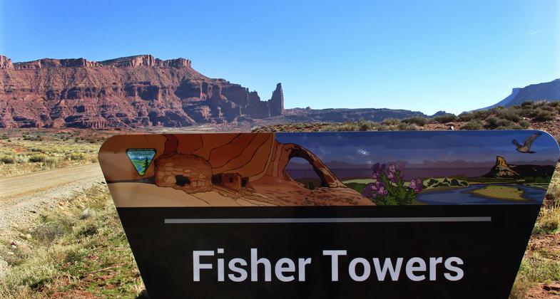
New sign. Photo by Valerie A. Russo.
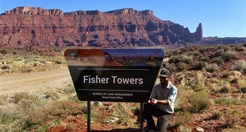
BLM ranger installs a new sign. Photo by Valerie A. Russo.
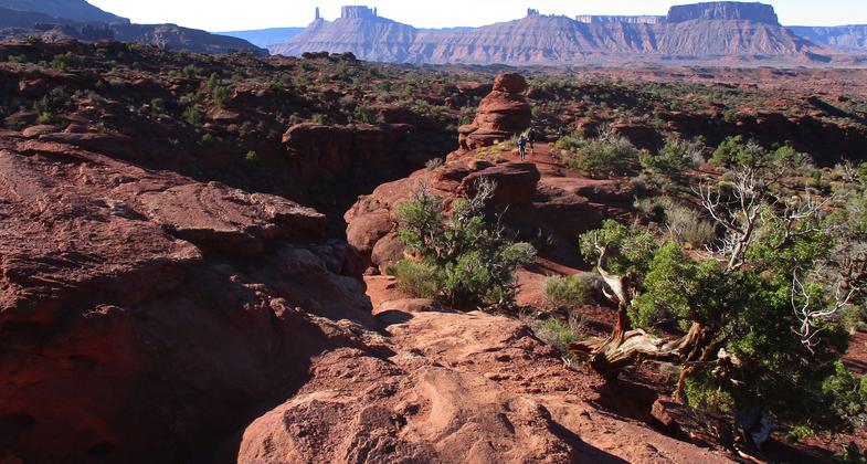
View from the Fisher Towers trail. Photo by Valerie A. Russo.
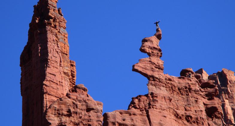
A climber savors the moment at Fisher Towers. Photo by Valerie A. Russo.
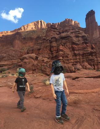
Halloween at Fisher Towers. Photo by Ashli Murdock.
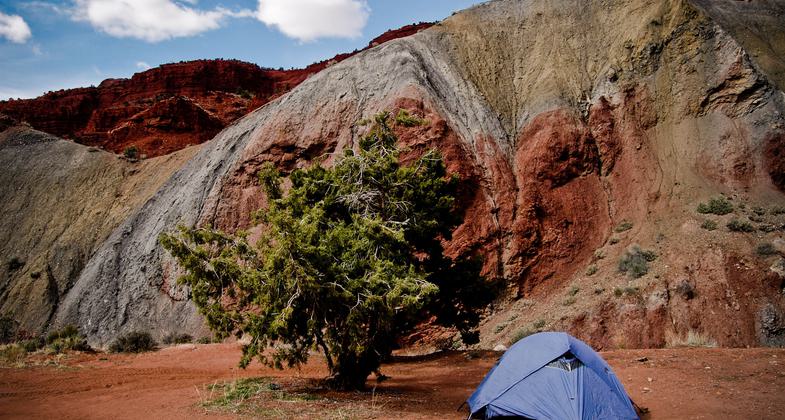
Fisher Towers camp. Photo by Ida Koric.
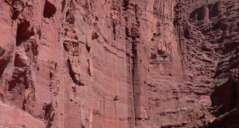
Red rocks wall with hiker for scale. Photo by Stuart Macdonald.

Location: 22 miles east of Moab, UT, At BLM's Fisher Towers Recreation Site, off Scenic Byway 128, 21 miles northeast of Moab.
- States: Utah
- Counties: Grand
The Fisher Towers Hiking Trail is a popular trail (16,000 visits in 2006) that provides access to a unique scenic geology hike in North America. The 2.2-mile-long trail is used by people from all over the world. It winds around the base of the towers which are internationally recognized features. The tallest sandstone monolith, the Titan, is the largest freestanding sandstone spire in the world. The Titan towers 900 feet above hikers on the hiking trail below. Fisher Towers is an outstanding natural resource and an iconic symbol of southern Utah. Fisher Towers Trail allows the public to walk in among the towers and access their beauty. The trail provides a unique way for the public to experience the forces of geology that are characteristic of the Colorado Plateau.
Accessibility Information
No text provided.
Reviews
Valerie Russo
Hold on -- we need a cable!
From the Fisher Towers trail, hikers can watch climbers make their way to the top of their chosen sandstone tower and can enjoy views of distinctive buttes in the distance (Castle Rock, the Monastery and the Monsignor). But there's one section of slickrock on the trail that's too steep to climb safely without a secure cable to hold onto. Of course, athletic climbers can bound up the slickrock like mountain goats, but casual hikers could use some help.
Spectacular rock formations east of Moab
This is one of the most amazing trails I've hiked. Location is right off the river highway east of Moab so it's convenient if you're coming or going in the Colorado direction. The scale of the rocks is vast but you're right in the middle of them, so it's more intimate than the national monuments and of course not so crowded. Trail is well developed and easy to follow.
Allowed Uses:
Hiking/WalkingPublic Contact
Katie StevensMoab BLM
82 East Dogwood
Moab 84532
[email protected] • (435) 259-2100
www.blm.gov/uta
Contact the trail manager for current maps and visiting details.
More Details
- Elevation (low): 4717
- Elevation (high): 5550
- Elevation (cumulative): --
- Part of a Trail System? No
- Surface (primary): Soil
- Surfaces (additional): Rock, smooth
- Tread Width (average): 24"
- Tread Width (minimum): --
- Running length (minimum): --
- Tread Grade (average, percent): --
- Tread Grade (maximum):
- Running length (maximum): --
- Cross-slope (average, percent): --
- Cross-slope (maximum): --
- Running length (maximum): --
- Certified as an NRT
May 31, 2007