Erie Canal Heritage Trail
check with the trail manager for updated details before visiting.
Erie Canal Heritage Trail
State
Rail Trail
- Length
65.3 miles
- Elevation Gain
--
- Route Type
out & back
- Length
65.3 miles - Elevation Gain
-- - Route Type
out & back

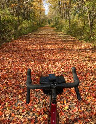
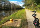
2023 Photo Contest Winner: Rail and Canal Trails. Photo by Michael John Hall
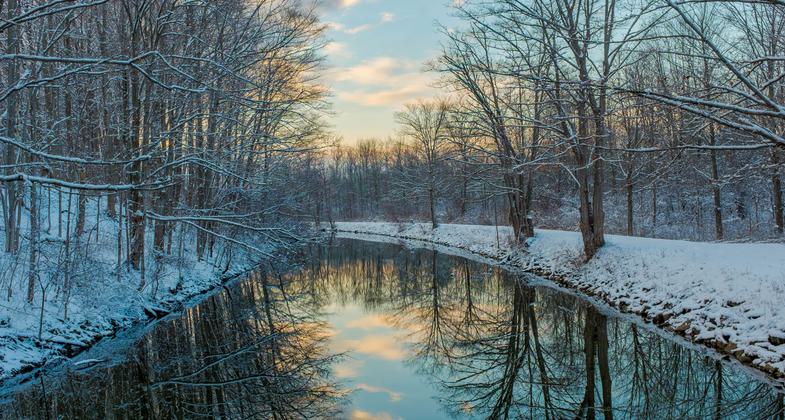

Lockport Locks. Photo by Mary Shaw.

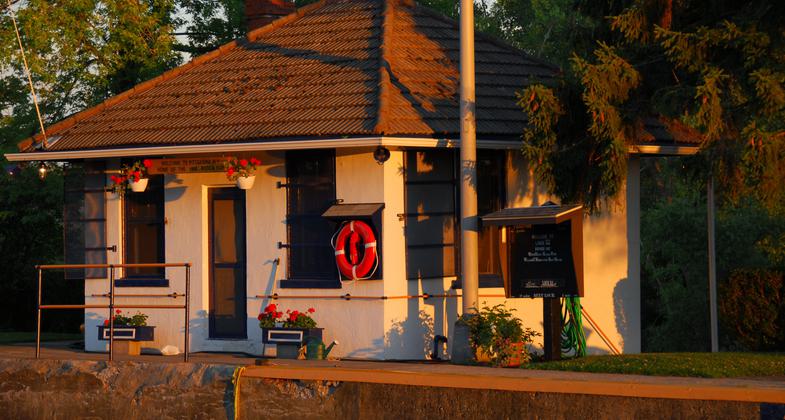
Lock 32 Depot. Photo by Michael R. King.
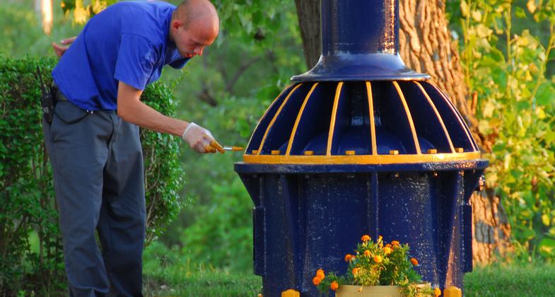
A fresh coat of paint. Photo by Michael R. King.
Location: Between Albany and Buffalo
- States: New York
- Counties: Monroe, Niagara, Orleans, Wayne
More than three-quarters of the 365-mile long, off-road Erie Canalway Trail between Albany and Buffalo is open for recreation. When finished, the trail will be the nation's longest multiple-use trail.
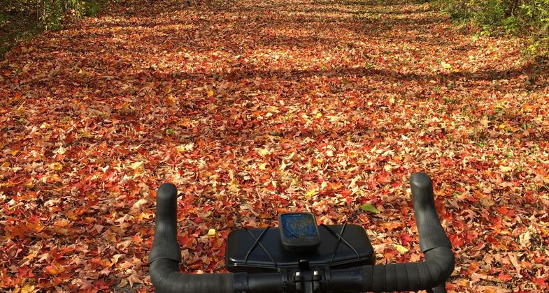
Walking the Erie Canalway Trail offers a glimpse of what walking across the state with a canal boat in tow might have been like. The trail is open to hikers, joggers, and bicyclists, as well as cross-country skiers in winter. Some sections are suitable for in-line skating.
The Champlain Canal Trail, running from the confluence of the Mohawk and Hudson Rivers at Waterford to Lake Champlain at Whitehall, is still being developed. Short trail segments currently follow the old Champlain Canal towpath in Waterford and in Schuylerville.
Accessibility Information
No text provided.
Allowed Uses:
Bicycling Equestrian Hiking/Walking Motorized vehicles, snowmobiling Snow, cross-country skiingOther Activities
- Camping
- Snow, snow play general
Public Contact
Lawrence O'ConnorNew York State Canal Corporation
3901 Genesse St.
Cheektowaga, NY 14225
(716) 631-9017
Contact the trail manager for current maps and visiting details.
More Details
- Elevation (low): --
- Elevation (high): --
- Elevation (cumulative): --
- Part of a Trail System? No
- Surface (primary): Paved
- Surfaces (additional): Rock, crushed, Soil
- Tread Width (average): 0"
- Tread Width (minimum): --
- Running length (minimum): --
- Tread Grade (average, percent): --
- Tread Grade (maximum):
- Running length (maximum): --
- Cross-slope (average, percent): --
- Cross-slope (maximum): --
- Running length (maximum): --
- Certified as an NRT
Jul 6, 1984