Eagle Trail
check with the trail manager for updated details before visiting.
Eagle Trail
USDA Forest Service
Backcountry Trail
- Length
28.5 miles
- Elevation Gain
--
- Route Type
out & back
- Length
28.5 miles - Elevation Gain
-- - Route Type
out & back
This is a nice trail for a day hike because it is not as steep as many of the trails in this area.
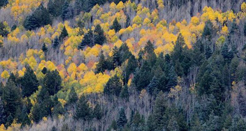
Location: In Apache National Forest, NW of Clifton off US 191.
- States: Arizona
This is a nice trail for a day hike because it is not as steep as many of the trails in this area.
The access road to the trailhead passes by the location of an old sawmill camp. Not much remains except for a few pieces of machinery and vehicles. Some good loop opportunities exist using East Eagle Trail as a starting point. The trail was partially reconstructed and re-routed in 1994 with support from the Arizona State Trails Heritage Fund and the Trailblazers, a local volunteer group from Greenlee County. Sawmill Cabin is reached after 7.5 miles. This cabin is maintained by the grazing permit holder but is open to the public. You are asked to leave it as you found it or better. West of Sawmill Cabin the canyon widens out. Previous floods have washed away much of the trail so you will need to pick your way through the rocks. The trail ends or starts west of the cabin at Honeymoon Campground.
Accessibility Information
No text provided.
Allowed Uses:
Hiking/WalkingPublic Contact
Apache-Sitgreaves National ForestFederal Building
Springerville, AZ 85938
Contact the trail manager for current maps and visiting details.
More Details
- Elevation (low): --
- Elevation (high): --
- Elevation (cumulative): --
- Part of a Trail System? No
- Surface (primary): --
- Surfaces (additional): --
- Tread Width (average): 0"
- Tread Width (minimum): --
- Running length (minimum): --
- Tread Grade (average, percent): --
- Tread Grade (maximum):
- Running length (maximum): --
- Cross-slope (average, percent): --
- Cross-slope (maximum): --
- Running length (maximum): --
- Certified as an NRT
Oct 18, 1979