Eagle Roost Nature Trail
This information is a public record of the 2006 NRT application and may be out of date if it has not been updated by a trail manager --
check with the trail manager for updated details before visiting.
check with the trail manager for updated details before visiting.
Eagle Roost Nature Trail
U.S. Fish and Wildlife Service
Backcountry Trail
- Length
1.25 miles
- Elevation Gain
--
- Route Type
Loop
- Length
1.25 miles - Elevation Gain
-- - Route Type
Loop
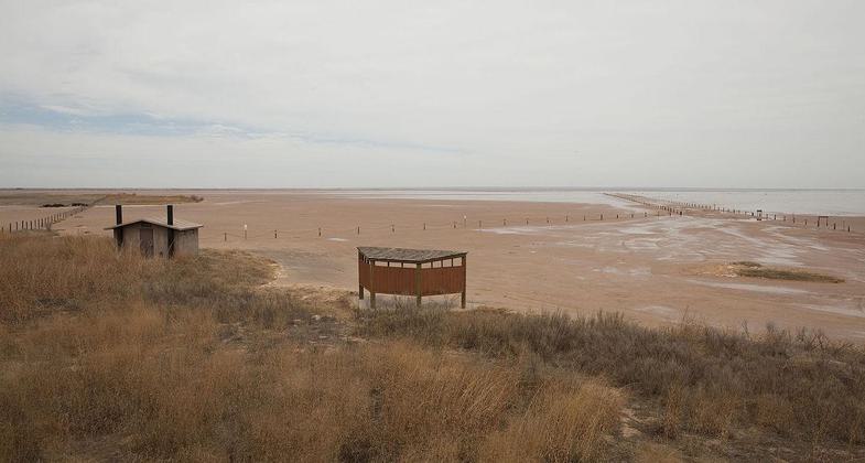
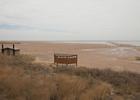
Location: Salt Plains National Wildlife Refuge, At Salt Plains NWR south of State Route 11 northwest of Enid.
- States: Oklahoma
- Counties: Alfalfa
Adjacent to the refuge headquarters, the trail gives visitors the opportunity to enjoy a wide variety of wildlife and habitats. The trail is open year-round and allows visitors a chance to see the wildlife of Eagle Roost Pond and Sand Creek Bay.
Accessibility Information
No text provided.
Allowed Uses:
Dogs, on leash Hiking/WalkingOther Activities
- Wildlife viewing / observation
Public Contact
Jon BorckUSFWS
RT 1, Box 76
Jet, OK 73749
[email protected] • (580) 626-4794
altplains.fws.gov
Contact the trail manager for current maps and visiting details.
More Details
- Elevation (low): 1114
- Elevation (high): 1132
- Elevation (cumulative): --
- Part of a Trail System? No
- Surface (primary): Soil
- Surfaces (additional): Soil
- Tread Width (average): 102"
- Tread Width (minimum): --
- Running length (minimum): --
- Tread Grade (average, percent): 2
- Tread Grade (maximum): 6
- Running length (maximum): --
- Cross-slope (average, percent): --
- Cross-slope (maximum): --
- Running length (maximum): --
- Certified as an NRT
May 31, 2006