Dog Run Hollow
This information is a public record of the 1981 NRT application and may be out of date if it has not been updated by a trail manager --
check with the trail manager for updated details before visiting.
check with the trail manager for updated details before visiting.
Dog Run Hollow
U.S. Fish and Wildlife Service
- Length
7 miles
- Elevation Gain
--
- Route Type
out & back
- Length
7 miles - Elevation Gain
-- - Route Type
out & back
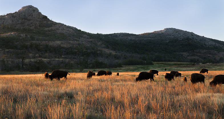
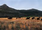
Bison grazing at sunrise in the Wichita Mountains . Photo by Larry Smith.
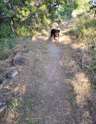
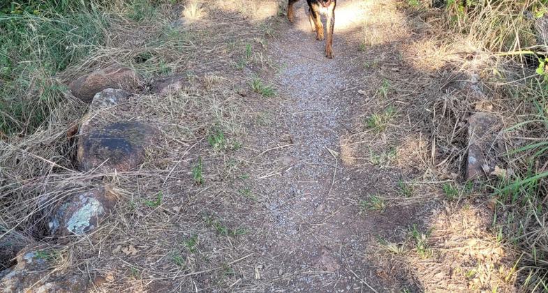
Dudley loves Dog Hollow run beause he loves to swim. Photo by Mary Ivey-Sleight.
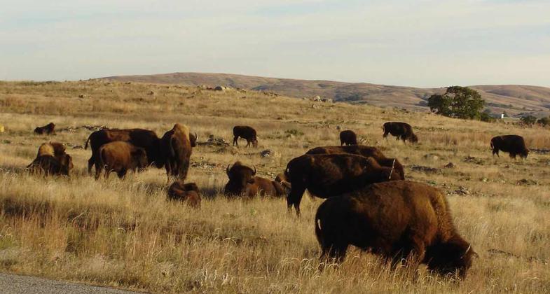
Bison grazing in the Wichita Mountains. Photo by Marelbu.
Location: At Wichita Mountains NWR, 25 mi. W of Lawton.
- States: Oklahoma
The Dog Run Hollow Trail System, a part of the National Recreational Trail System, has trailheads at French Lake, Boulder, Lost Lake, and the Dog Run Hollow parking areas. Using the French Lake trailhead, visitors can choose among a one, three, or four-hour hike through some of the more unique areas of the refuge.
Accessibility Information
No text provided.
Allowed Uses:
Hiking/WalkingPublic Contact
US Fish & Wildlife ServiceRoute 2, P.O. Box 448
Indiahoma, OK 73552
Contact the trail manager for current maps and visiting details.
More Details
- Elevation (low): --
- Elevation (high): --
- Elevation (cumulative): --
- Part of a Trail System? No
- Surface (primary): --
- Surfaces (additional): --
- Tread Width (average): 0"
- Tread Width (minimum): --
- Running length (minimum): --
- Tread Grade (average, percent): --
- Tread Grade (maximum):
- Running length (maximum): --
- Cross-slope (average, percent): --
- Cross-slope (maximum): --
- Running length (maximum): --
- Certified as an NRT
Jun 7, 1981