Divide-Twin Creek Trail
This information is a public record of the 1979 NRT application and may be out of date if it has not been updated by a trail manager --
check with the trail manager for updated details before visiting.
check with the trail manager for updated details before visiting.
Divide-Twin Creek Trail
USDA Forest Service
Backcountry Trail
- Length
13.22 miles
- Elevation Gain
--
- Route Type
out & back
- Length
13.22 miles - Elevation Gain
-- - Route Type
out & back

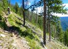
The Divide Trail steepens as it near the Twin Creek junction. Photo by David Lingle.

Sign marking the Divide and Twin Creek trail junction. Photo by David Lingle.

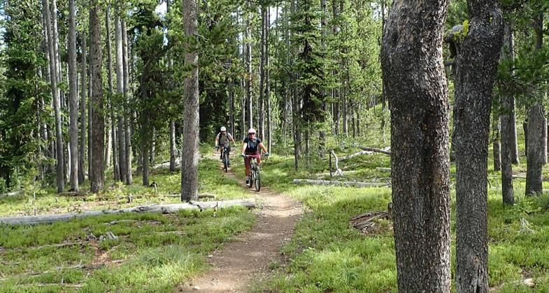
A mountain bike rider descends on Divide #106 to the Twin Creek trail. Allan Mountain is prominent in the background. Photo by David Lingle.

The length of the Divide #106 trail is open to dirtbikes. Photo by David Lingle.
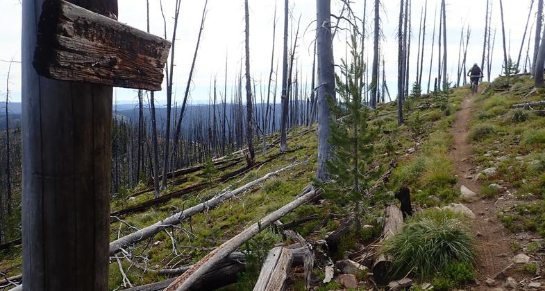
A charred sign marking the Divide Trail remains as a reminder of the large forest fires of 2000. Photo by David Lingle.

The Divide #106 trail passes near a small pond. Photo by David Lingle.

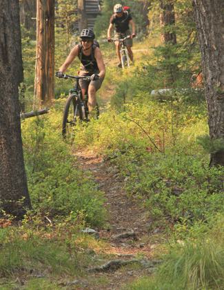
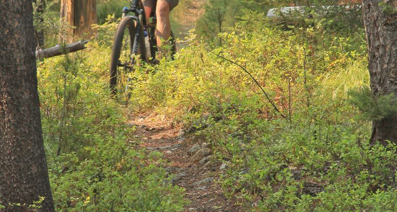
A mountain bike rider enjoying the north end of Divide #106 trail. Photo by David Lingle.

A motorcycle leans on the trail sign at the north end of the Divide #106 singletrack. Photo by David Lingle.
A rider enjoys the Idaho/Montana border. Photo by David Lingle.
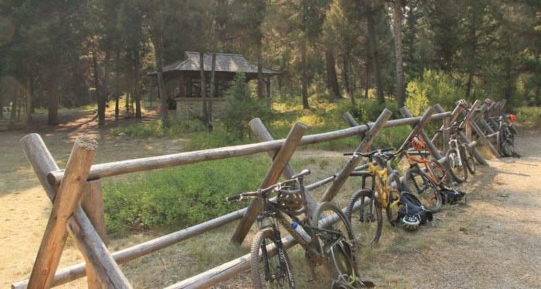
The Twin Creek Pavillion, built in the 1930s by the CCC, is a great place to end a ride. Photo by David Lingle.
Location: Salmon Challis National Forest, On U.S. Highway 93 north of Salmon, from North Fork to Montana line, west to Lost Trail Pass.
- States: Idaho
- Counties: Lemhi
No text provided.
Accessibility Information
No text provided.
Allowed Uses:
Bicycling Dogs, on leash Equestrian Motorized vehicles, snowmobilingOther Activities
- Camping
- Snow, snow play general
Public Contact
Salmon-Challis National Forest1206 S. Challis St.
Salmon, ID 83467
(208) 756-5100
Contact the trail manager for current maps and visiting details.
More Details
- Elevation (low): 5400
- Elevation (high): 8250
- Elevation (cumulative): --
- Part of a Trail System? No
- Surface (primary): Soil
- Surfaces (additional): Soil
- Tread Width (average): 18"
- Tread Width (minimum): --
- Running length (minimum): --
- Tread Grade (average, percent): 10
- Tread Grade (maximum): 20
- Running length (maximum): --
- Cross-slope (average, percent): --
- Cross-slope (maximum): --
- Running length (maximum): --
- Certified as an NRT
Sep 13, 1979