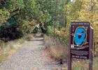
Display Pond Trail
This information is a public record of the 2007 NRT application and may be out of date if it has not been updated by a trail manager --
check with the trail manager for updated details before visiting.
check with the trail manager for updated details before visiting.
Display Pond Trail
U.S. Fish and Wildlife Service
Backcountry Trail
- Length
0.4 miles
- Elevation Gain
--
- Route Type
Loop
- Length
0.4 miles - Elevation Gain
-- - Route Type
Loop
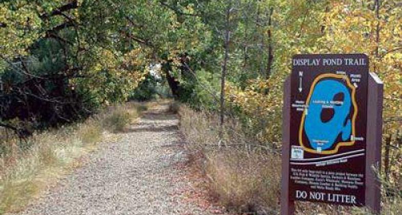
DISPLAY POND TRAIL IN BOWDOIN NATIONAL WILDLIFE REFUGE.

Trail parallels entrance road. Photo by Carmen Luna.

Pond overlook deck. Photo by Carmen Luna.

Display Pond Trailhead. Photo by Carmen Luna.

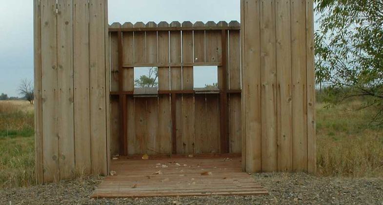
Accessible photo blind. Photo by Carmen Luna.
Location: Bowdoin National Wildlife Refuge on old Hwy 2 east of Malta, MT
- States: Montana
- Counties: Phillips
Located in the Bowdoin National Wildlife Refuge, this 0.4-mile accessible, walking trail allows visitors of all ages and abilities to experience the outdoors and a diversity of wildlife.
Accessibility Information
No text provided.
Allowed Uses:
Dogs, on leash Hiking/WalkingOther Activities
- Wildlife viewing / observation
Public Contact
Carmen LunaU.S. Fish & Wildlife Service
Bowdoin NWR, 194 Auto Tour Rd.
Malta, MT 59538
[email protected] • (406) 654-2863
Contact the trail manager for current maps and visiting details.
More Details
- Elevation (low): 2200
- Elevation (high): 2200
- Elevation (cumulative): --
- Part of a Trail System? No
- Surface (primary): Paved
- Surfaces (additional): Rock, crushed
- Tread Width (average): 108"
- Tread Width (minimum): --
- Running length (minimum): --
- Tread Grade (average, percent): --
- Tread Grade (maximum):
- Running length (maximum): --
- Cross-slope (average, percent): --
- Cross-slope (maximum): --
- Running length (maximum): --
- Certified as an NRT
May 31, 2007