Crater Rim Trail
This information is a public record of the 1982 NRT application and may be out of date if it has not been updated by a trail manager --
check with the trail manager for updated details before visiting.
check with the trail manager for updated details before visiting.
Crater Rim Trail
National Park Service
Backcountry Trail
- Length
11.6 miles
- Elevation Gain
--
- Route Type
out & back
- Length
11.6 miles - Elevation Gain
-- - Route Type
out & back
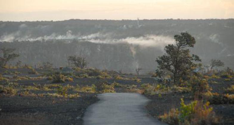
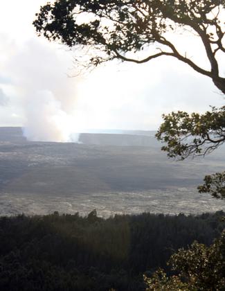
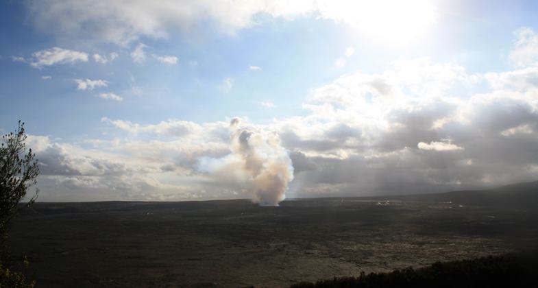
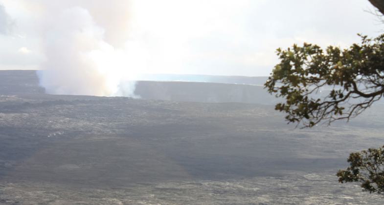
Location: In Hawaii Volcanoes NP circling the Kilauea Caldera.
- States: Hawaii
The Crater Rim Trail begins at the Kilauea Visitor Center and makes an 11-mile circuit roughly following the crater rim drive of Kilauea. Kilauea is the youngest and southeastern most volcano on the Big Island of Hawaii. The challenging hike takes 5-6 hours and provides a variety of landscapes and climates as well as views of the craters and Mauna.
Accessibility Information
No text provided.
Allowed Uses:
Hiking/WalkingPublic Contact
Joe GambskyHawaii Volcanoes National Park
P.O. Box 52
Hawaii Volcanoes, HI 96718
[email protected] • (808) 985-6058
www.nps.gov/havo
Contact the trail manager for current maps and visiting details.
More Details
- Elevation (low): --
- Elevation (high): --
- Elevation (cumulative): --
- Part of a Trail System? No
- Surface (primary): Rock, crushed
- Surfaces (additional): Rock, crushed, Soil
- Tread Width (average): 48"
- Tread Width (minimum): --
- Running length (minimum): --
- Tread Grade (average, percent): --
- Tread Grade (maximum):
- Running length (maximum): --
- Cross-slope (average, percent): --
- Cross-slope (maximum): --
- Running length (maximum): --
- Certified as an NRT
Feb 4, 1982