Coyote Creek Trail
check with the trail manager for updated details before visiting.
Coyote Creek Trail
City, Town, or County
Urban Trail
- Length
18.7 miles
- Elevation Gain
--
- Route Type
out & back
- Length
18.7 miles - Elevation Gain
-- - Route Type
out & back
Part of the San Jose Trail Network, travel along the Coyote Creek Trail permits trail users to review a riparian channel with wildlife often in view.

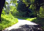
Along Coyote Creek.

Coyote Creek Trail near Bailey Avenue in the Coyote Valley south of San Jose, California at sunset
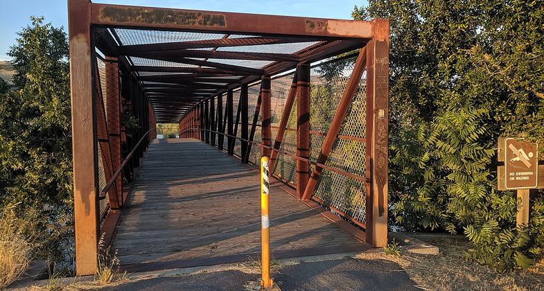
A bridge over Coyote Creek on the Coyote Creek Trail in South San Jose next to Monterey Road
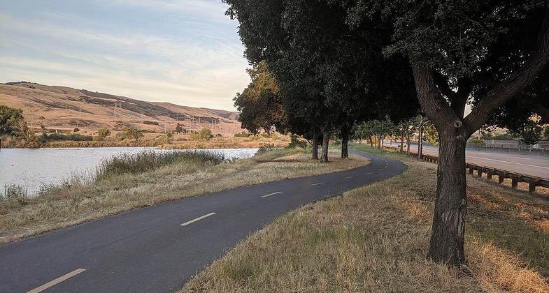
The Coyote Creek Trail between Coyote Creek Lake and Monterey Road in South San Jose.
Location: City of San Jose, California
- States: California
- Counties: Santa Clara
- Cities/Townships: San Jose
The City of San Jose is strategically developing a 100-mile trail network by unifying 35 trail systems to provide active transportation and recreation for pedestrians, bicyclists, equestrians, and other users. The City has secured NRT designation for 16.4 miles over three trail systems.
The Coyote Creek Trail in its current form is discontinuous. Only the northern 2.1 miles of the trail are recognized as part of the NRT because of its connectivity to the other NRT-designated trails. The trail follows the creek and provides a residential neighborhood and several large employment sites (Cisco and Cadence).
A long-term plan is in place to further develop the trail upon completion of flood protection improvements (managed by the Army Corp of Engineers and Santa Clara Valley Water District). Nine miles of trail immediately to the south have been master planned and are being designed at this time. Linkage to this portion of the Coyote Creek Trail will link the trail to Downtown San Jose.
Accessibility Information
No text provided.
Allowed Uses:
Bicycling Hiking/WalkingPublic Contact
Yves ZsuttyCity of San Jose Department of Parks, Recreation
200 East Santa Clara Street, 9th Floor
San Jose, CA 95113
[email protected] • (408) 793-5561
www.sjparks.org/trail
Contact the trail manager for current maps and visiting details.
More Details
- Elevation (low): 15
- Elevation (high): 15
- Elevation (cumulative): --
- Part of a Trail System? No
- Surface (primary): Paved
- Surfaces (additional): Rock, crushed
- Tread Width (average): 127"
- Tread Width (minimum): --
- Running length (minimum): --
- Tread Grade (average, percent): --
- Tread Grade (maximum): 5
- Running length (maximum): --
- Cross-slope (average, percent): 2
- Cross-slope (maximum): --
- Running length (maximum): --
- Certified as an NRT
May 25, 2009