Cordell Hull Lake
This information is a public record of the 1981 NRT application and may be out of date if it has not been updated by a trail manager --
check with the trail manager for updated details before visiting.
check with the trail manager for updated details before visiting.
Cordell Hull Lake
U.S. Corps of Engineers
- Length
22 miles
- Elevation Gain
--
- Route Type
out & back
- Length
22 miles - Elevation Gain
-- - Route Type
out & back
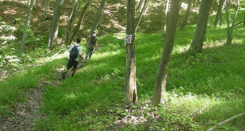
Wilderness Trail at Cordell Hull Lake. Photo by Kelly Stewart.
Wilderness Trail at Cordell Hull Lake. Photo by Kelly Stewart.

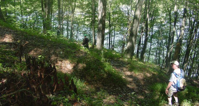
Cordell Hull Lake. Photo by Kelly Stewart.

Location: On S shore of Cordell Hull Lake N of Gentry and I-40.
- States: Tennessee
No text provided.
Accessibility Information
No text provided.
Allowed Uses:
Hiking/WalkingPublic Contact
US Army Corps of EngineersP.O. Box 1070
Nashville, TN 37202
Contact the trail manager for current maps and visiting details.
More Details
- Elevation (low): --
- Elevation (high): --
- Elevation (cumulative): --
- Part of a Trail System? No
- Surface (primary): --
- Surfaces (additional): --
- Tread Width (average): 0"
- Tread Width (minimum): --
- Running length (minimum): --
- Tread Grade (average, percent): --
- Tread Grade (maximum):
- Running length (maximum): --
- Cross-slope (average, percent): --
- Cross-slope (maximum): --
- Running length (maximum): --
- Certified as an NRT
Apr 6, 1981