Congressman Ralph Regula Towpath Trail
check with the trail manager for updated details before visiting.
Congressman Ralph Regula Towpath Trail
City, Town, or County
Frontcountry Trail
- Length
25 miles
- Elevation Gain
--
- Route Type
out & back
- Length
25 miles - Elevation Gain
-- - Route Type
out & back
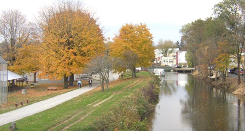
Towpath in fall. Photo by Stark County Park District.

Snow walkers. Photo by Stark County Park District.

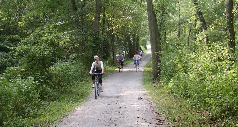
Bikes on towpath. Photo by Stark County Park District.

Canal boat and visitors center. Photo by Stark County Park District.

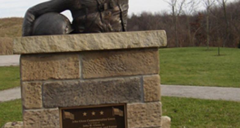
John Glenn Grove bronze bust. Photo by Stark County Park District.

Frozen Lock 4. Photo by Stark County Park District.

Lock 4. Photo by Stark County Park District.

Canal Remnant. Photo by Stark County Park District.

Location: Follows route of the Ohio & Erie Canal from the southern Summit County line to Rt. 212 in southern Stark Co., connects Canal Fulton south through Massillon to State Route Towpath Trail OH 212.
- States: Ohio
- Counties: Stark
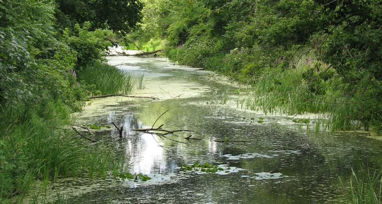
The Stark County, Ohio, section of the Ohio & Erie National Heritage Canalway has been designated the Congressman Ralph Regula Trail in honor of the Congressman who has championed its development as a recreational resource since the 1960s. The 25-mile trail follows the route of the historic Ohio & Erie Canal from the southern border of Summit County to the southern border of Stark County, passing through the historic villages of Canal Fulton and Navarre, the City of Massillon, rural country-sides and forested areas.
When the Ohio & Erie Canal opened in 1827, it was the first major canal west of the Appalachian Mountains. Along with New York's Erie Canal, it quickly became part of the most important superhighway system of its day.
By connecting the Ohio frontier with New York and New Orleans, the Ohio & Erie Canal helped people and products flow across America, fueling westward expansion, a national market economy, and regional industrial might.
Today, the Ohio & Erie Canalway is a National Heritage Area. In Stark County, it is a place to experience trails, scenic byways, canal towns, rivers, industrial landscapes, and green spaces, as visitors explore our past, present, and future. In Stark County trail visitors can explore historic Lock 4 Park, take a ride on a replica canal boat, and visit at least four museums that highlight the history of the canal era in northeast Ohio. A large tunnel takes hikers, bicyclists, and horseback riders under an active railroad; on another section of trail they pass by an inspirational bronze bust of former Senator and astronaut John Glenn who encourages one to "reach for the stars."
Accessibility Information
No text provided.
Allowed Uses:
Bicycling Dogs, on leash Hiking/WalkingOther Activities
- Fishing
- Wildlife viewing / observation
Public Contact
Robert FonteStark County Park District
5300 Tyner St NW
Canton, OH 44708
[email protected] • (330) 477-0956
Contact the trail manager for current maps and visiting details.
More Details
- Elevation (low): 880
- Elevation (high): 944
- Elevation (cumulative): --
- Part of a Trail System? No
- Surface (primary): Rock, crushed
- Surfaces (additional): Rock, crushed
- Tread Width (average): 127"
- Tread Width (minimum): --
- Running length (minimum): --
- Tread Grade (average, percent): 1
- Tread Grade (maximum): 2
- Running length (maximum): --
- Cross-slope (average, percent): --
- Cross-slope (maximum): --
- Running length (maximum): --
- Certified as an NRT
May 31, 2008