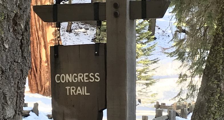
Congress Trail
check with the trail manager for updated details before visiting.
Congress Trail
National Park Service
Backcountry Trail
- Length
2 miles
- Elevation Gain
--
- Route Type
Loop
- Length
2 miles - Elevation Gain
-- - Route Type
Loop
The Congress Trail is a level, two-mile loop trail that begins at the General Sherman Tree along Generals Highway.
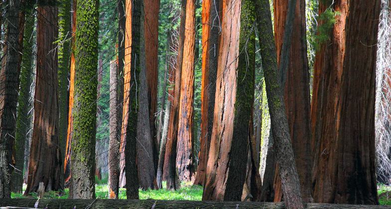
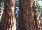
Groves of Sequoias along the trail. Photo by Pam Riches.
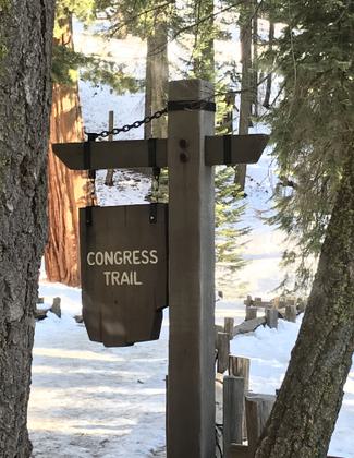
Start of trail. Photo by Pam Riches.
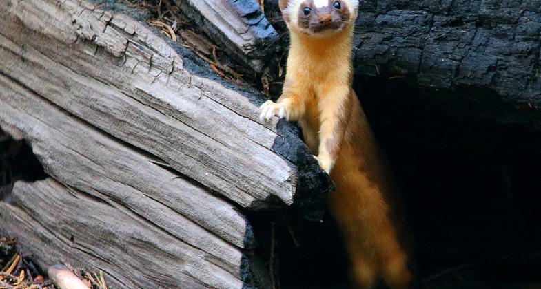
Long-tailed weasel near the House Group on the Congress Trail. Photo by I-Ting Chiang.
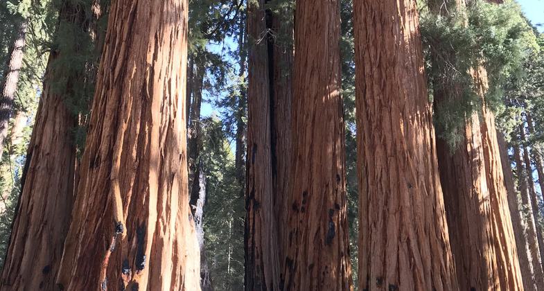
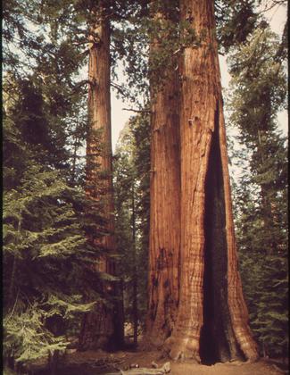
Giant Sequoias on the Congress Trail in Sequoia National Park. Photo by I-Ting Chiang.
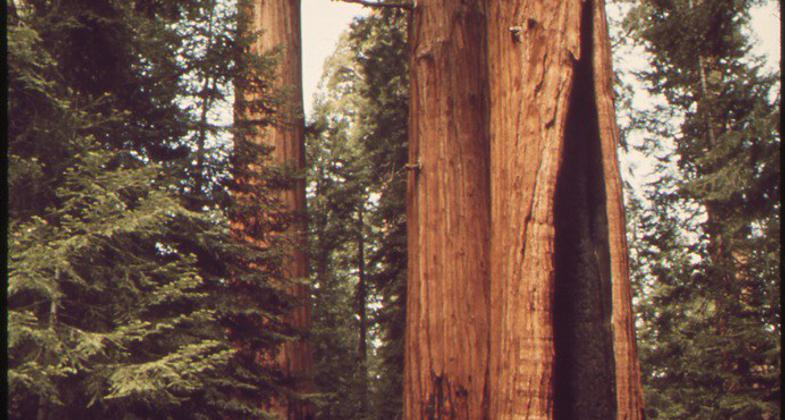
Congress Trail circa 1972.
Location: In Sequoia-Kings Canyon NP by the Gen. Sherman Tree on the Generals Highway.
- States: California
- Counties: Tulare
The Congress Trail is a level, two-mile loop trail that begins at the General Sherman Tree along Generals Highway. The path follows a paved route through the heart of the Giant Forest. It is recommended for first-time visitors to Sequoia National Park and for visitors with limited time. This is one of the easiest access points to large groupings of the Big Trees. The Congress Trail is so named because the trees have been given important names. Famous sequoias along this trail include the House and Senate Groups, the President, Chief Sequoyah, General Lee, and McKinley Trees. Be prepared for crowds at this site, it's one of the best viewing areas for the giant trees anywhere. The trail is wheelchair accessible.
Accessibility Information
No text provided.
Allowed Uses:
Hiking/WalkingPublic Contact
Mary Anne CarltonSequoia and King's Canyon National Park
Box C Lodgepole
Sequoia and King?s Canyon NP, CA 93262
(559) 565-3781
www.nps.gov/seki
Contact the trail manager for current maps and visiting details.
More Details
- Elevation (low): 6707
- Elevation (high): 7076
- Elevation (cumulative): --
- Part of a Trail System? No
- Surface (primary): Paved
- Surfaces (additional): Paved
- Tread Width (average): 48"
- Tread Width (minimum): --
- Running length (minimum): --
- Tread Grade (average, percent): --
- Tread Grade (maximum):
- Running length (maximum): --
- Cross-slope (average, percent): --
- Cross-slope (maximum): --
- Running length (maximum): --
- Certified as an NRT
Feb 4, 1982