Columbus, Georgia Black Heritage Trail
check with the trail manager for updated details before visiting.
Columbus, Georgia Black Heritage Trail
City, Town, or County
Urban Trail
- Length
9 miles
- Elevation Gain
--
- Route Type
out & back
- Length
9 miles - Elevation Gain
-- - Route Type
out & back
The Columbus, GA Black Heritage Trail is an urban trail, portions of which provide excellent scenic views of both the Chattahoochee River and the urban historic district.
View from the Marriott on the 14th Street Bridge over the Chattahoochee River. Photo by Tracie Sanchez.
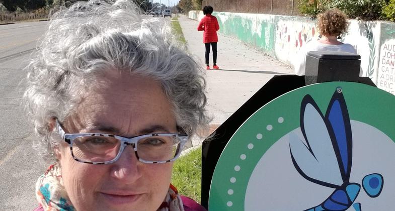
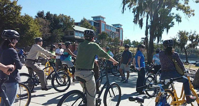
Dragonfly Trail network, MLK Blvd. spur. Photo by Tracie Sanchez.
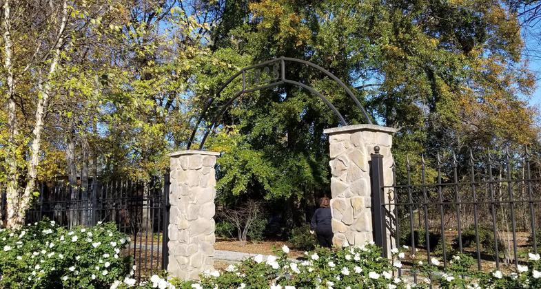
Slave Cemetery. Photo by Tracie Sanchez.
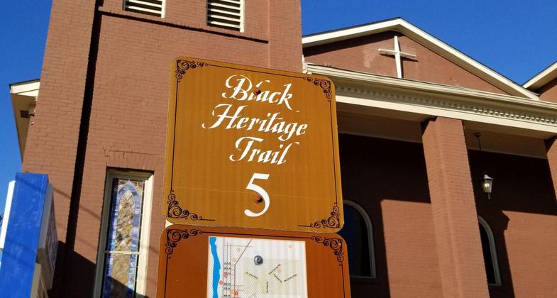
BHT Signage. Photo by Tracie Sanchez.
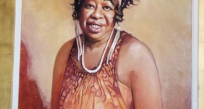
Ma Rainey. Photo by Tracie Sanchez.
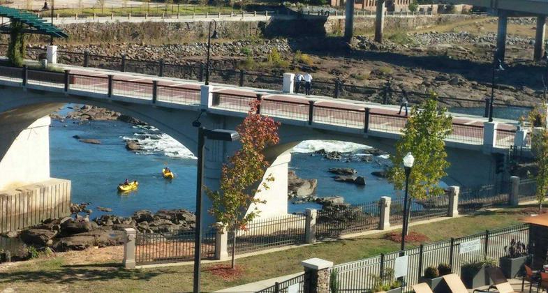
Bike/pedestrian Bridge on NRT trail - kayakers below on the Chattahoochee River. Photo by Tracie Sanchez.
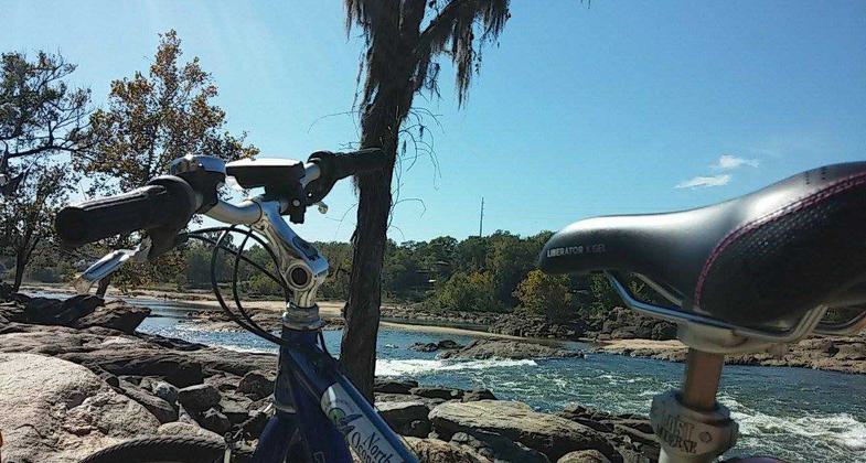
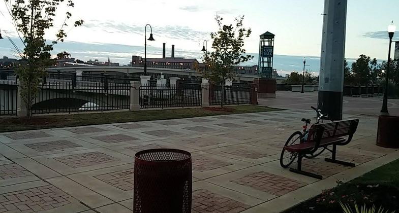
Bike resting on railing at the edge of the Chattahoochee River. Photo by Tracie Sanchez.
Columbus Riverwalk - Kayak landing on the Chattahoochee River. Photo by Tracie Sanchez.

Location: Columbus, GA; about 100 miles south and west of Atlanta, within the Chattahoohee Valley & adjacent to Phoenix City & Fort Benning
- States: Georgia
Georgia Tourism is currently rewriting the Black Heritage Trail tourism brochure product in February 2019. It is a cultural trail of 20-30 visitable sites that lie near or on the Dragonfly Trail Network of Columbus. The NRT symbol is affixed to the 14th Street pedestrian bridge that brings one across the Chattahoochee River from Alabama to Georgia where one can begin visiting the black heritage sites such as Springer Opera House, Black Art in America gallery, Primus King Site, Prince Hall Masonic Lodge where MLK Jr. spoke, Ma Rainey Museum, and many more. Tours are intended to be offered via biking, walking, and tour vehicle. Loads of lunch stops along the way include black-owned businesses like the Royal Cafe, Chesters BBQ, and Skipper's seafood. Check with the Columbus CVB for final brochures/website in later 2019.
Sample google map: https://drive.google.com/open?id=1QjCWD37kktEeX1LHNxj-XWUQ4M5Wqrfo&usp=sharing
Accessibility Information
No text provided.
Allowed Uses:
Bicycling Hiking/WalkingPublic Contact
Visit Columbus(800) 999.1613
www.visitcolumbusga.com
Contact the trail manager for current maps and visiting details.
More Details
- Elevation (low): --
- Elevation (high): --
- Elevation (cumulative): --
- Part of a Trail System? No
- Surface (primary): Paved
- Surfaces (additional): Paved
- Tread Width (average): 0"
- Tread Width (minimum): --
- Running length (minimum): --
- Tread Grade (average, percent): --
- Tread Grade (maximum):
- Running length (maximum): --
- Cross-slope (average, percent): --
- Cross-slope (maximum): --
- Running length (maximum): --
- Certified as an NRT
Apr 13, 2000