Columbine-Twining
check with the trail manager for updated details before visiting.
Columbine-Twining
USDA Forest Service
- Length
14 miles
- Elevation Gain
--
- Route Type
out & back
- Length
14 miles - Elevation Gain
-- - Route Type
out & back
The trail connects the Village of Taos Ski Vally (9,400 ft. elev.) and Columbine Camp Ground, 5 miles east of the Village of Questa (7,500 ft. elev.) via Gold Hill (12,711 ft .elev.)
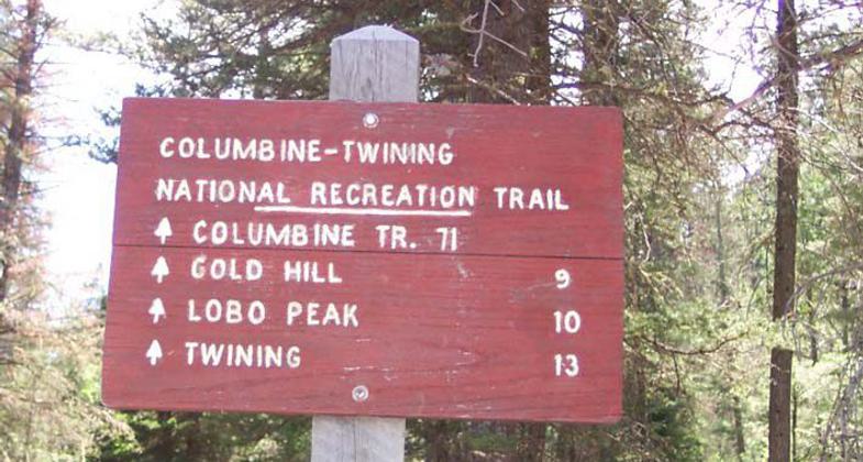
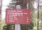
Columbine sign at trailhead. Photo by USDA Forest Service.
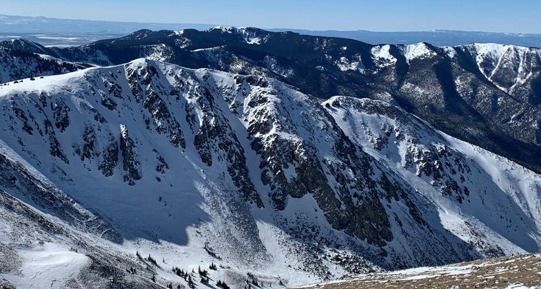
Winter Tundra in the Sangre de Cristo Mountains of Northern New Mexico along the Columbine-Twining National Recreation Trail. Photo by Charles Clayton.
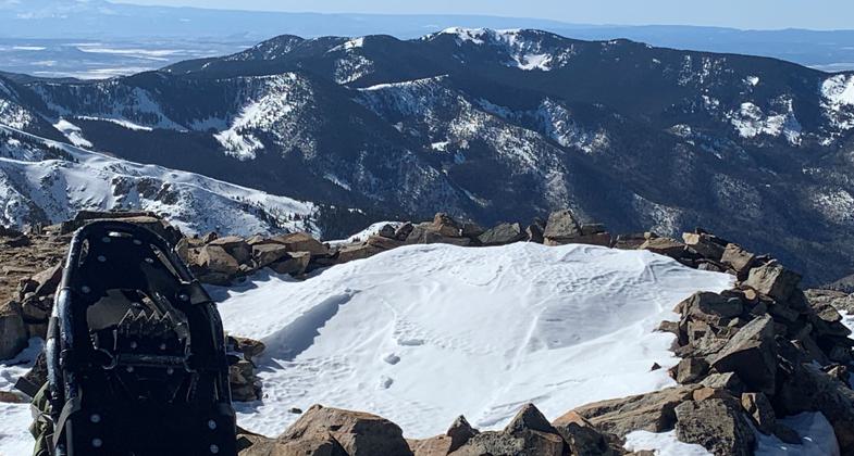
Winter Tundra in the Sangre de Cristo Mountains of Northern New Mexico along the Columbine-Twining National Recreation Trail. Photo by Charles Clayton.
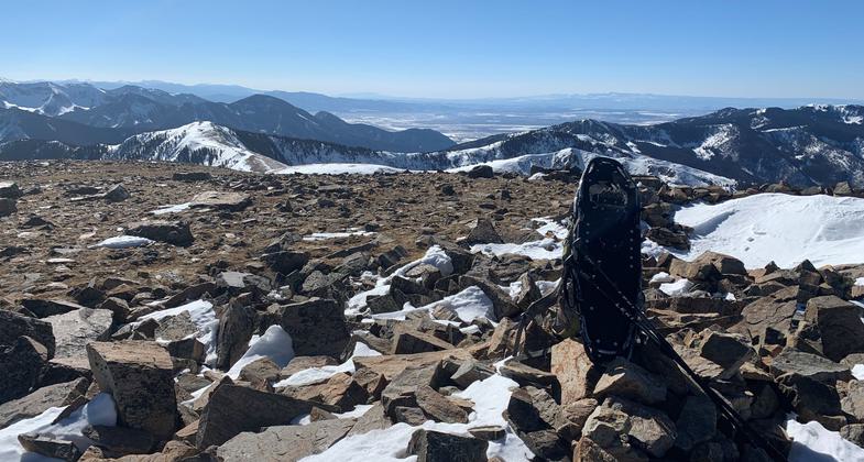
Winter Tundra in the Sangre de Cristo Mountains of Northern New Mexico along the Columbine-Twining National Recreation Trail. Photo by Charles Clayton.
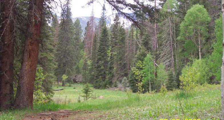
Columbine Trail in Carson National Forest. Photo by USDA Forest Service.
Location: In Carson National Forest, joins Columbine and Twining campgrounds.
- States: New Mexico
- Counties: Taos
Designated as a National Recreation Trail in 1978. The trail follows the Columbine Canyon Trail #71 for the first 1.4 miles. Just past the Deer Creek crossing turn left up the Deer Creek Trail #69. Follow the trail switchbacks through aspen stands to the ridge above the tree line with views to the west of Lobo Peak and Flag Mountain. Trail #69 turns north, reentering the bristlecone pine forest. Here you will join the Gold Hill Trail #64 which follows the open ridge above the tree line over the summit of Gold Hill (12,711 ft) and above Goose Lake. The trail follows the ridge down to Bull of the Woods Pasture where it meets Trail #90 which ends at the Twining Campground in Taos Ski Valley.
Accessibility Information
No text provided.
Allowed Uses:
EquestrianOther Activities
- Camping
- Heritage and history
- Hunting
- Wildlife viewing / observation
Public Contact
Carson National Forest208 Cruz Alta Rd.
Taos, NM 87571
(505) 758-292
Contact the trail manager for current maps and visiting details.
More Details
- Elevation (low): 7
- Elevation (high): 12
- Elevation (cumulative): --
- Part of a Trail System? No
- Surface (primary): Soil
- Surfaces (additional): --
- Tread Width (average): 24"
- Tread Width (minimum): --
- Running length (minimum): --
- Tread Grade (average, percent): --
- Tread Grade (maximum):
- Running length (maximum): --
- Cross-slope (average, percent): --
- Cross-slope (maximum): --
- Running length (maximum): --
- Certified as an NRT
Dec 17, 1978