Colonial Tarboro Historic Trail
check with the trail manager for updated details before visiting.
Colonial Tarboro Historic Trail
City, Town, or County
Urban Trail
- Length
1.97 miles
- Elevation Gain
--
- Route Type
out & back
- Length
1.97 miles - Elevation Gain
-- - Route Type
out & back

Location: Historic District of Tarboro, NC. Just over one hour east of the State Capitol of Raleigh on U.S. 64; just 20 miles east of I-95 beyond Rocky Mount and along the State<apos>s main artery to the Outer banks and Cape Hatteras National Seashore
- States: North Carolina
- Counties: Edgecombe
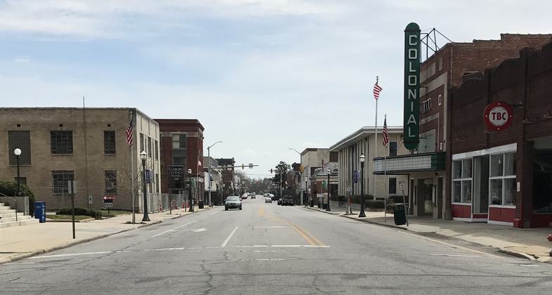
Founded as a Colonial town in 1760, Tarboro is one of North Carolina's oldest communities, and contains one of the states largest historic districts. The multi-block National Register Historic District contains significant residential, church, and commercial architecture, including late 18th century, early to mid 19th century antebellum and gothic structures and an outstanding collection of Victorian homes, cottages and bungalows. It was one of the National Trust's first Downtown Main Street communities. Tarboro also retains it unique and beautiful Town Common, created as part of the original Town plan in 1760, and considered one of the best-preserved urban open spaces in the U.S. The trail is designated for walking, biking, or driving. There is also an extensive paddle trail on the Tar River with boat access ramps at the N.C. 33 bridge on the north end of town and at the Riverfront Common at Main Street in Downtown Tarboro.
Accessibility Information
No text provided.
Allowed Uses:
Bicycling Hiking/WalkingPublic Contact
Carol BanksEdgecombe County Cultural Arts Council
130 Bridgers St.
Tarboro, NC 27886
[email protected] • (252) 823-4159
Contact the trail manager for current maps and visiting details.
More Details
- Elevation (low): 40
- Elevation (high): --
- Elevation (cumulative): --
- Part of a Trail System? No
- National Designations: None/unknown
- State Designations: None/unknown
- Surface (primary): Paved
- Surfaces (additional): Paved
- Tread Width (average): 48"
- Tread Width (minimum): --
- Running length (minimum): --
- Tread Grade (average, percent): 1
- Tread Grade (maximum):
- Running length (maximum): --
- Cross-slope (average, percent): --
- Cross-slope (maximum): --
- Running length (maximum): --
- Certified as an NRT
May 20, 1979