Climax Canyon Nature Trail
check with the trail manager for updated details before visiting.
Climax Canyon Nature Trail
City, Town, or County
Backcountry Trail
Urban Trail
- Length
3 miles
- Elevation Gain
--
- Route Type
Loop
(1 review)
- Length
3 miles - Elevation Gain
-- - Route Type
Loop
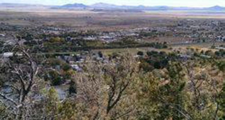
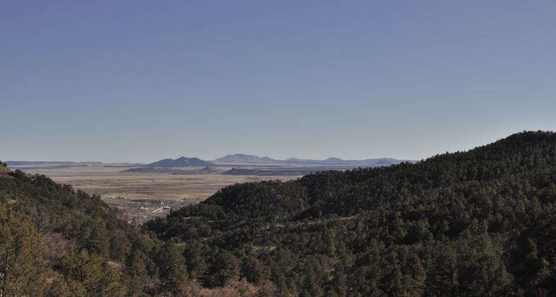
The Climax Canyon Nature Trail is a 3 mile, figure 8 loop trail located in Raton, New Mexico's Climax Canyon Park. This easy to moderate trail over looking downtown Raton is named after the now abandoned Climax Mine and offer fantastic views of mountains, mesas and New Mexico's high plains.
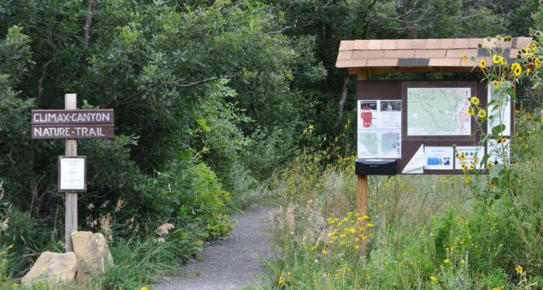
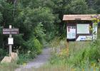
Climax Canyon Nature Trail Trail head. Photo by Tim Keller
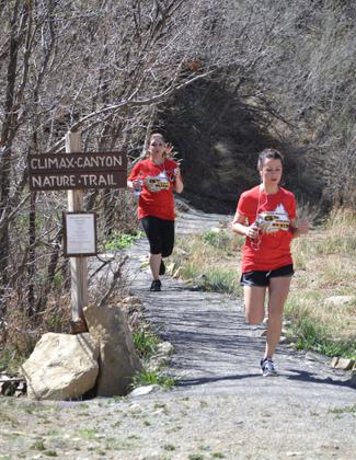
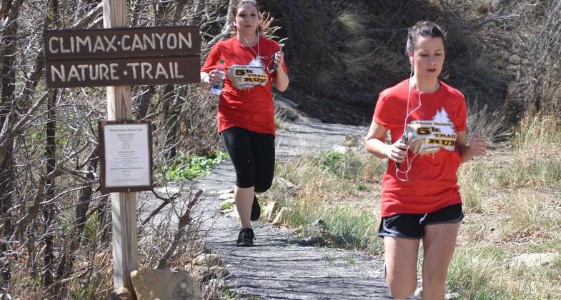
Climax Canyon Nature Trail 5K Trail Run
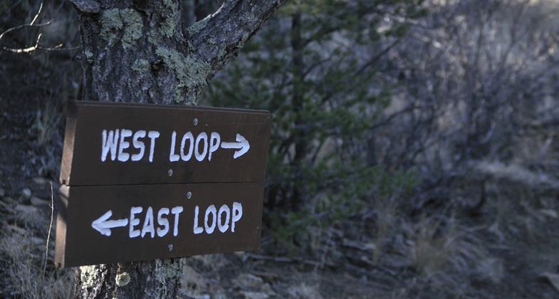
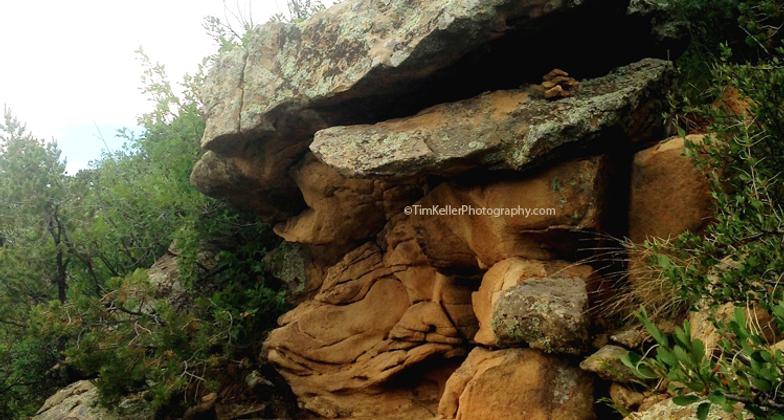
Trail Signage
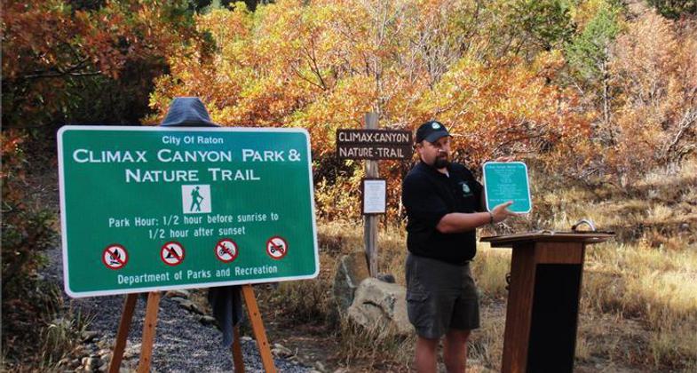
Nature Trail Dedication and Grand Opening
View of Nature Trail
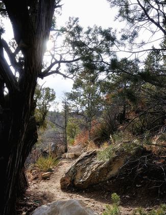
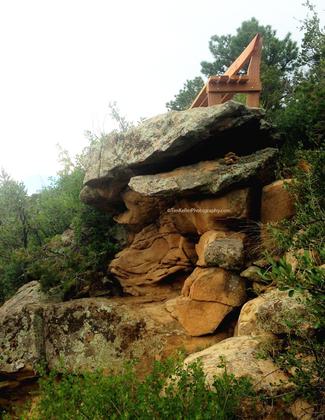
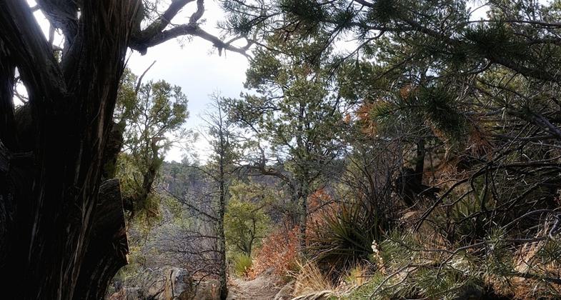
View from trail
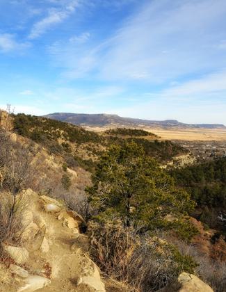
View from trail
View from trail
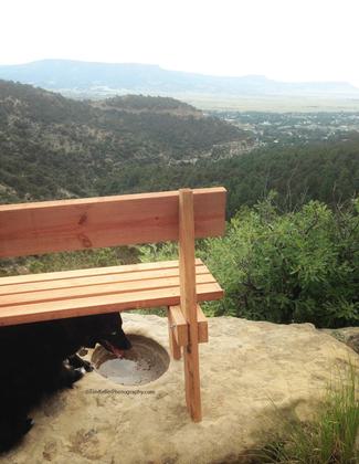
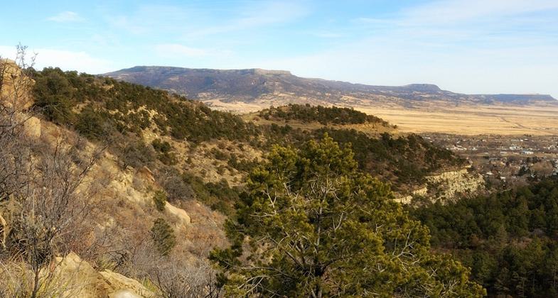
View from Scenic Overlook
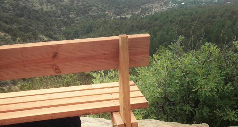
Climax Canyon Nature Trail Scenic Overlook Bench
Location: In Climax Canyon Park, in Raton, New Mexico
- States: New Mexico
- Counties: Colfax
- Cities/Townships: Raton
West of Raton lies the foothills of the Sangre de Cristo Mountains. In the late 1800s, the Climax Mine was established in one of the small canyons of those foothills. Eventually, as downtown Raton expanded, the city acquired the property the now abandoned Climax Mine was on and the area became known as Climax Canyon Park. For decades the park was undeveloped and used by the citizens of Raton for a variety of activities. Due to the lack of good management principles, the park was beginning to show the effects of erosion, vandalism, litter, and other adverse impacts. When the City of Raton's Department of Parks and Recreation was created in 2010, one of its top priorities was to develop a trail system in Climax Canyon Park along with a comprehensive management/maintenance plan for both the trail and the park as a whole.
In 2011, with assistance from New Mexico State Parks, the National Park Service, and the Philmont Scout Ranch Conservation Department, planning began for the first phase, or what would become known as the east loop of the Climax Canyon Trail. To begin construction, the local Raton business and community service organizations contributed the matching funds necessary to have the Rocky Mountain Youth Corps begin construction. Local volunteers completed the construction of the first phase and all of the second phase, or the west loop, under the guidance and direction of the National Park Service's Rivers, Trails & Conservation Assistance Program. Once the trail was completed the Rivers, Trails & Conservation Assistance Program worked with the City of Raton to develop a Comprehensive Management Plan for the park and trail.
With the scenic views of Raton and the surrounding mountains and mesas, and the potential for encountering wildlife, Climax Canyon Trail has become a favorite recreation location for the residents of Raton and its visitors. It is the site of the annual Climax Canyon 5k and is frequented daily by walkers and hikers. Schools use the trail as a field trip location to teach students about ecology, biology, geology, and natural science. Due to its historic significance as a former mine site, the Climax Canyon Nature Trail is one of Raton's outdoor recreation treasures.
Accessibility Information
No text provided.
Reviews
Brent Touchstone
Touchstone, Brent
I could not do the whole trail, because it started raining, but what I did hike was nice. The trail is nicely groomed and there were some good views.
Allowed Uses:
Bicycling Dogs, off leash Dogs, on leash Equestrian Hiking/Walking Snow, snowshoeingOther Activities
- Snow, snow play general
- Wildlife viewing / observation
Public Contact
Thomas Alderette, Jr., Recreation DirectorCity of Raton
100 Memorial Lane
Raton, NM 87740
[email protected] • 575-445-4271
Contact the trail manager for current maps and visiting details.
More Details
- Elevation (low): 6800
- Elevation (high): 7240
- Elevation (cumulative): --
- Part of a Trail System? No
- National Designations: None
- State Designations: None
- Surface (primary): Soil
- Surfaces (additional): Rock, crushed, Rock, smooth, Soil
- Tread Width (average): 20"
- Tread Width (minimum): 12
- Running length (minimum): --
- Tread Grade (average, percent): 3
- Tread Grade (maximum): 8
- Running length (maximum): --
- Cross-slope (average, percent): 3
- Cross-slope (maximum): --
- Running length (maximum): --
- Certified as an NRT
May 16, 2018