Citronelle Walking Trail
check with the trail manager for updated details before visiting.
Citronelle Walking Trail
City, Town, or County
Backcountry Trail
Frontcountry Trail
Rail Trail
Urban Trail
- Length
3 miles
- Elevation Gain
--
- Route Type
out & back
- Length
3 miles - Elevation Gain
-- - Route Type
out & back
The Citronelle Walking Trail traverses 3 miles through the old downtown area on the rail bed of the old Ohio and Mobile railroad.
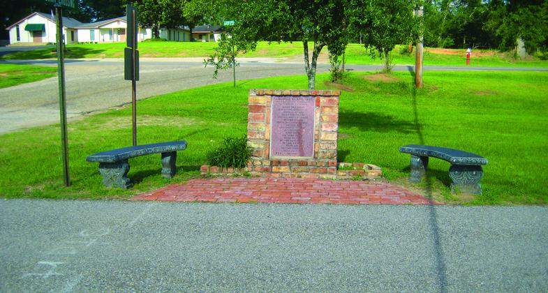
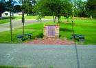
Start of Citronelle Walking Trail.
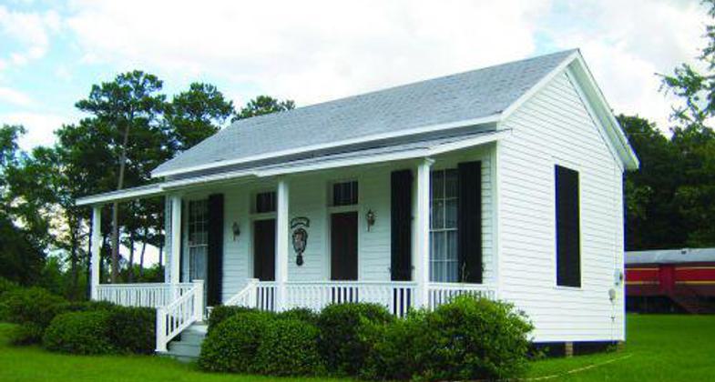
Citronelle Hygeia House

Western Union Telegraph office. Photo by Rob Grant.
Location: Paved rail-trail within the city limits of Citronelle in south Alabama.
- States: Alabama
- Counties: Mobile
In 1775, English botanist William Bartram made a trip to Citronelle to secure leaves of the Collinsonia canadensis, which is a citronella plant used in tea that was believed to have curative powers over fever. English settlers came to Citronelle in 1811 and the town flourished when the Ohio and Mobile Railroad arrived in 1851. Northerners seeking cures for contagious diseases came to Citronelle's hotels built near the town's springs.
Today, the Citronelle Walking Trail takes you by the restored train depot and the adjacent Hygeia Cottage, the only survivor of the town's famous hotels. The walk itself bears the stamp of the railroad as it follows the old railroad bed north to south through town.
The City of Citronelle, through a Recreational Trails Program grant, recently installed gas lights along the trail. The development of the trail was also assisted by a Recreational Trails Program grant.
Accessibility Information
No text provided.
Allowed Uses:
Dogs, on leash Hiking/WalkingPublic Contact
The Honorable Loretta Presnell19135 Main Street
Citronelle, AL 36522
(251) 866-7973
www.cityofcitronelle.com
Contact the trail manager for current maps and visiting details.
More Details
- Elevation (low): 323
- Elevation (high): 347
- Elevation (cumulative): --
- Part of a Trail System? No
- Surface (primary): Paved
- Surfaces (additional): Paved
- Tread Width (average): 60"
- Tread Width (minimum): --
- Running length (minimum): --
- Tread Grade (average, percent): 1
- Tread Grade (maximum): 1
- Running length (maximum): --
- Cross-slope (average, percent): --
- Cross-slope (maximum): --
- Running length (maximum): --
- Certified as an NRT
May 19, 2011