Chisholm Trail
check with the trail manager for updated details before visiting.
Chisholm Trail
City, Town, or County
- Length
5.5 miles
- Elevation Gain
--
- Route Type
out & back
- Length
5.5 miles - Elevation Gain
-- - Route Type
out & back
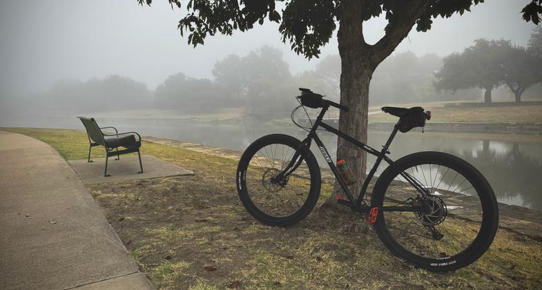
Foggy mornings and quiet rides – serenity on two wheels. Photo by Don Wendell

A National Recreation Trail and a sunny ride - pure joy

Winner 2024 NRT Photo Contest, Arts and Interpretation

The Chisholm Trail passing thru one of Plano's City Parks. Photo by City Plano Parks & Rec Staff.

Bench at Big Lake Park on east branch of Chisholm Trail. Photo by Jonathan Wise.

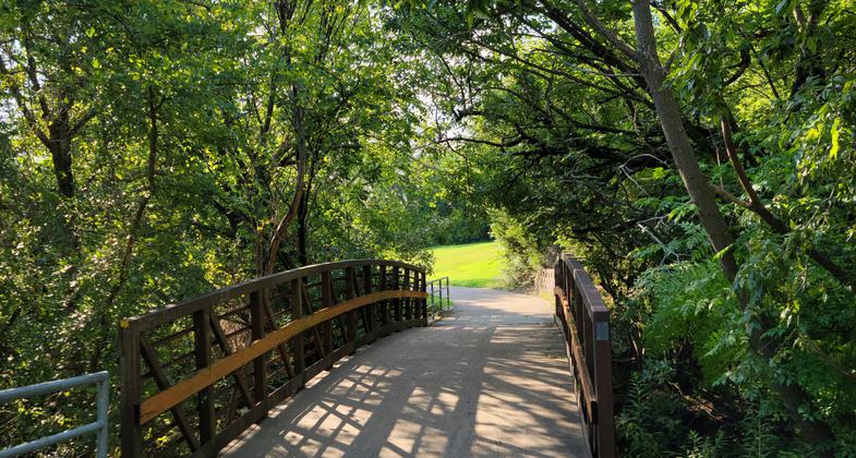
Short bridge over Spring Creek out of Harrington Park. Photo by Jonathan Wise.

The Chisholm Trail passing thru one of Plano's City Parks. Photo by City Plano Parks & Rec Staff.

Location: Plano, TX. Northern access at Jack Carter Park. Southern access at Harrington Park.
- States: Texas
- Counties: Collin
Chisholm Trail is a 5.5-mile long trail that runs alongside Spring Creek in central Plano in a northwestern and southeastern direction. All seven of the major thoroughfare crossings of 15th Street, Park Boulevard, Alma Drive, Parker Road, Custer Road, Spring Creek Parkway, and Independence Parkway are made via trail underpasses. Chisholm Trail connects through five parks: Harrington Park and the Plano Senior Center, Big Lake Park, Memorial Park, Dog Park, and Jack Carter Park and Pool. Additionally, Chisholm Trail connects to Schimelpfenig Library, Christie Elementary, Carlisle Elementary, and Schimelpfening Middle School. Chisholm Trail has more than 30 connection points to streets and parks, connects to nine proposed on-street bike routes, and to the 5.6-mile-long Bluebonnet Trail which runs east and west through central Plano.
Accessibility Information
No text provided.
Allowed Uses:
Bicycling Dogs, on leash Hiking/WalkingOther Activities
- Fishing
- Wildlife viewing / observation
Public Contact
Doug Braches, Trail System PlannerPlano Parks and Recreation Department
PO Box 860358
Plano, TX 75086
[email protected] • 972-208-8001
www.planoparks.org
Contact the trail manager for current maps and visiting details.
More Details
- Elevation (low): 600
- Elevation (high): 700
- Elevation (cumulative): --
- Part of a Trail System? No
- Surface (primary): Paved
- Surfaces (additional): Paved
- Tread Width (average): 127"
- Tread Width (minimum): --
- Running length (minimum): --
- Tread Grade (average, percent): 3
- Tread Grade (maximum): 6
- Running length (maximum): --
- Cross-slope (average, percent): --
- Cross-slope (maximum): --
- Running length (maximum): --
- Certified as an NRT
Nov 18, 1981