Cherry Creek
This information is a public record of the 1979 NRT application and may be out of date if it has not been updated by a trail manager --
check with the trail manager for updated details before visiting.
check with the trail manager for updated details before visiting.
Cherry Creek
USDA Forest Service
Backcountry Trail
- Length
6.17 miles
- Elevation Gain
--
- Route Type
out & back
- Length
6.17 miles - Elevation Gain
-- - Route Type
out & back
The Cherry Creek Trail is 5.3 miles long and accesses the east side of Sky Lakes Wilderness.
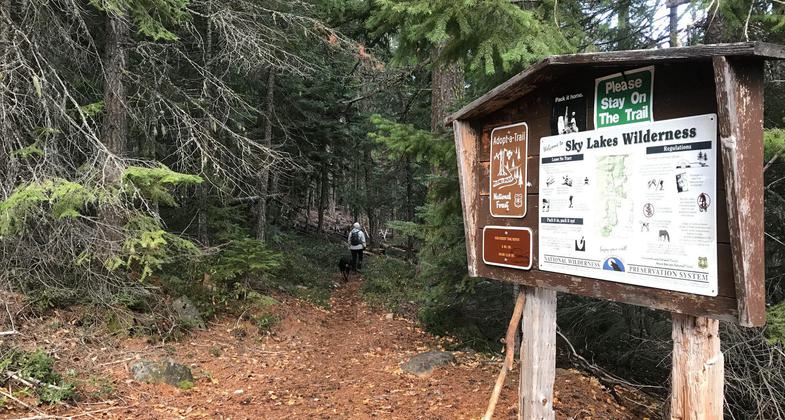
Trailhead. Photo by Pam Riches.

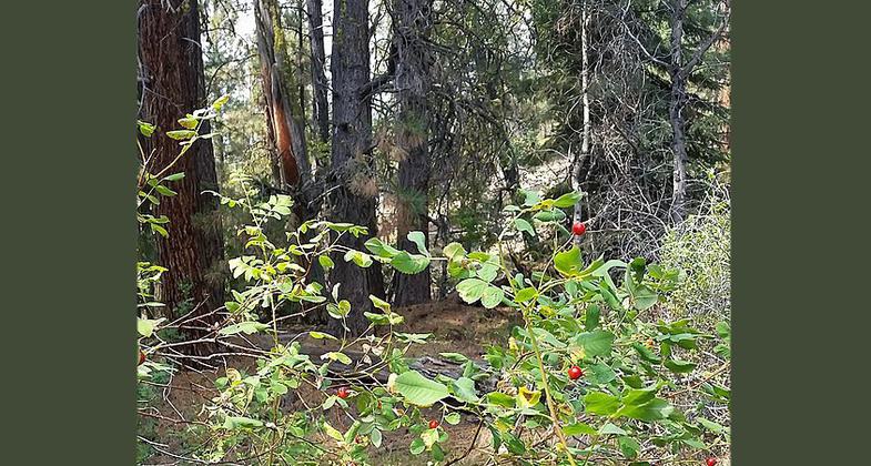
Trail end. Photo by Pam Riches.

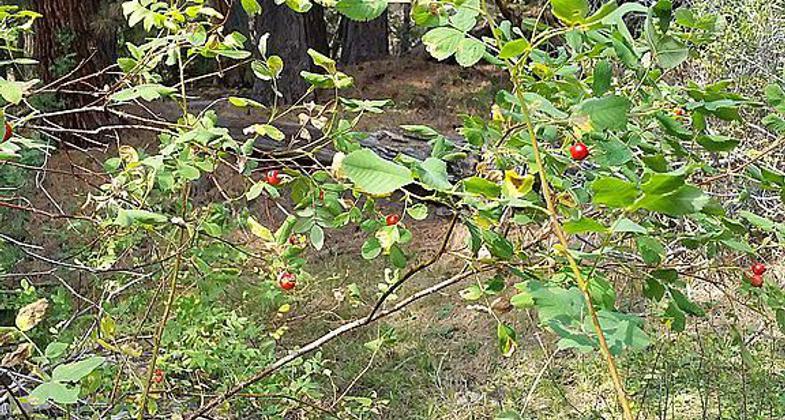
Parking Area. Photo by Pam Riches.

Winema National Forest, Lakeview, Oregon. Photo by Bobjgalindo.

Winema National Forest, Lakeview, Oregon. Photo by Bobjgalindo.
Location: Winema National Forest
- States: Oregon
- Counties: Klamath
A modestly difficult hikers/equestrian trail through the mixed conifer stands found in this portion of southern-central Oregon. This trail also provides access to a wilderness area.
Accessibility Information
No text provided.
Allowed Uses:
Equestrian Hiking/WalkingPublic Contact
Larry HillsWinema National Forest
1301 South G. St.
Lakeview, OR 97630
[email protected] • (541) 947-6275
Contact the trail manager for current maps and visiting details.
More Details
- Elevation (low): 4698
- Elevation (high): 6016
- Elevation (cumulative): --
- Part of a Trail System? No
- Surface (primary): Soil
- Surfaces (additional): --
- Tread Width (average): 18"
- Tread Width (minimum): --
- Running length (minimum): --
- Tread Grade (average, percent): 6
- Tread Grade (maximum): 15
- Running length (maximum): --
- Cross-slope (average, percent): --
- Cross-slope (maximum): --
- Running length (maximum): --
- Certified as an NRT
Oct 4, 1979