Centennial Trail
check with the trail manager for updated details before visiting.
Centennial Trail
U.S. Fish and Wildlife Service
- Length
0.33 miles
- Elevation Gain
--
- Route Type
out & back
- Length
0.33 miles - Elevation Gain
-- - Route Type
out & back
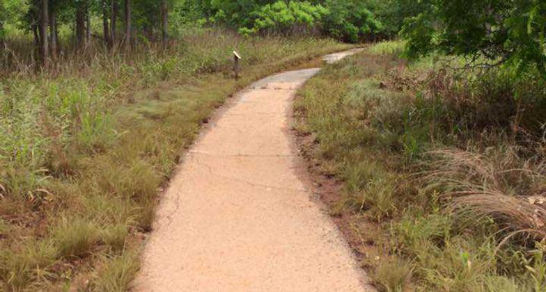
The .33 mile long Centennial Trail loops through a variety of diverse habitat types in a small area.
Woodland trail with interpretive signage. Photo by Amber Zimmerman/USFWS.

Path with accessible parking. Photo by Amber Zimmerman/USFWS.

Parkings area and accessible path. Photo by Amber Zimmerman/USFWS.

Location: 6.5 miles west of Butler, OK, On State Route 33 between Butler and Hammon.
- States: Oklahoma
- Counties: Custer
Hikers exit their cars at a parking area surrounded by mid-grass prairie species. As they proceed around the all-weather asphalt trail, prairie species give way to plants indicative of disturbed soil. Signs placed along the trail educate visitors on the plant and animal species they may observe. Further, along the trail, a boardwalk made from recycled plastic lumber crosses over a wetland area and leads to a deck, complete with observation scopes, overlooking a wetland area dominated by sedges and rushes.
Thousands of ducks, geese, and shorebirds use the wetland area for feeding and loafing during the fall, winter, and spring months. After leaving the deck, visitors travel through a riparian corridor with an overhead canopy of soapberry, mulberry, and elm trees. The trail circles back to the parking area through a transition zone between habitat types.
Accessibility Information
No text provided.
Allowed Uses:
No data provided.
Other Activities
- Wildlife viewing / observation
Public Contact
David MapleWashita National Wildlife Refuge
Rt. 1 Box 68
Butler, OK 73625
[email protected] • (580) 664-2205
www.fws.gov/southwest/refuges/oklahoma/washita
More Details
- Elevation (low): 1660
- Elevation (high): 1667
- Elevation (cumulative): --
- Part of a Trail System? No
- Surface (primary): Paved
- Surfaces (additional): Paved
- Tread Width (average): 72"
- Tread Width (minimum): --
- Running length (minimum): --
- Tread Grade (average, percent): --
- Tread Grade (maximum): 2
- Running length (maximum): --
- Cross-slope (average, percent): --
- Cross-slope (maximum): --
- Running length (maximum): --
- Certified as an NRT
May 31, 2006