Cattail Trail
check with the trail manager for updated details before visiting.
Cattail Trail
City, Town, or County
Backcountry Trail
Frontcountry Trail
Rail Trail
Urban Trail
- Length
4 miles
- Elevation Gain
--
- Route Type
out & back
- Length
4 miles - Elevation Gain
-- - Route Type
out & back

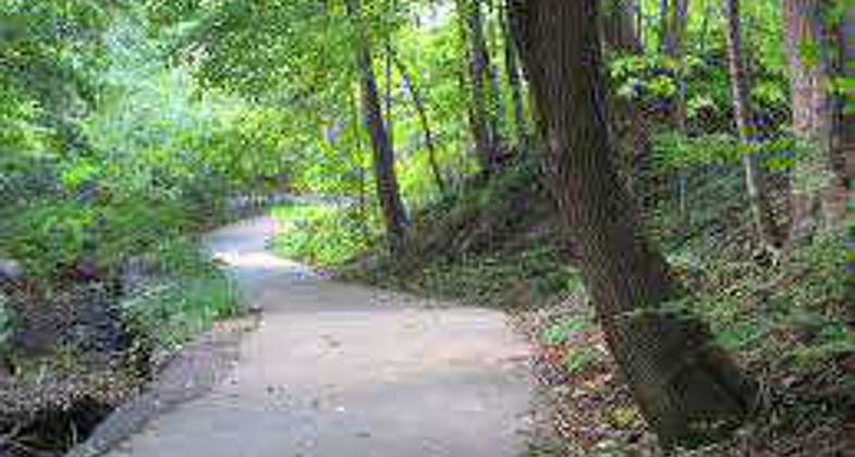
Gorgeous morning for a bike ride on the Cattail Trail. Photo by Jane Yatcilla.
West Lafayette Trail System. Photo by City of West Lafayette.

Location: West Lafayette
- States: Indiana
- Counties: Tippecanoe
Over the past several years, West Lafayette has managed to successfully develop a network of trails and the efforts continue. By the end of summer 2004, the city will have a combined 11 miles of paved trails and two miles of footpaths for citizens and visitors to enjoy. These include the four paved miles of the Cattail Trail, connecting the Northwest Greenway Trail, Celery Bog Nature Area, residential areas along Lindberg Road, and Pickett Park at Purdue University (one mile now open).
West Lafayette's network of trails is increasing in size. In fact, the city is already making plans for the construction of six miles of additional trails, beginning in 2004, to tie together the community for pedestrians and bicyclists. More immediately, the parks include 430 acres in which can be found natural areas, playgrounds, picnic shelters, ball fields, and a boat ramp. There is a community center, a nature center, a municipal pool, and soon an outdoor public skating center - the only one in Greater Lafayette. Developing recreational facilities is an ongoing effort that requires time and money, but it is an effort to which West Lafayette remains firmly committed. A recreation guide, that includes a map of existing and planned trails, is available upon request or at city hall, Morton Community Center, or Lilly Nature Center.
Accessibility Information
No text provided.
Allowed Uses:
Bicycling Dogs, on leash Hiking/Walking Snow, cross-country skiingOther Activities
- Snow, snow play general
- Wildlife viewing / observation
Public Contact
Joe PayneWest Lafayette Parks & Recreation
609 West Navajo St.
West Lafayette, IN 47906
[email protected] • (765) 775-5110
www.westlafayette.in.gov/park
Contact the trail manager for current maps and visiting details.
More Details
- Elevation (low): 650
- Elevation (high): 700
- Elevation (cumulative): --
- Part of a Trail System? No
- Surface (primary): Paved
- Surfaces (additional): Paved
- Tread Width (average): 120"
- Tread Width (minimum): --
- Running length (minimum): --
- Tread Grade (average, percent): 3
- Tread Grade (maximum): 5
- Running length (maximum): --
- Cross-slope (average, percent): --
- Cross-slope (maximum): --
- Running length (maximum): --
- Certified as an NRT
Jun 4, 2003