Carson Trail
check with the trail manager for updated details before visiting.
Carson Trail
U.S. Fish and Wildlife Service
Frontcountry Trail
- Length
1 mile
- Elevation Gain
--
- Route Type
out & back
(1 review)
- Length
1 mile - Elevation Gain
-- - Route Type
out & back
Located in the Rachel Carson National Wildlife Refuge, this 1-mile interpretive trail and greenway traverses three natural habitats and offers numerous opportunities to view wildlife.

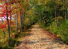
A fall trail beckons at Rachel Carson National Wildlife Refuge in Maine. Photo by USFWS.
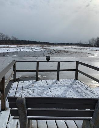
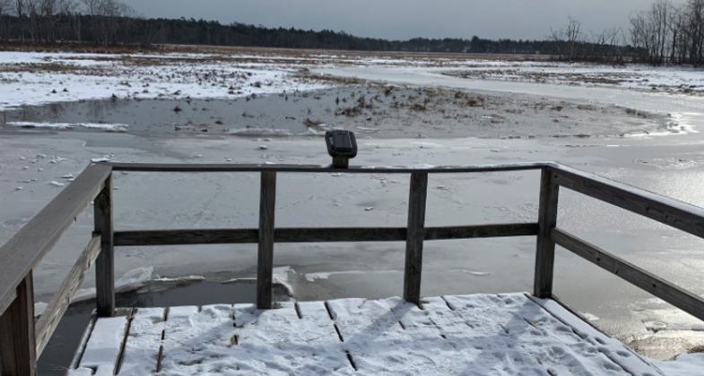
Winter view. Photo by Janie Walker.
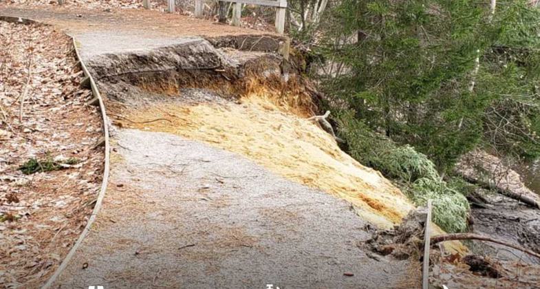
Winter 2018-2019 Trail Erosion. Photo by Andy Griffith.
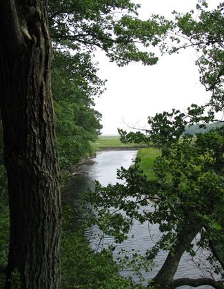
Photo by Captain-tucker/wiki.

Ferns on trail. Photo by Captain-tucker/wiki.
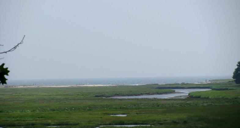
Photo from walking trail. Photo by Captain-tucker/wiki.
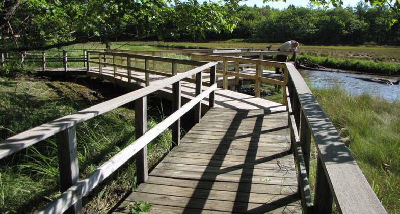
This Hurricane Sandy recovery project repaired damages to a section of boardwalk on the Carson Trail. Photo by USFS.
Location: At Rachel Carson National Wildlife Refuge just outside Wells, ME
- States: Maine
- Counties: York
The Carson Trail was built by volunteers, Maine Conservation Corps, Youth Conservation Corps, and staff in 1988 after three years of hard work. Trail design takes advantage of a natural isthmus and the confluence of Branch Brook and the Merriland River to form the Little River. The compacted crushed-stone tread is outlined with 1x6 planks, bent to the undulations of the trail. Handrails, where present, are mounted on taper-cut 4x4 timbers and interior-fastened, overlapping 1x2 stock. Framing and handrails on the older sections of the trail are pressure-treated yellow pine. Sections rebuilt after a dramatic landslide use plastic lumber.
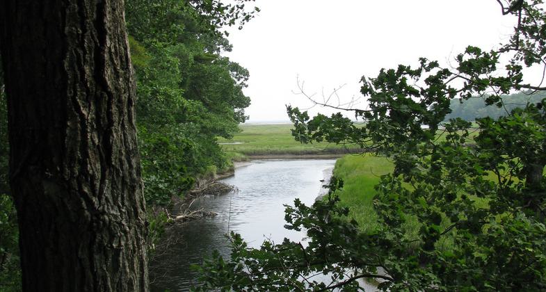
The trail is set back from the river banks by the width of three to six trees. The red maples, birches, alders, oaks, and black cherry are mature allowing excellent views without direct disturbance. Eleven interpreted stops to provide overlooks, benches, and information on area wildlife. Most of the stops offer views of salt marsh pools and pannes with the Gulf of Maine in the distance. Newer uplands are dominated by eastern white pine, balsam fir, and red spruce.
An interpretative brochure covers the coastal wetlands and wildlife habitat, as well as the author, Rachel Carson. The trail transverses three habitats, upland hardwoods, shrub-scrub, and salt marsh. The varied structures and edges provide excellent wildlife habitat. Migratory birds are the most prevalent species present, but otters, deer, moose, coyote, bear, and turkey have all been seen from the trail.
Accessibility Information
No text provided.
Reviews
Janie Walker
Winter visit, Feb 2022
Easy to follow loop trail. Many viewpoints and numbered info spots. Nicely maintained. Lovely day, lovely winter visit.
Allowed Uses:
Dogs, on leash Hiking/WalkingOther Activities
- Wildlife viewing / observation
Public Contact
Ward FeurtUS Fish and Wildlife Service
321 Port Road
Wells, ME 4090
[email protected] • (207) 646-9226
RachelCarson.fws.gov
Contact the trail manager for current maps and visiting details.
More Details
- Elevation (low): 58
- Elevation (high): 66
- Elevation (cumulative): --
- Part of a Trail System? No
- Surface (primary): Rock, crushed
- Surfaces (additional): Boardwalk
- Tread Width (average): 60"
- Tread Width (minimum): --
- Running length (minimum): --
- Tread Grade (average, percent): --
- Tread Grade (maximum): 1
- Running length (maximum): --
- Cross-slope (average, percent): --
- Cross-slope (maximum): --
- Running length (maximum): --
- Certified as an NRT
May 31, 2006