Cape Alava Trail
check with the trail manager for updated details before visiting.
Cape Alava Trail
National Park Service
Backcountry Trail
- Length
3.3 miles
- Elevation Gain
--
- Route Type
out & back
- Length
3.3 miles - Elevation Gain
-- - Route Type
out & back
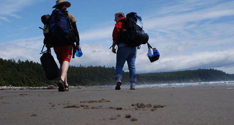
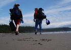
On the beach at the end of the Cape Alava National Recreation Trail in Washington state.
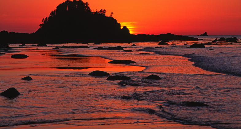
Ozette Island. Photo by David van Wingerden.
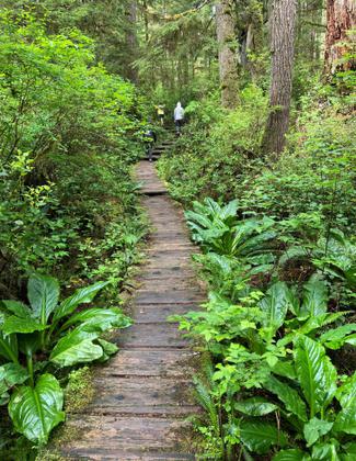
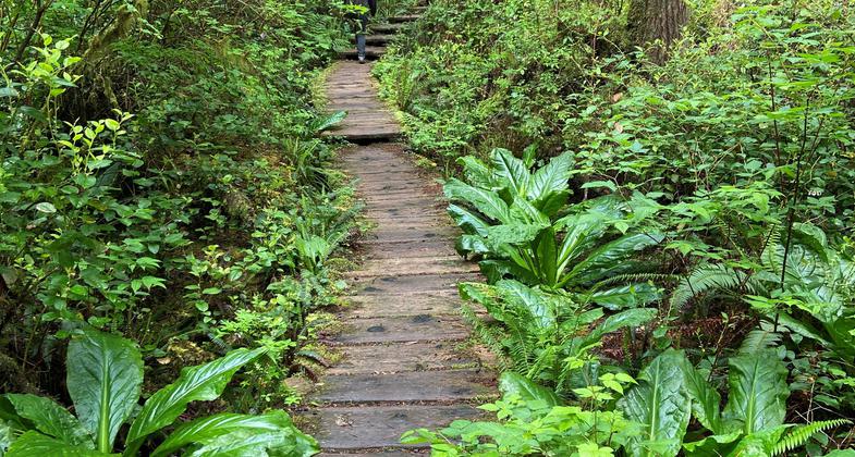
The Cape Alava Trail on the Olympic Coast of Washington. Photo by Chris Sheffield.
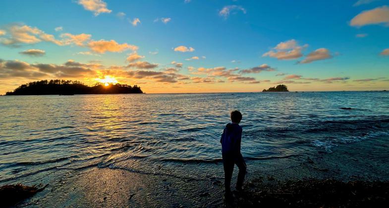
Cape Alava incoming tide at sunset. Photo by Kimball Andrew "Kim" Schmidt.
Location: In Olympic National Park at Cape Alava near Ozette.
- States: Washington
- Counties: Clallam
Two trails to the coast begin at Lake Ozette, the Sand Point Trail and the Cape Alava Trail. These are both mostly flat with minimal elevation gain. Both are nearly continuous wooded boardwalks (cedar plank walkways) through teeming coastal marsh and grasslands. Careful - boards are slippery when wet, which is most of the time.
Both trails are three miles and require 3-5 hours and are easy strolls and lead to one of the most beautiful and primitive beaches on the coast (another three-mile trail called the Cape Alava Trail to Sand Point Travelway).
Many people utilize all three trails and make a nine-mile triangle. The best method is to hike north to keep the ocean breeze at your back by taking the Sand Point Trail and then continue north along the beach and then back to Lake Ozette on the Cape Alava Trail. To complete the triangle the tide must be low.
You will find dozens of Indian petroglyphs at Wedding Rocks, near the high tide line. Ask for the interpretive handout at the ranger station. Along the coast, you will see marine life, Ozette Island, and Cape Alava, the most western point in the contiguous United States.
The northern point of the triangle trail is Cape Alava, with a rocky shore and reefs to explore at low tide. cape Alava is also the site of an ancient Makah village. The site is now closed and marked with a small sign. Be sure to check a tide table and carry the 10 essentials and lots of film, as seals, deer, eagles, perhaps osprey, otters, and whales may be there, rain or shine! Avoid Vibram sole shoes, as the cedar walkway can be slick!
Accessibility Information
No text provided.
Allowed Uses:
Hiking/WalkingPublic Contact
Olympic National Park600 East Park Ave.
Port Angeles, WA 98362
Contact the trail manager for current maps and visiting details.
More Details
- Elevation (low): --
- Elevation (high): --
- Elevation (cumulative): --
- Part of a Trail System? No
- Surface (primary): --
- Surfaces (additional): --
- Tread Width (average): 0"
- Tread Width (minimum): --
- Running length (minimum): --
- Tread Grade (average, percent): --
- Tread Grade (maximum):
- Running length (maximum): --
- Cross-slope (average, percent): --
- Cross-slope (maximum): --
- Running length (maximum): --
- Certified as an NRT
Mar 19, 1981