Bull Run - Occoquan Trail
check with the trail manager for updated details before visiting.
Bull Run - Occoquan Trail
State
Frontcountry Trail
- Length
18 miles
- Elevation Gain
--
- Route Type
out & back
(1 review)
- Length
18 miles - Elevation Gain
-- - Route Type
out & back
The Bull Run-Occoquan Trail passes through the 5,000 acres of the Occoquan shoreline parklands.
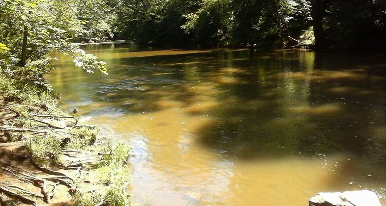

Location: Bull Run, Hemlock Overlook, Bull Run Marina, and Fountainhead Regional Parks, Follows north shore of Occoquon River from Fountainhead Park to Bull Run Regional Park.
- States: Virginia
- Counties: Fairfax, Fairfax
The 5,000 acres of the Occoquan shoreline parklands, through which the Bull Run-Occoquan Trail passes, offer more than recreation.
A valuable conservation area where upland forests and wetlands are being preserved and wildlife protected, it shelters a profusion of birds-blue heron, osprey, bald eagles, neo-tropical songbirds, resident and migrating waterfowl and other native wildlife: white-tailed deer, wild turkey, beaver, fox, and raccoon.
Turtles, fish, and reptiles inhabit the freshwater tributaries feeding Bull Run and the Occoquan Reservoir, along which the largest grouping of Virginia Bluebells in the state, flower profusely in spring. Since 1967, this 18-mile, natural surface trail along the Bull Run-Occoquan stream valley has offered hikers and equestrians a variety of challenges as it rises and falls following the blazed route, accessing four Regional Parks-each with an internal system of trails and recreational facilities.
The Bull Run-Occoquan Trail, in its entirety, is currently under development as a Virginia Civil War Trail, to interpret the numerous events in this region associated with that significant period in history. Maintenance of the trail is provided through a partnership between the Northern Virginia Regional Park Authority, the Potomac Appalachian Trail Club (PATC), REI Outfitters, the Clifton Horse Society, local Scout troops, and other community volunteers.
Accessibility Information
No text provided.
Reviews
Stewart Jollymore
Great trail system
I have run here for a few years. Everything from 10k to 50 miler. Lots of ways to explore the area and the off shoot trails especially down by Fountainhead. Can get crowded on nice weekends even in winter. Lots of dogs off leash so be alert with young children. Also historical Civl War sites to be seen from the trail!
Allowed Uses:
Dogs, on leash Equestrian Hiking/WalkingOther Activities
- Fishing
- Wildlife viewing / observation
Public Contact
Mark RiddellN. Virginia Regional Park Authority
5400 Ox Road
Fairfax Station, VA 22039
[email protected] • (703) 359-4603
www.nvrpa.org
Contact the trail manager for current maps and visiting details.
More Details
- Elevation (low): 125
- Elevation (high): 334
- Elevation (cumulative): --
- Part of a Trail System? No
- Surface (primary): Soil
- Surfaces (additional): Soil, Water, slow moving, Water, calm
- Tread Width (average): 0"
- Tread Width (minimum): --
- Running length (minimum): --
- Tread Grade (average, percent): 10
- Tread Grade (maximum): 40
- Running length (maximum): --
- Cross-slope (average, percent): --
- Cross-slope (maximum): --
- Running length (maximum): --
- Certified as an NRT
May 31, 2006