Brushy Creek Regional Trail & Conservation Corridor
check with the trail manager for updated details before visiting.
Brushy Creek Regional Trail & Conservation Corridor
City, Town, or County
Urban Trail
- Length
3 miles
- Elevation Gain
--
- Route Type
out & back
- Length
3 miles - Elevation Gain
-- - Route Type
out & back
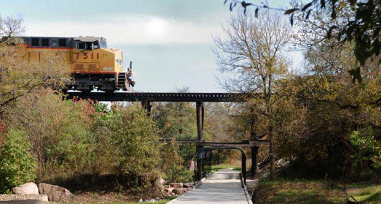
photo by Sallie Burchett of BWM Group Planning and Landscape Architecture.
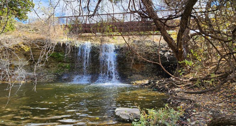
Near the beginning of the trail there is a waterfall that you can sit by or walk over. Photo by Ciera Lanier.
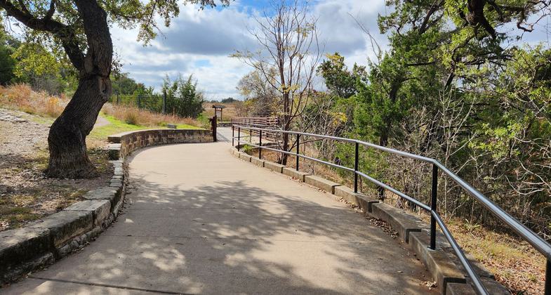
Nice little start to the day. Photo by Ciera Lanier.
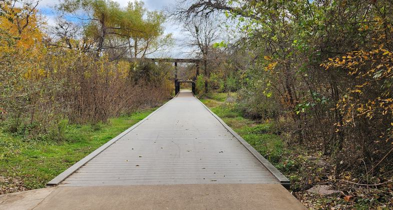
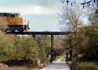
This board walk goes under a railroad track that carried Pink Granite to Austin during the building of the capital. Photo by Ciera Lanier.
Location: Cedar park to Round Rock
- States: Texas
- Counties: Williamson
The Brushy Creek Trail and Conservation Corridor was originally planned for eight miles, but due to its initial success and enthusiasm generated by the first section of the trail, a vision of a 30-mile trail is now reasonably foreseen. The trail which connects with parks along its route paralleling Brushy Creek offers users many diverse versions of Texas hill country open space. A 2.5-mile segment was completed in December of 2002 through a cooperative effort of the cities of Austin, Cedar Park, Round Rock, the Brushy Creek, and Fern Bluff Municipal Utility Districts, and several private landowners coordinated by Williamson County. Cedar Park will complete a 1/2 mile section in November 2003, which will give us a total of three miles of trail. The entities are continuing to work together on the next trail phase to provide a safe and versatile recreation area as well as an alternate means of transportation.
Accessibility Information
No text provided.
Allowed Uses:
Bicycling Dogs, on leashOther Activities
- Caving
Public Contact
Jim RodgersWilliamson County
350 Discovery Blvd., Ste. 207
Cedar Park, TX 78613
[email protected] • (512) 260-4263
www.wilco.org
Contact the trail manager for current maps and visiting details.
More Details
- Elevation (low): 760
- Elevation (high): 834
- Elevation (cumulative): --
- Part of a Trail System? No
- Surface (primary): Rock, crushed
- Surfaces (additional): Rock, crushed
- Tread Width (average): 120"
- Tread Width (minimum): --
- Running length (minimum): --
- Tread Grade (average, percent): 2
- Tread Grade (maximum): 8
- Running length (maximum): --
- Cross-slope (average, percent): --
- Cross-slope (maximum): --
- Running length (maximum): --
- Certified as an NRT
Jun 1, 2004