Bright Angel Trail
check with the trail manager for updated details before visiting.
Bright Angel Trail
National Park Service
Backcountry Trail
- Length
7.8 miles
- Elevation Gain
--
- Route Type
out & back
- Length
7.8 miles - Elevation Gain
-- - Route Type
out & back
The Bright Angel Trail was originally an Indian trail used by the Havasupai Indians to commute between the rim and Indian Garden.
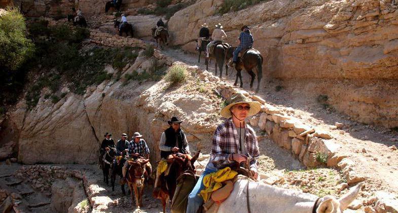
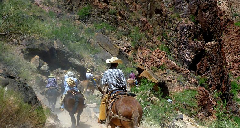
Bright Angel Trail in Arizona, south rim of the Grand Canyon inside Grand Canyon National Park; photo by Fiana Shapiro.

Hikers returning to the trailhead. Photo by Valerie A. Russo.

View from the trailhead. Photo by Valerie A. Russo.

You enter this trail from the Grand Canyon Rim Trail. Photo by Valerie A. Russo.

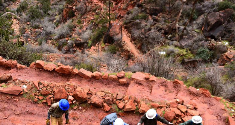
Crew members from the American Conservation Experience working on cyclical trail maintenance. Photo by Jessica Plance.

Crew members from the American Conservation Experience working on cyclical trail maintenance. Photo by Jessica Plance.

Crew members from the American Conservation Experience working on cyclical trail maintenance. Photo by Jessica Plance.

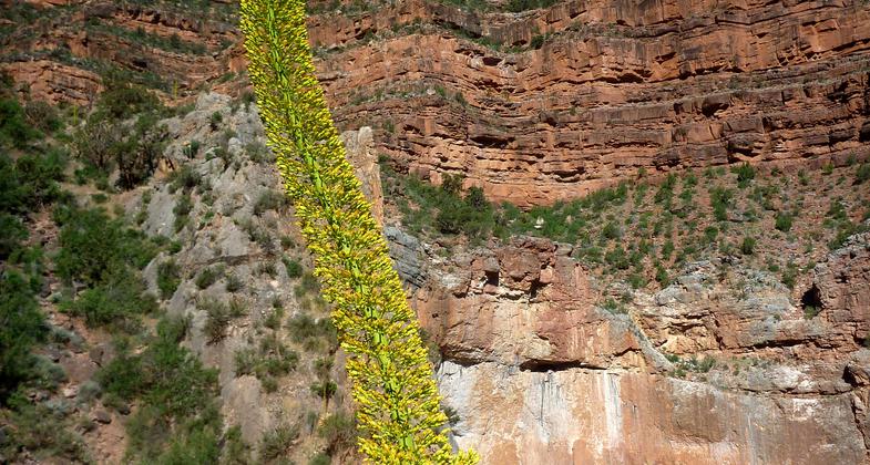
Arizona, south rim of the Grand Canyon inside Grand Canyon National Park. Photo by Fiana Shapiro.

Arizona, south rim of the Grand Canyon inside Grand Canyon National Park. Photo by Fiana Shapiro.

Arizona, south rim of the Grand Canyon inside Grand Canyon National Park. Photo by Fiana Shapiro.
Location: At Grand Canyon National Park, connects Grand Canyon Village to Colorado River.
- States: Arizona
The trail was improved by prospectors in the late 1800s. One of the miners, Ralph Cameron, realizing that the tourist trade was more profitable than the mining trade, brought out his partners and took control of the trail. He extended the trail from Indian Garden to the river and began to charge a toll of $1 for its use. The tourist with a free access path to the river. In 1928, after a long ownership battle ownership interest of the Bright Angel Trail was finally transferred to the National Park Service.
Elevations: Rim - 6860' Colorado River - 2400'
Accessibility Information
No text provided.
Allowed Uses:
Equestrian Hiking/WalkingPublic Contact
Grand Canyon National ParkP.O. Box 129
Grand Canyon, AZ 86023
(520) 638-9734 ext. 2
Contact the trail manager for current maps and visiting details.
More Details
- Elevation (low): --
- Elevation (high): --
- Elevation (cumulative): --
- Part of a Trail System? No
- Surface (primary): --
- Surfaces (additional): --
- Tread Width (average): 0"
- Tread Width (minimum): --
- Running length (minimum): --
- Tread Grade (average, percent): --
- Tread Grade (maximum):
- Running length (maximum): --
- Cross-slope (average, percent): --
- Cross-slope (maximum): --
- Running length (maximum): --
- Certified as an NRT
Mar 19, 1981