Bootjack Trail
This information is a public record of the 1976 NRT application and may be out of date if it has not been updated by a trail manager --
check with the trail manager for updated details before visiting.
check with the trail manager for updated details before visiting.
Bootjack Trail
National Park Service
Backcountry Trail
- Length
2 miles
- Elevation Gain
--
- Route Type
out & back
- Length
2 miles - Elevation Gain
-- - Route Type
out & back
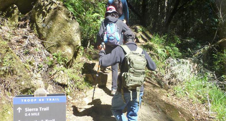
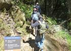
Beginning the climb up the Troop 80 Trail towards Bootjack. Photo by North Bay Christian Hikers.
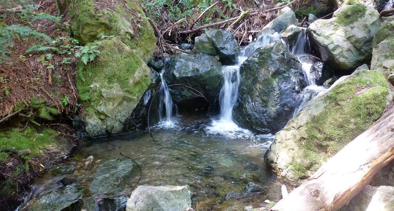
Water cascading into a small pool on the trail. Photo by North Bay Christian Hikers.
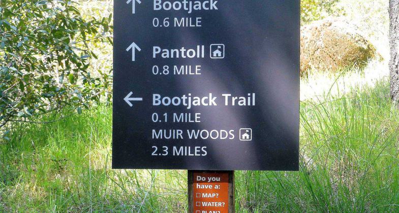
Take the uphill option to add more distance to your hike. Photo by North Bay Christian Hikers.
Location: Rural, north of Golden Gate Bridge.
- States: California
- Counties: Marin
An old growth redwood forest (some trees are over 250 ft tall, at least 1,000 years old) located near a major metropolitan area. Creek, wildflowers, canyon ferns.
Accessibility Information
No text provided.
Allowed Uses:
Hiking/WalkingOther Activities
- Wildlife viewing / observation
Public Contact
Jim BoucherMuir Woods National Monument
Mill Valley, CA 94941
[email protected] • (415) 388-2596
Contact the trail manager for current maps and visiting details.
More Details
- Elevation (low): --
- Elevation (high): --
- Elevation (cumulative): --
- Part of a Trail System? No
- Surface (primary): --
- Surfaces (additional): --
- Tread Width (average): 96"
- Tread Width (minimum): --
- Running length (minimum): --
- Tread Grade (average, percent): --
- Tread Grade (maximum):
- Running length (maximum): --
- Cross-slope (average, percent): --
- Cross-slope (maximum): --
- Running length (maximum): --
- Certified as an NRT
Feb 29, 1976