Bona Dea Trail
This information is a public record of the 1984 NRT application and may be out of date if it has not been updated by a trail manager --
check with the trail manager for updated details before visiting.
check with the trail manager for updated details before visiting.
Bona Dea Trail
U.S. Corps of Engineers
Backcountry Trail
- Length
5 miles
- Elevation Gain
--
- Route Type
out & back
- Length
5 miles - Elevation Gain
-- - Route Type
out & back
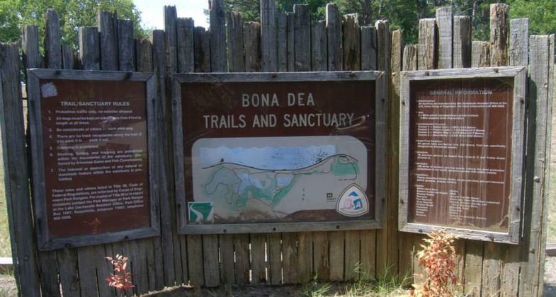
Trailhead sign at Bona Dea Trails and Sanctuary. Photo by USCOE.

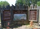
New trailhead sign at Bona Dea. Photo by USCOE.
Location: On NW edge of Russellville on SR 326 (Dike Rd.).
- States: Arkansas
Trail winds through 186 acres of wetland habitat. Perfect for viewing unique forms of fauna and wildlife. Exercise Stations on Rabbit Run and Prairie Creek.
Accessibility Information
No text provided.
Allowed Uses:
Dogs, on leash Hiking/WalkingPublic Contact
Allison SmedleyUS Army Corps of Engineers
1598 Lock and Dam Rd.
Russelville, AR 72802
(501) 968-5008
Contact the trail manager for current maps and visiting details.
More Details
- Elevation (low): --
- Elevation (high): --
- Elevation (cumulative): --
- Part of a Trail System? No
- Surface (primary): Rock, crushed
- Surfaces (additional): Wood chips/mulch
- Tread Width (average): 10"
- Tread Width (minimum): --
- Running length (minimum): --
- Tread Grade (average, percent): --
- Tread Grade (maximum):
- Running length (maximum): --
- Cross-slope (average, percent): --
- Cross-slope (maximum): --
- Running length (maximum): --
- Certified as an NRT
Apr 5, 1984